PhD defense by Gerald Forkuor “Agricultural Land Use Mapping in West Africa Using Multi-sensor Satellite Imagery”

PhD defense by Gerald Forkuor “Agricultural Land Use Mapping in West Africa Using Multi-sensor Satellite Imagery”

January 15, 2015

Gerald Forkuor after his defence

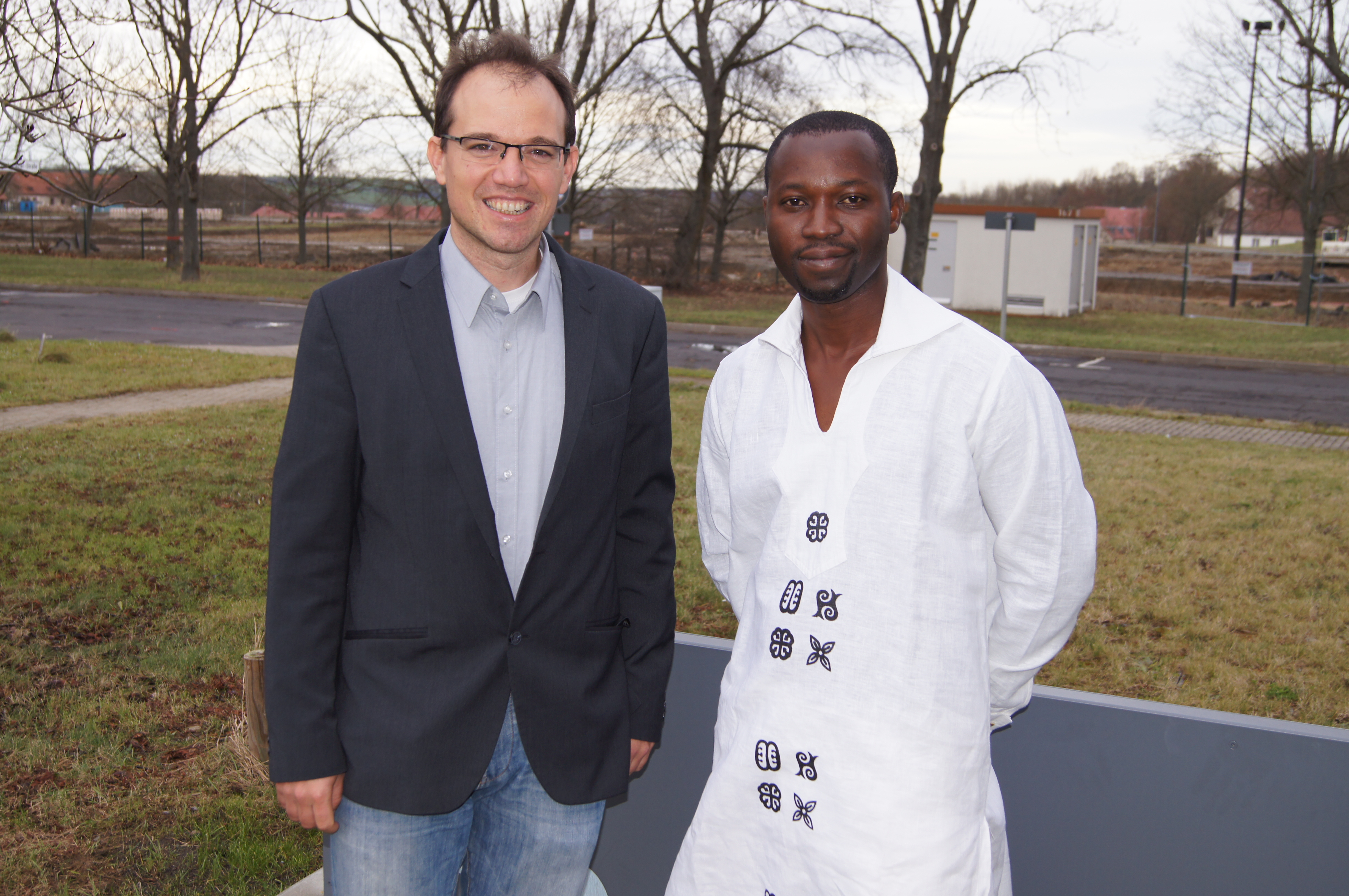
Gerald Forkuor with his supervisor Prof. Christopher Conrad

On January 14 2015 Gerald Forkuor defended his PhD on remote sensing for crop mapping in West Africa successfully – congratulations!
He is currently working at the International Water Management Institute in Ghana in a related topic of remote sensing.

The PhD dissertation is available under https://opus.uni-wuerzburg.de/files/10868/Thesis_Gerald_Forkuor_2014.pdf
 

follow us and share it on:

you may also like:

A Thank You for a Remarkable 2025 🌍

A Thank You for a Remarkable 2025 🌍

As 2025 draws to a close, we at the Earth Observation Research Cluster (EORC) would like to take a moment to reflect on an inspiring and productive year—and to say thank you to everyone who made it possible - from EORC staff, EAGLE student to our collaborators. This...

Remote sensing insights into biogas flowering mixtures

Remote sensing insights into biogas flowering mixtures

Perennial wildflower mixtures are gaining importance as an alternative to maize in biogas production. As highlighted in the praxis-agrar article on crop diversification with biogas flowering mixtures, they combine agricultural use with clear ecological benefits....

Share This