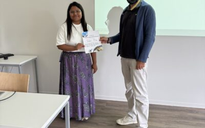
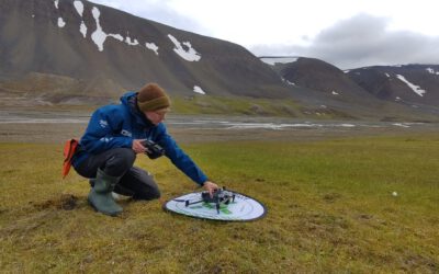
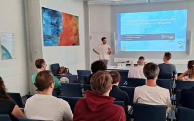
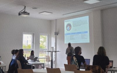
 The course “Remote Sensing and Biodiversity analysis” is currently taking place in the Bavarian Forest Nationalpark with lectures on botany, various remote sensing field methods, analysing LiDAR and hyperspectral remote sensing data and R coding. We already covered the botany and history of the Nationalpark and some first field data collection methods such as GPS… Read More
Powered by WPeMatico


