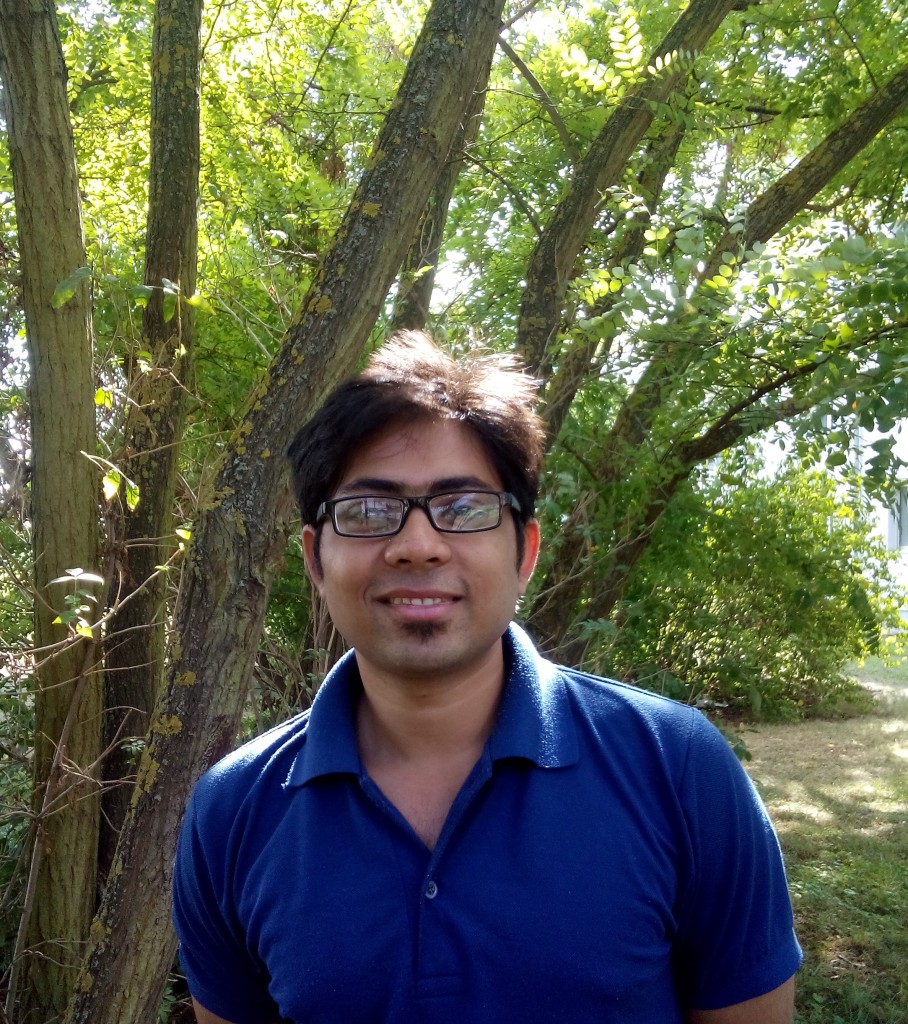
Siddhartha Khare from India is recently visiting the Department of Remote Sensing in University of Würzburg. He is pursuing his Ph.D.in Geomatics Engineering Group of Indian Institute of Technology Roorkee. He arrived in Wurzburg on 1st of September 2015 to carry out a part of his Ph.D. work until end of November 2015. The objective of his visit is to perform state-of –the-art analysis of satellite remote sensing data for monitoring forest biodiversity across German test site and as well as for Indian test site. His specific topic of research is “Object Based Image Analysis for the assessment of forest biodiversity using satellite data”. During his stay we would explore and learn the technical aspects under the guidance of Dr. Hooman Latifi which focuses on research and development in remote sensing-assisted modelling of forest and environmental entities. His stay would contribute to establish a scientific cooperation between Indian and German remote sensing groups.
Building Capacity for Climate Research: Remote Sensing Training with West African PhD Students
For two weeks, our NetCDA Team, this time formed by our colleagues Lilly Schell and Michael Thiel, is back at the Kwame Nkrumah University of Science and Technology (KNUST) as part of the WASCAL Graduate School on Climate Change and Land Use, supporting PhD candidates in developing their own skills on remote sensing analyses related […]


