Backpack based Lidar system for Earth Observation field work

Backpack based Lidar system for Earth Observation field work

m

January 12, 2022

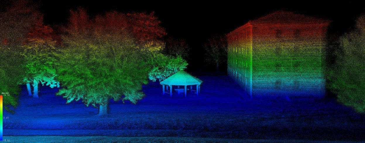
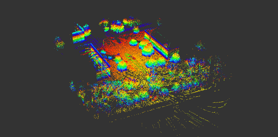
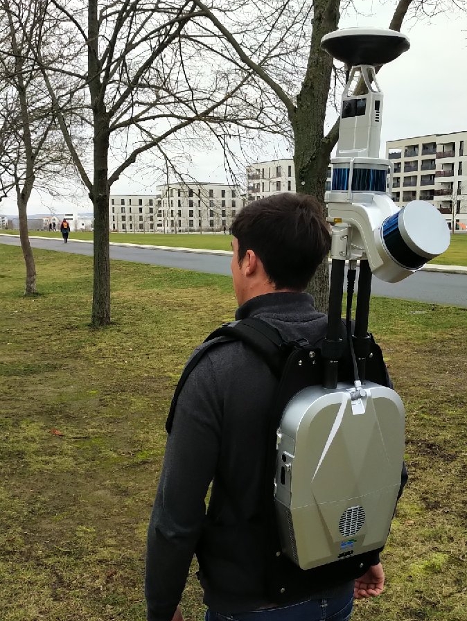
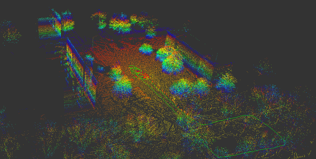
Preparing Earth Observation field work campaigns and testing our backpack-based Lidar system for analyzing vertical structure of the environment. We will test it on various settings to ensure that the upcoming field work across Europe will be a success and spend time now during the winter season to fine-tune the field equipment and analyze the test data for future proper research analysis.

The system will be applied across different environments, from forest to grassland to urban systems and of course also used for teaching purposes in order to expose our students to the variety of field work possibilities.

Some screenshots or the previews are displayed, based on one single quick walk on the Campus (yellow line below). In the next weeks we work on the final processing of the full resolution point cloud and the corresponding RGB images and test the best field data acquisition pattern.
 

you may also like:

Urbanization in China – A review of 12 years of research

Urbanization in China – A review of 12 years of research

The world has experienced a tremendous wave of urbanization. In 1975, 37.7% of the world's population lived in urban areas; 50 years later in 2025, this figure has risen to 58.3%. In China, in particular, the dynamics were even more dramatic: in 1975, only 17.4% of...

End of the Year & New Year’s Eve Greetings

End of the Year & New Year’s Eve Greetings

As we approach the end of 2024, we take a moment to reflect on the various great collaborations and project goals we have achieved throughout the year. We extend our heartfelt thanks to our colleagues, collaborators, and partners for your collaboration, contributions,...

EAGLE Daria did her internship in Bergen

EAGLE Daria did her internship in Bergen

Our EAGLE student Daria recently wrapped up an internship at the University of Bergen in the Remote Sensing research group. With the support of her supervisor, Dr. Benjamin Abreu Robson, she got to work on the Jostedalsbreen glacier using drone and satellite data. Her...