From 04th to 08th of April, the first GeoSens EO4IntDev (Earth observation for international development) training in 2022 was successfully completed.
The EO4IntDev training provided an overview of the potentials of remote sensing with a focus on the analysis of satellite-based remote sensing data (such as Landsat, Sentinel, MODIS) and their applications, considering basics, possibilities, and limitations in relation to the cooperation in international development projects such as those of the GIZ.
During a total of five days, practical hands-on exercises for the implementation of a workbench (e.g., download of data, pre-processing, derivation of indicators and phenological indices, analysis, and interpretation) using open-source geospatial analysis tools such as QGIS and Google Earth Engine were given, along with theoretical knowledge.
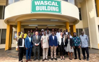
Experiences from international projects in implementing remote sensing activities in project planning and international collaboration took a major role in this training. Lessons learned from the application of remote sensing data and methodologies in diverse projects were presented and discussed in exchange with the international participants such as from Algeria, Ethiopia, Senegal, Sierra Leone, and Germany
The training EO4IntDev was held by the GeoSens team, a non-profit training initiative run by a collective of researchers and experts from the Department of Remote Sensing at the Julius Maximilians University of Würzburg (Germany) and the German Remote Sensing Data Center at the German Aerospace Center (DLR). The EO4IntDev training addressed interested persons with previous knowledge in spatial data (e.g., vector and raster data) who have ideally already worked with geographic information systems (GIS). The next pieces of training are planned for September and October 2022 as well as for February 2023. Please visit us at www.geosens.org to stay posted.