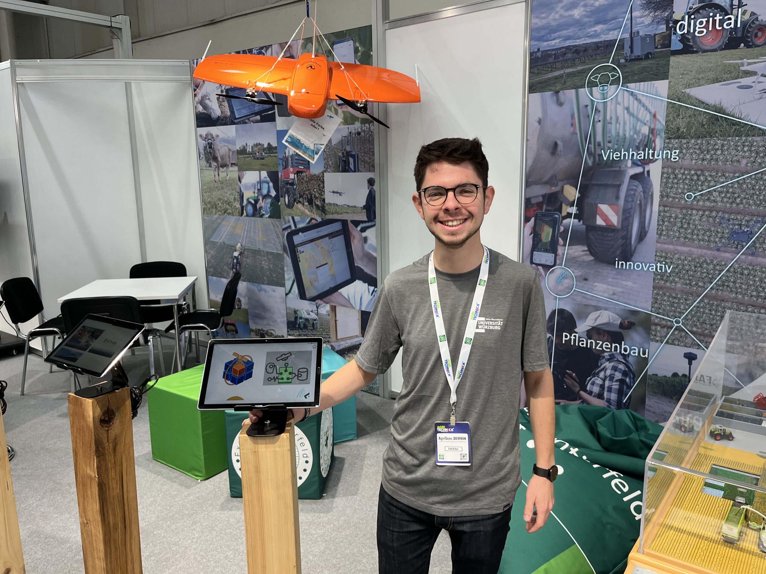
These days, our colleague Christoph Friedrich is in Hannover to represent the AgriSens DEMMIN 4.0 project at AGRITECHNICA. This event is the world’s biggest agricultural trade fair, and although the focus of course is on huge machinery such as tractors or harvesters, there is also a lot of digital transformation happening in the industry. For example, data services are becoming increasingly important for decision making on today’s farms. This is where our research project comes into play: AgriSens DEMMIN 4.0 is advancing the usage of remotely sensed data in crop farming. It is part of the “experimental fields” initiative funded by the German Ministry of Agriculture, which consists of a total of 14 projects who operate a joint booth at the fair.
Among the exhibits is a Wingtra fixed-wing drone, which our project partners use to collect high resolution aerial imagery of the fields. The data can be used to assess the status of the plants in the field, so that for example areas of lower vitality can be identified and the appropriate measures taken. This can be combined with data from satellites — a process that needs a big data archive and a lot of processing power. In our Earth Observation Research Cluster, we develop so-called datacubes to simplify data handling and processing. Our IT infrastructure combines data from various sources, facilitates its processing, and delivers the results to the end user, so that agriculturalists can profit from the valuable information that is captured from above.

