


Last week, Laura, an 8th gen EAGLE Student, participated in the Summer School of Alpine Research, conducted by the University of Innsbruck, in the beautiful location of the Austrian Oetztal in Obergurgl. The focus of the Summer School was on Close Range Sensing Techniques for investigating Alpine Environments. Talks by experts from TU Delf, TU Wien, TU Dresden, TU Munich and Heidelberg University were accompanied by fieldwork to collect and analyze data on the alpine environment.
Laura’s group was assigned with quantifying erosion rates along an alpine riverbed through Terrestrial Laser Scanning (TLS). After the fieldwork, the analysis of the multitemporal 3D point clouds with the py4Dgeo Python library and in CloudCompare followed. The group aims at publishing the results in the ISPRS Journal of Photogrammetry and Remote Sensing. If successful, the work will also be presented by one of her colleagues at the ISPRS Geospatial Week in Dubai in April 2025.
The Summer School of Alpine Research is organized every two years by the University of Innsbruck and focuses on LiDAR, photogrammetry and thermal sensors. During this year’s summer school, interdisciplinary topics like creating a digital twin of the valley as well as creating 3D models of rock climbing routes were also concerned.
Links:
https://www.uibk.ac.at/en/geography/sensing-mountains/2024/
https://py4dgeo.readthedocs.io/en/stable/intro.html
follow us and share it on:
you may also like:

How We Learned to Fly: The Story Behind UAS Research at EORC
Every research group that's ever bought a drone has a story about the first one it lost. We're no different. So let's just get that out of the way up front: this is the inside story of how UAS (Unoccupied Aerial System) research grew up at the Earth Observation...

MainPro workshop on TLS and LiDAR UAS
This week, a workshop organized by Sebastian Buchelt within our EFRE project MainPro brought together students, researchers, and interested project partners to explore modern UAV technologies. The workshop took place in vineyards close to Würzburg and gave the...
25 Years of Remote Sensing in Würzburg
Our chair of remote sensing, Professor Stefan Dech, likes to say "science is rarely a sprint, it's a marathon". And if you look at what's grown out of Würzburg over the last 25 years, you'll see exactly what he means. In 2026 the Julius-Maximilians-Universität...

Starkregen in Bayern: Beobachtungen und Dokumentation zählen
Starkregenereignisse treten immer häufiger lokal, kurzfristig und mit hoher Intensität auf. Innerhalb weniger Stunden können sie erhebliche Überschwemmungen und Schäden verursachen. Um solche Ereignisse künftig besser zu verstehen und die wissenschaftliche Grundlage...

Seeing the World in Points: Lidar Course for the EAGLEs
Lidar has a funny way of sneaking up on you. You think you know what it is, a laser that measures distance, fine, but then someone shows you a point cloud of a forest canopy with individual branches floating in 3D space and suddenly you realize there's a whole...
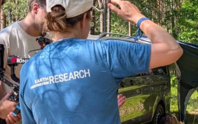
TV Crew Films EORC at MONID Habitrack Fieldwork
A bit of extra excitement at EORC recently: A television crew showed up to film a segment on the MONID Habitrack project financed by the BMFTR, and Dr. Ariane Droin was right in the middle of it, walking them through what Earth...