Our Earth Observation Research Cluster (EORC) and the Earth Observation Center (EOC) of the German Aerospace Center (DLR) contributed also on the second day of the JURSE conference.
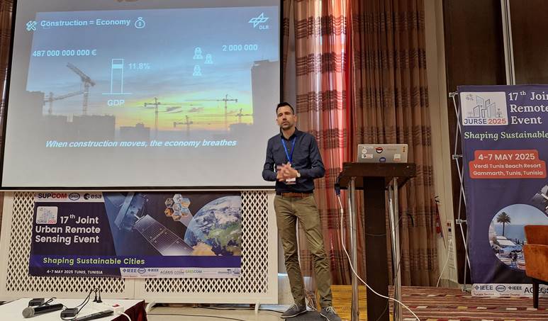
Michael Wurm moderated today a keynote session and he presented in a short pitch and a poster his work titled “Satellite-based fine-grained spatio-temporal monitoring of urban building activities as an indicator of economic development”. In this paper he showed a Satellite-based Building Activity Indicator (SBAI) leveraging Sentinel-2 imagery and machine learning to provide highly resolved, spatiotemporal data on urban construction activities. Comparison with official statistics on construction activity validates its reliability, while its granularity offers enhanced insights into intra-year variations and localized urban growth dynamics.
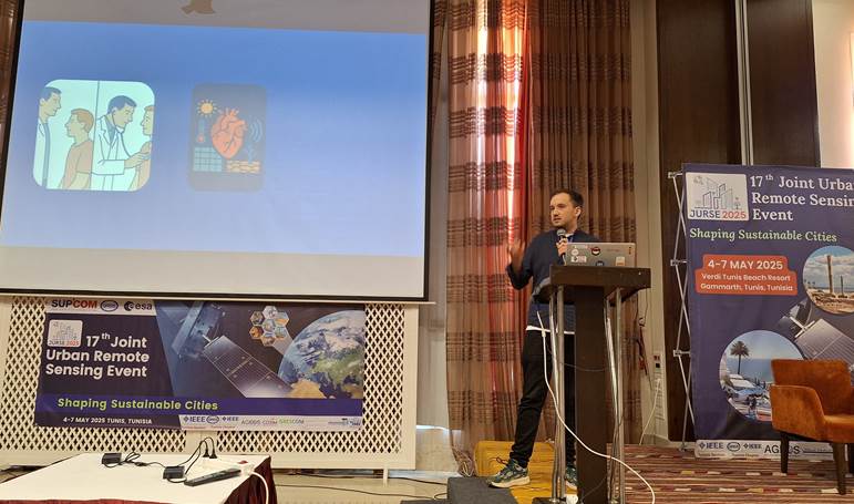
John Friesen presented in a short pitch and a poster his worked titled “Integrating Remote Sensing with Urban Exposome Analysis for Cardiovascular Health in Germany”. In this work, he explored how high-resolution remote sensing can enrich urban exposome analyses to better understand cardiovascular disease (CVD) risks in Germany. By reviewing global evidence on air pollution, noise, and green-space exposures—and assessing their incorporation into major German cohorts—critical gaps in linking fine-scale environmental data with health outcomes are identified. The findings demonstrate that while satellite and drone-based measurements offer unprecedented spatial and temporal detail, few German studies have fully leveraged these tools to quantify cumulative exposome effects. We recommend integrating downscaled NO₂ and land-surface temperature datasets via data-fusion techniques, alongside biomarker and clinical data, to enable targeted public-health interventions and urban-planning strategies that mitigate CVD burden in diverse city contexts.
Thomas Stark presented in a short pitch and a poster his worked titled “Urban Tree Detection: Comparing YOLOv8 and DeepForest for Accurate Single-Tree Identification from Aerial Imagery”. This study addresses the need for accurate tree inventory monitoring in urban areas to support planning and environmental policies. He compared the performance of two object detection algorithms, YOLOv8 and DeepForest, on the urban tree detection task.
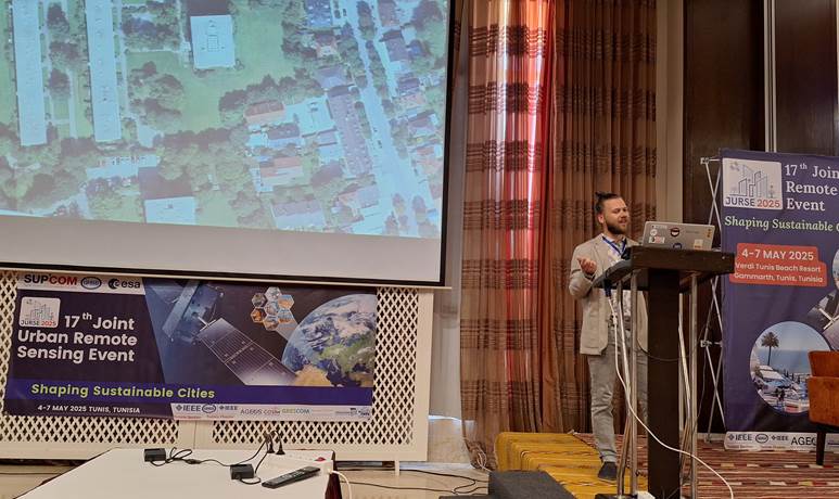
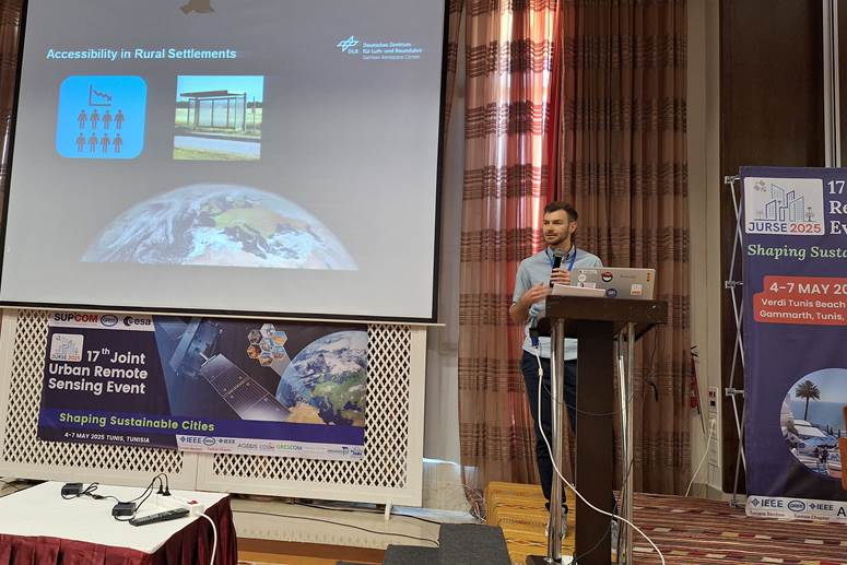
Manuel Köberl presented in a short pitch and a poster his work titled “Spatial Accessibility in Transition: Evaluating Urban Growth and Service Distribution in Westhoek, Belgium”. He examined in this paper the interplay between urban development, demographic change, and accessibility to amenities between 2015 and 2019. The findings reveal that while urbanization and population density correlate with accessibility, improvements of walkability often lag behind development.
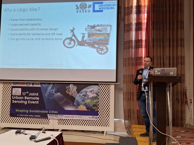
Our collaboration partner from Marco Schmidt (ESSEO, JMU) presented in a short pitch and a poster our joint work titled “Sensing the Environment Using a Cargo Bike”. Despite advances in spatial and temporal resolution, satellite-based remote sensing alone cannot capture fine-scale variations in aspects such as temperature, humidity, air quality and others. He showed that in-situ measurements are in need to accompany satellite data. However, this cannot always be satisfied by the limited network of existing fixed measuring stations. He introduced a cargo bicycle outfitted with environmental
sensors to address this gap, offering high spatial and temporal resolution for in-situ measurements.
On behalf of Matthias Weigand, Ines Standfuß and others, Hannes Taubenböck presented in a short pitch and a poster their work titled “Nationwide classification of settlements types using expert knowledge, remote sensing, and open data”. He showed how semantically defined settlement types such as urban core or suburban area defined by urban experts are translated into space. To do so, expert knowledge, remote sensing, open geodata and machine learning is applied to derive settlement types for Germany.