Last week, EORC staff co-organized and partizipated in the Ecological Society of Germany, Austria and Switzerland (GfÖ) Annual Symposium 2025, this year hosted at University of Würzburg. The symposium, attended by more than 600 people, covered a wide range of topics in ecology research with a focus on current challenges in various ecosystems. As it provides spatially continuous data quantifying the environment, remote sensing plays a crucial methodological role in various fields of ecology research. Hence, remote sensing research was well represented at the symposium across different sessions, e.g. covering the topics of forest ecology, high-altitude alpine research, arctic ecology research or agroecology.
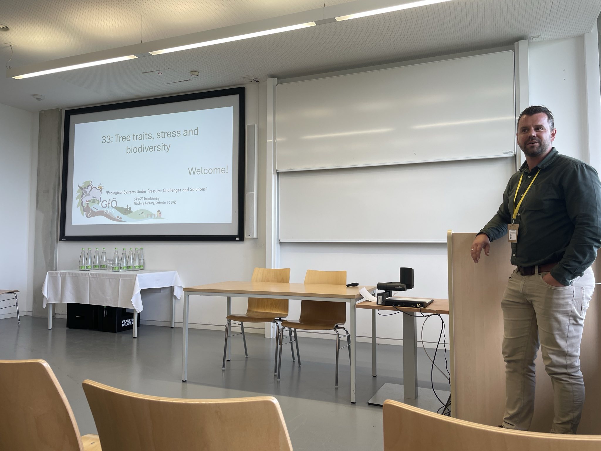
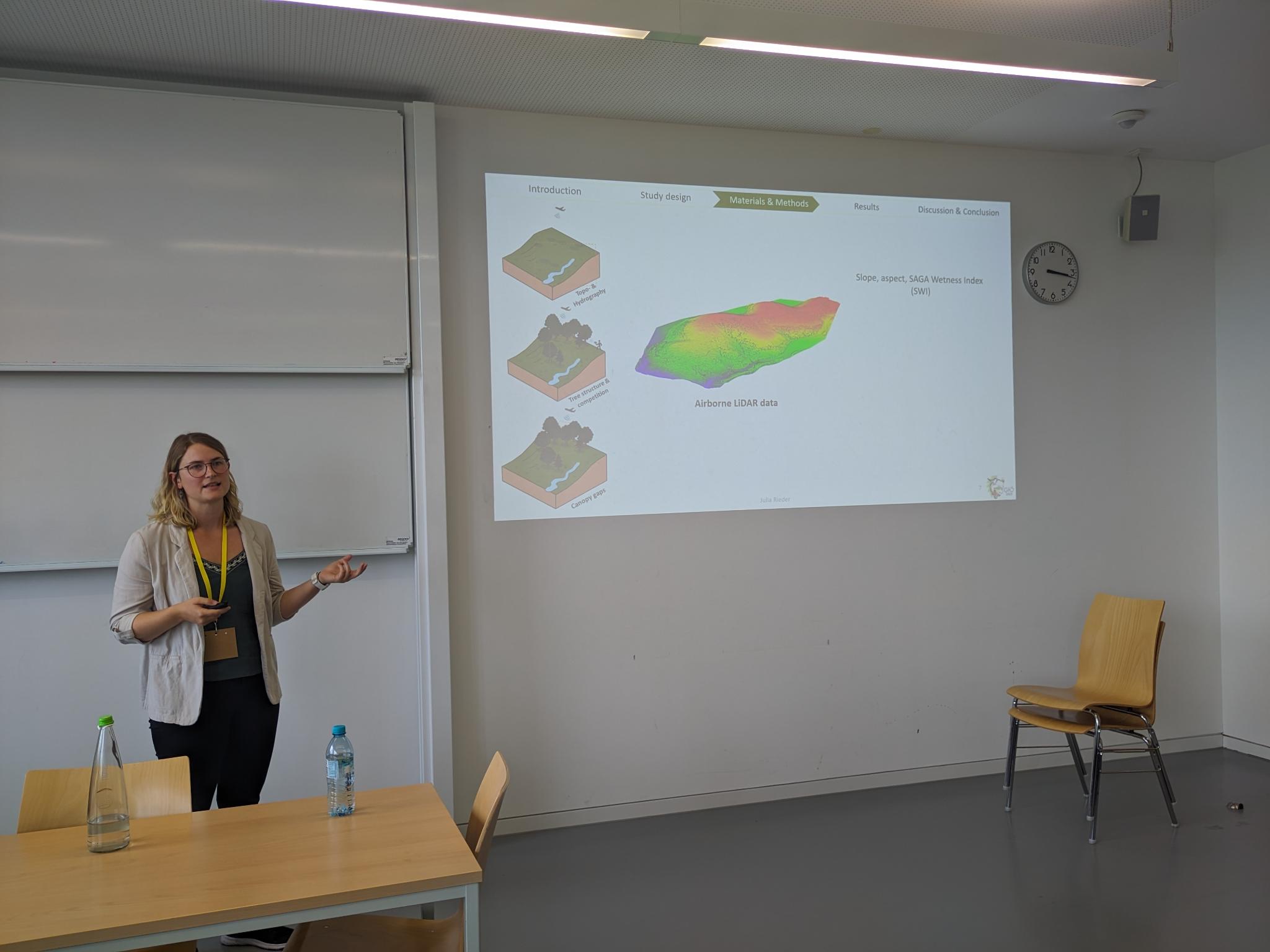
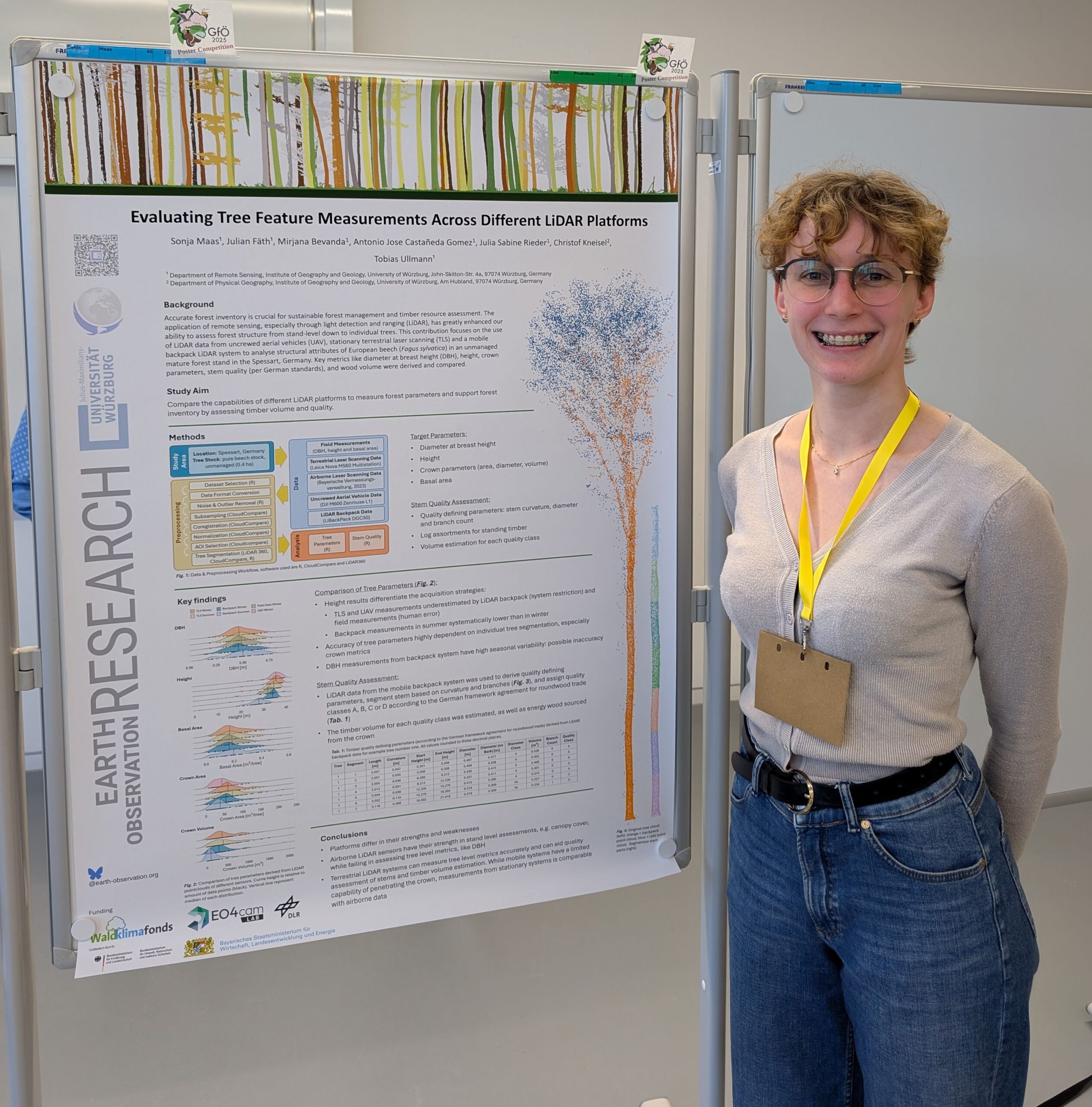
Our scientific staff contributed to the conference across multiple sessions: Dr. Julian Fäth, postdoc at the EORC and researcher in the Bavarian EO4CAM project, chaired the session “Tree traits, stress, and biodiversity”. Within this session, EORC doctoral student Julia Rieder, also researcher in EO4CAM, gave a talk on how tree size and neighborhood characteristics influence the vitality of European beech after severe drought. In addition, Sonja Maas, soon-to-be doctoral student at the EORC in EO4CAM, presented a poster showing her work on tree parameter measurement comparison across LiDAR platforms to support forest management planning.
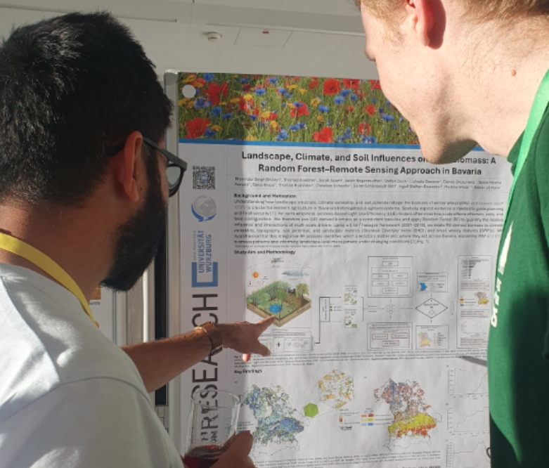
In the field of agroecology, Dr. Maninder Singh Dhillon, biodiversity researcher in the EO4CAM project, showed how landscape, climate and soil influences crop biomass using a random forest-remote sensing approach in Bavaria.
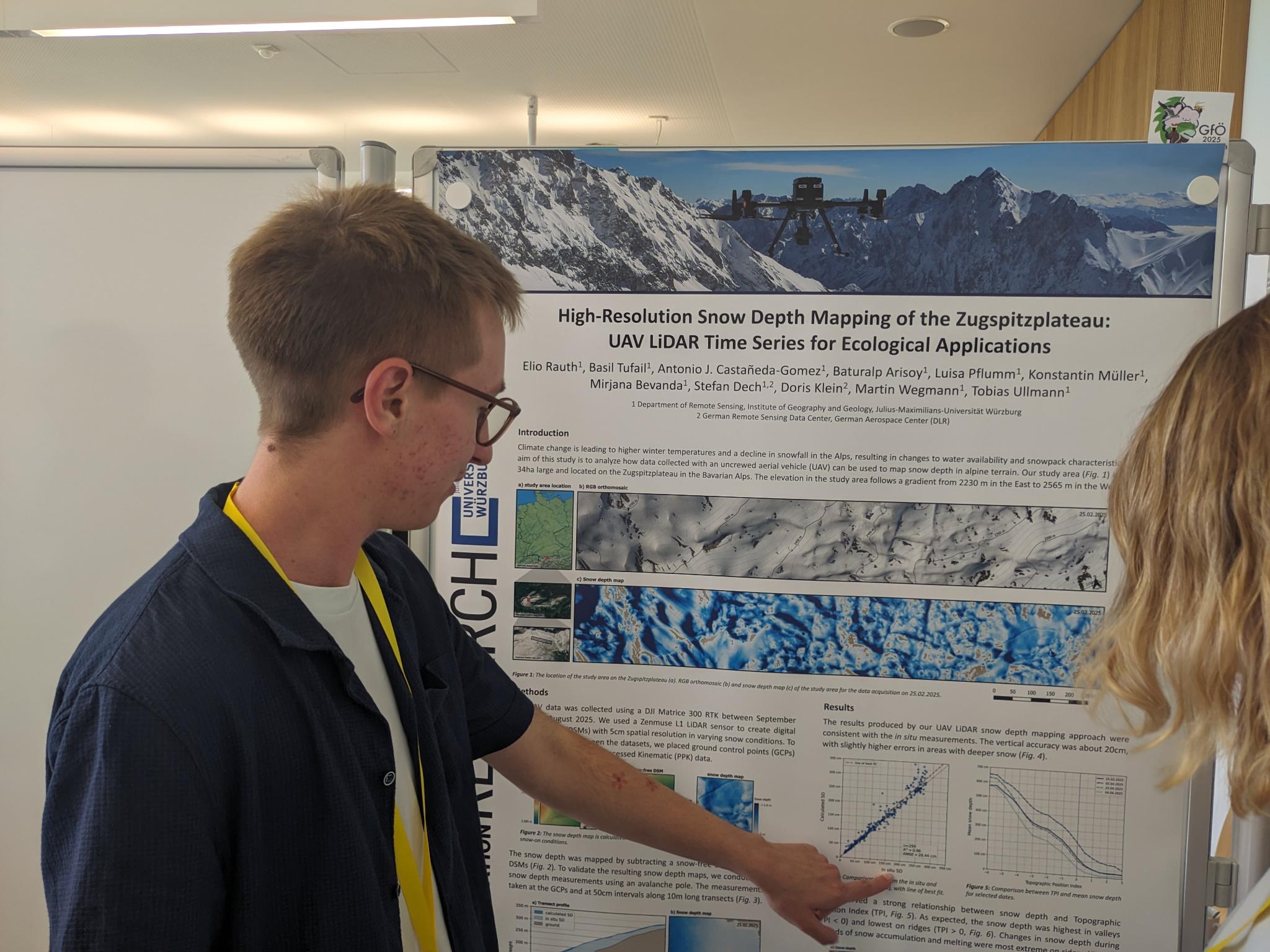
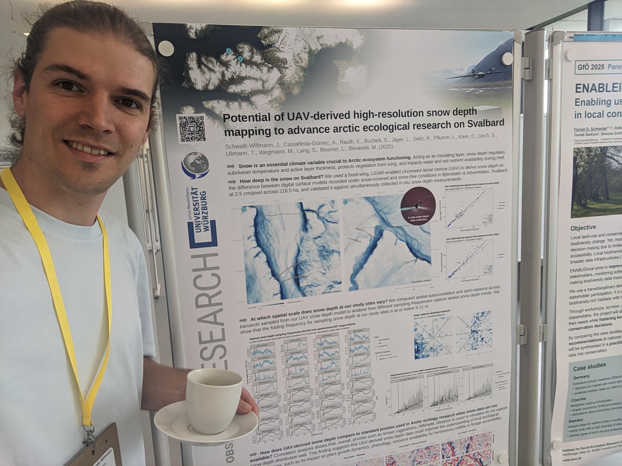
In the domain of high-altitude and high-latitude ecological research, doctoral student Elio Rauth showed his work on high-resolution snow depth mapping on the Zugspitzplatt in Bavaria using UAV LiDAR time series for ecological applications. In addition, Dr. Jakob Schwalb-Willmann, postdoc at the EORC, presented his research conducted in cooperation with the University Centre in Svalbard (UNIS) on the potential of UAV-derived high-resolution snow depth models to advance arctic ecological research on Svalbard.
The symposium was co-organized by EORC staff Sabine Oppmann and Steven Hill who had been working on making the symposium a great success in the months ahead – together with our colleagues of the Chair of Animal Ecology and Tropical Biology, the Chair of Global Change Ecology, the Chair of Conservation Biology & Forest Ecology, as well as the Ecological Society of Germany, Austria and Switzerland (GfÖ) and their organizing team.
We are happy that we had the chance to host the GfÖ annual symposium at University of Würzbug, an event that proved to be a great opportunity for us to connect with researchers working at the interface of ecology research and remote sensing research.