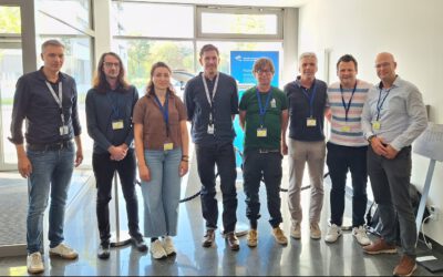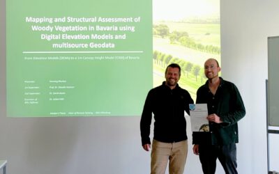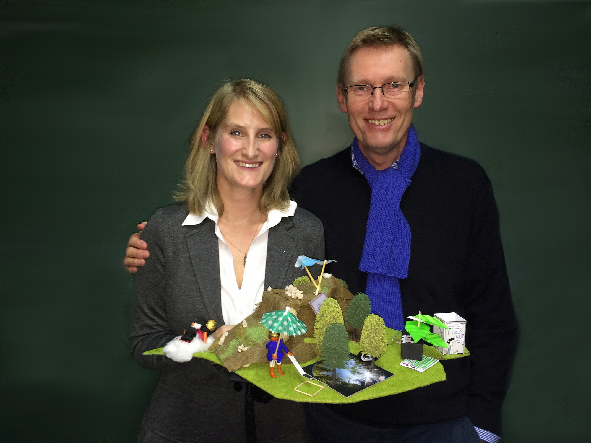
Sarah Asam with her first supervisor Prof. Stefan Dech
We are happy that Sarah Asam, who did already her MSc with us in the Global Change Ecology study program, defended her PhD on “Potential of high resolution remote sensing data for Leaf Area Index derivation using statistical and physical models” successfully! Congratulations!
Moreover, we are proud that she started already last summer to work in the MONALISA Project at the Institut for Applied Remote Sensing of EURAC. If you like to contact her please use her new e-mail address: Sarah.Asam@eurac.edu
Abstract of her PhD:
The leaf area index (LAI) is defined as half the total leaf area per unit ground surface area. As leaves constitute the interface between the biosphere and the atmosphere, the LAI is used to model exchange processes between plants and their environment. To account for the variability of ecosystems, spatially and temporally explicit information on LAI is needed. Remote sensing aims at providing LAI by empirical-statistical or physical models. In the first approach, an empirical relationship between LAI measured in situ and the corresponding canopy spectral signature is established. The physical approach uses a radiation transfer model to simulate canopy reflectance as a function of the scene’s geometry and of leaf and canopy parameters, from which LAI is derived through model inversion against remote sensing data. Until now, LAI research focused either on the use of coarse resolution remote sensing data for global applications, or on LAI modeling over a confined area using medium to high spatial resolution data. This is why to date no study is available in which high spatial resolution data are used for repeated LAI mapping in an heterogeneous landscape such as alpine grasslands. Therefore, issues related to model parameterization and inversion regularization techniques increasing its stability have not yet been investigated for this ecosystem.
This research gap was taken up by this thesis, in which the potential of high spatial resolution remote sensing data for grassland LAI estimation based on statistical and radiation transfer modeling is analyzed. The objectives were an ecosystem-adapted radiation transfer model set-up and an optimized LAI derivation in mountainous grassland areas. Multi-temporal LAI in situ measurements as well as time series of RapidEye data from 2011 and 2012 over the catchment of the River Ammer in the Bavarian alpine upland were used.
For optimizing the empirical-statistical approach, it was analyzed how the selection of vegetation indices and regression models impacts LAI modeling, and how well these models can be transferred to other dates. It was shown that LAI can be derived with a mean accuracy of 80 % using contemporaneous field data, but that the accuracy decreases to on average 51 % when using these models on remote sensing data from other dates. The combined use of several data sets to create a regression for LAI derivation at different points in time increased the LAI estimation accuracy to on average 65 %. Further, it was shown that the use of RapidEye’s red edge channel improves LAI derivation by on average 5.4 %.
With regard to physical LAI modeling, special interest lay in assessing the accuracy improvements that can be achieved through model set-up and inversion regularization techniques. First, a global sensitivity analysis was applied to the radiation transfer model in order to identify the most important model parameters and most sensitive spectral features. Then several inversion regularizations, namely the use of a multiple sample solution, the additional use of vegetation indices, and the addition of noise, were analyzed. Further, an approach to include the local scene’s geometry in the retrieval process was introduced to account for mountainous topography. LAI modeling accuracies of in average 70 % were achieved using the best combination of regularization techniques. Finally, inversion uncertainty measures were evaluated in detail to identify challenging modeling conditions. An increased modeling uncertainty for extremely high and low LAI values was observed. This indicates an insufficiently wide model parameterization and canopy deviation from model assumptions on some fields.
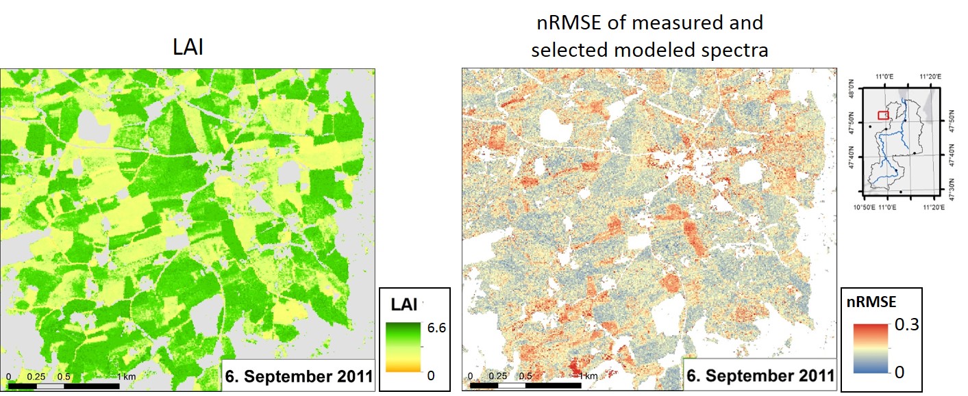
LAI map subset (September 6, 2011) and associated measure of parameter uncertainty
The major findings of the comparison between the empirical-statistical and physical LAI modeling approaches are the higher accuracies achieved by the empirical-statistical approach as long as contemporaneous field data are available, and its computationally efficiency. However, when no or temporally unfitting in situ measurements are available, the physical approach achieves comparable or even higher accuracies. Furthermore, radiation transfer modeling enables the derivation of other leaf and canopy variables as well as of pixel-wise uncertainty measures indicating the robustness and reliability of the model inversion and LAI derivation procedure. This illustration of the potential of RapidEye data and of the challenges associated to LAI derivation in heterogeneous grassland areas contributes to the development of robust LAI estimation procedures based on new and upcoming remote sensing imagery.