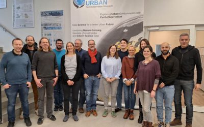
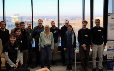
Final workshop on research project OptiPlan (Ein innovatives KI-basiertes Planungstool zur Verkehrserfassung für nachhaltiges Flächenmanagement mittels Kamera- und Satellitenbilddaten)
On September 19, 2025, the consortium of the OptiPlan project (German Aerospace Center (DLR)/University of Würzburg, Ingenieurbüro Behringer & Partner, and OBERMEYER Infrastruktur GmbH) invited partners and users from science and industry to discuss project outcomes, future research, and exploitation perspectives.
AI-based Traffic Monitoring
A major focus of the OptiPlan project was using Ultralytics YOLO (You Only Look Once) to analyze street-level camera data for precise traffic monitoring. For this purpose, different semantic levels were implemented, namely the international COCO (Common Objects in Content) semantic, a nomenclature based on the national German Road and Transportation Research Association (FGSV), as well as a customized scheme according to the specific needs of OBERMEYER GmbH.
Assessment of Land Use Planning for Sustainable Urban Development
Against the background of the planned urban expansion area in the north-east of Munich, a number of planning scenarios were evaluated that highlight the conflict between urban green and water areas on the one hand and built-up areas on the other hand. Using spatial statistics, the assessment of land use particularly takes into account environmental benefits and the reduction of urban heat. This balance is crucial, as Munich is expected continued population growth and thus demand for housing in the future, which underscores the need for sustainable urban development in order to preserve the city’s quality of life.