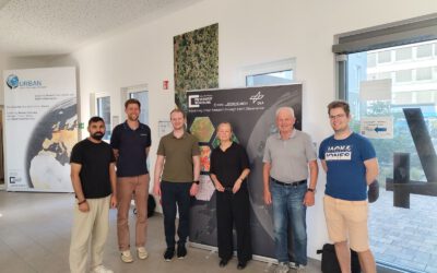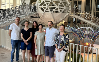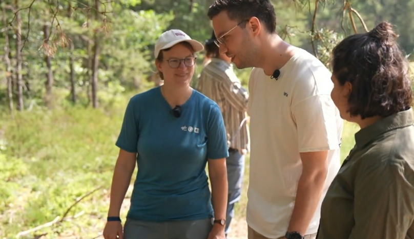

A film crew from RTL showed up in the Oberpfalz this spring, and joint a field campaign by the Habitrack BMFTR funded project.
Dr. Ariane Droin, who leads the Würzburg side of the MONID HABITRACK project at EORC, walked the RTL team through what the project is actually trying to do. And it’s a bit different from the usual tick research you hear about. Instead of just counting ticks or mapping where infections have already happened, the team is trying to get ahead of the problem. They want to know what it is about a patch of forest, right down to the individual forest edge, that makes it a good place for ticks to thrive and for pathogens like TBE viruses and Borrelia bacteria to spread.
That’s where the drones come in. The EORC UAS research team flies survey drones equipped with thermal, multispectral, and LiDAR sensors over forest edges in the districts of Amberg-Sulzbach and Schwandorf, two areas in the Upper Palatinate with some of the highest TBE case numbers in Germany.
LiDAR in particular lets them slice through the vegetation and map the forest structure down to the centimeter, both the vertical layering of the canopy and the horizontal pattern of how open or closed the forest edge is. Is it a hard line between field and forest, or a gradual, brushy transition? Turns out that kind of detail matters a lot for tick habitat.
On camera, Droin explained the logic behind it pretty simply: high precision earth observation lets the team spot health risks at a small, local scale first, and then use that detailed picture to make broader predictions about where the danger actually lies using space-borne Earth Observation. It’s the same idea EORC has used in other remote sensing work, just pointed at a very different kind of problem this time.
The fieldwork itself is a joint effort. Researchers from LMU Munich’s Institute of Infectious and Tropical Medicine collect ticks on the ground and test them for pathogens, while the Würzburg team handles the aerial side. Add in colleagues from the German Consiliary Laboratory for TBE, the Fraunhofer Institute for Translational Medicine and Pharmacology, and the Bavarian State Office for Health and Food Safety, and you’ve got a project that spans remote sensing, epidemiology, virology, and entomology all at once. The whole thing runs under MONID, a modeling network for severe infectious diseases funded by the German Federal Ministry of Research, Technology and Space, BMFTR for short.
The bigger goal, once all the drone data, tick samples, and weather data get fed into the models, is a prediction system that can flag risky times and places before case numbers climb. Right now, health authorities mostly find out where an outbreak is happening after the fact, once enough reported infections pile up. HABITRACK wants to flip that timeline around.
It’s the kind of segment where you can tell RTL was genuinely interested in the tech, drones scanning forest edges for tick risk isn’t exactly a story that comes along every day. And it’s a nice bit of visibility for EORC too, seeing a project born out of forest structure analysis end up explained on prime time television, drone footage and all.
If you want to see the actual segment, RTL’s report is up on their site, search for the piece on ticks and high-tech drones under RTL Life.