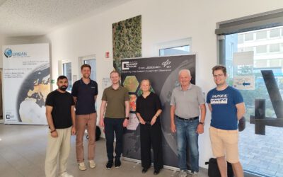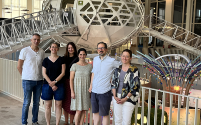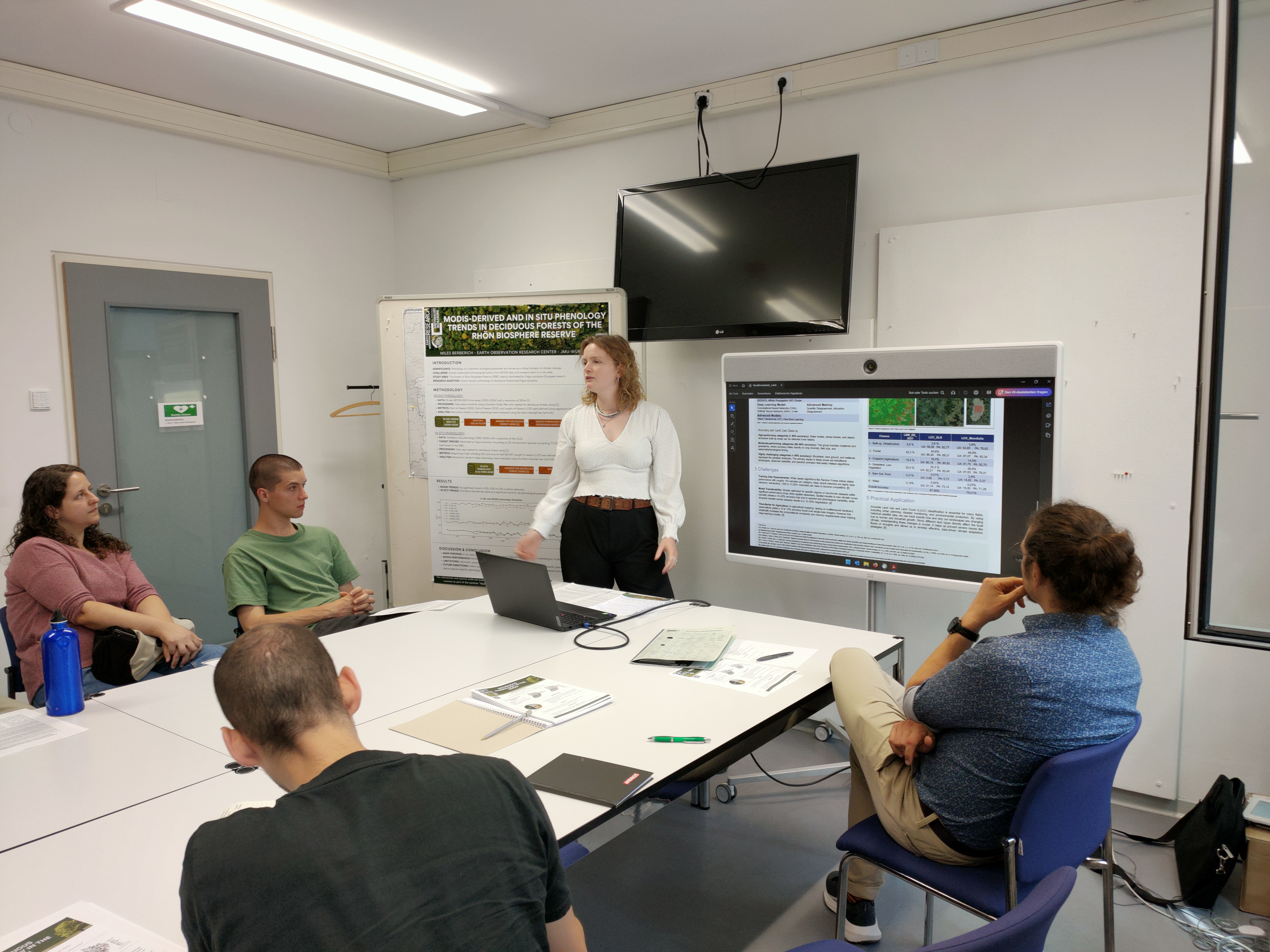

How can Earth observation support sustainable water management in times of climate change? This question was at the center of a recent visit by participants of the EAGLE block course “Linking Science and Practice in Earth Observation for Climate Adaptation” to the Department of Water Management at the Government of Lower Franconia. The visit offered a valuable opportunity to connect scientific approaches with real-world challenges in public administration. As part of the course, led by EORC staff Dr. Julian Fäth and Dr. Sarah Schönbrodt-Stitt, students presented posters showcasing different applications of remote sensing for climate adaptation. The first focused on land use classification as a basis for identifying and planning adaptation measures. The second explored the use of satellite data to analyze the phenology of deciduous forests in the Rhön region. The third demonstrated how remote sensing can be used to detect dried or intermittently flowing streams, an important aspect of hydrological change. The subsequent discussion with representatives of the Government of Lower Franconia focused on current challenges in water management, including groundwater monitoring, declining groundwater levels, and the impacts of climate change on regional water resources. The exchange underlined both the potential and the limitations of remote sensing in supporting environmental decision-making. We sincerely thank the Government of Lower Franconia and the Department of Water Management for their warm welcome, open discussion, and for sharing their practical perspectives.