Update: R spatial handling cheatsheet

Update: R spatial handling cheatsheet

October 5, 2015

RemoteSensing_GIS_spatial_R_cheatsheetWe updated our cheatsheet on spatial data handling in R. Beside some minor changes of common raster commands we also added now some of the new RStoolbox commands within a Remote Sensing operations section such as the command for supervised classification, fractional cover analysis or cloud masking.


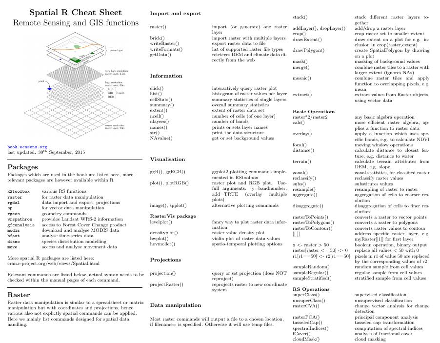
The R spatial data handling cheatsheet has been created to ease the use of relevant R commands and cen be  downloaded as pdf.

you may also like:

Exploring Wetland Ecosystems in the Rhön Biosphere Reserve

Exploring Wetland Ecosystems in the Rhön Biosphere Reserve

As part of our ongoing collaboration with our EOCap4Africa project partners, two members of the EORC (Dr. Insa Otte, Lilly Schell) at the University of Würzburg recently took a field trip to the Rhön Biosphere Reserve with our visiting scientists. We visited two...

Spring Vibes on Our Lunch Break

Spring Vibes on Our Lunch Break

With the first warm days of spring finally arriving, a small fraction of our team already took full advantage of the sunshine during lunch break—gathering outside to soak up the mild weather and enjoy a few well-earned moments of relaxation. Some of us have just...

Terrabyte Workshop at EORC

Terrabyte Workshop at EORC

Tag: Meeting, Workshop Terrabyte Workshop at EORC This week, a two-day terrabyte workshop took place at EORC (Earth Observation Research Cluster), hold by staff members of DLR ( Dr. Jonas Eberle, Julian Zeidler, Peter Zellner). Thanks to many hours of presentations...

Advancing Paleontology Research with Multi-Sensor UAS Data

Advancing Paleontology Research with Multi-Sensor UAS Data

We are excited to share the progress of our recent collaboration with Prof. Martin Sander, focusing on the use of multi-sensor UAS data for paleontology research. This partnership aims to explore innovative approaches to mapping and analyzing fossil sites with high...