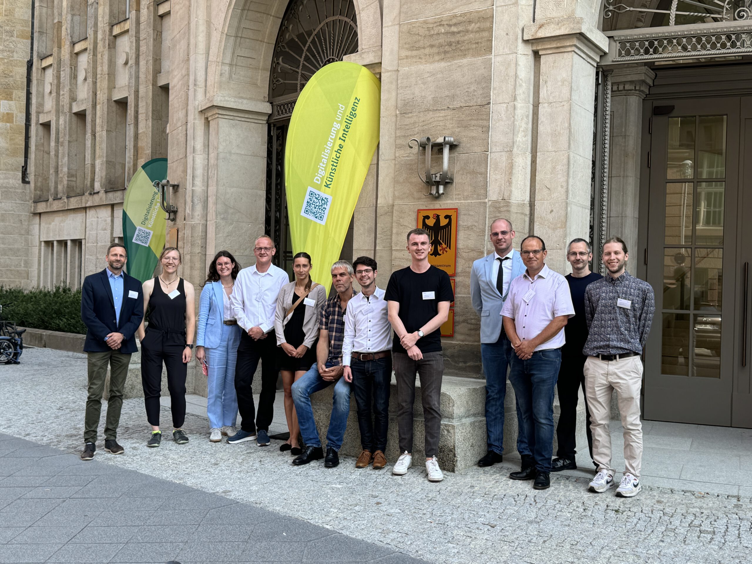
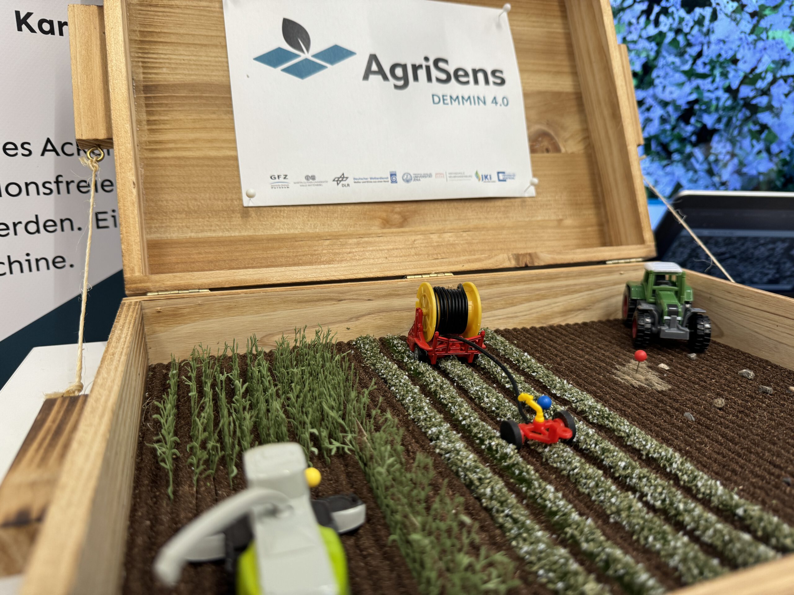
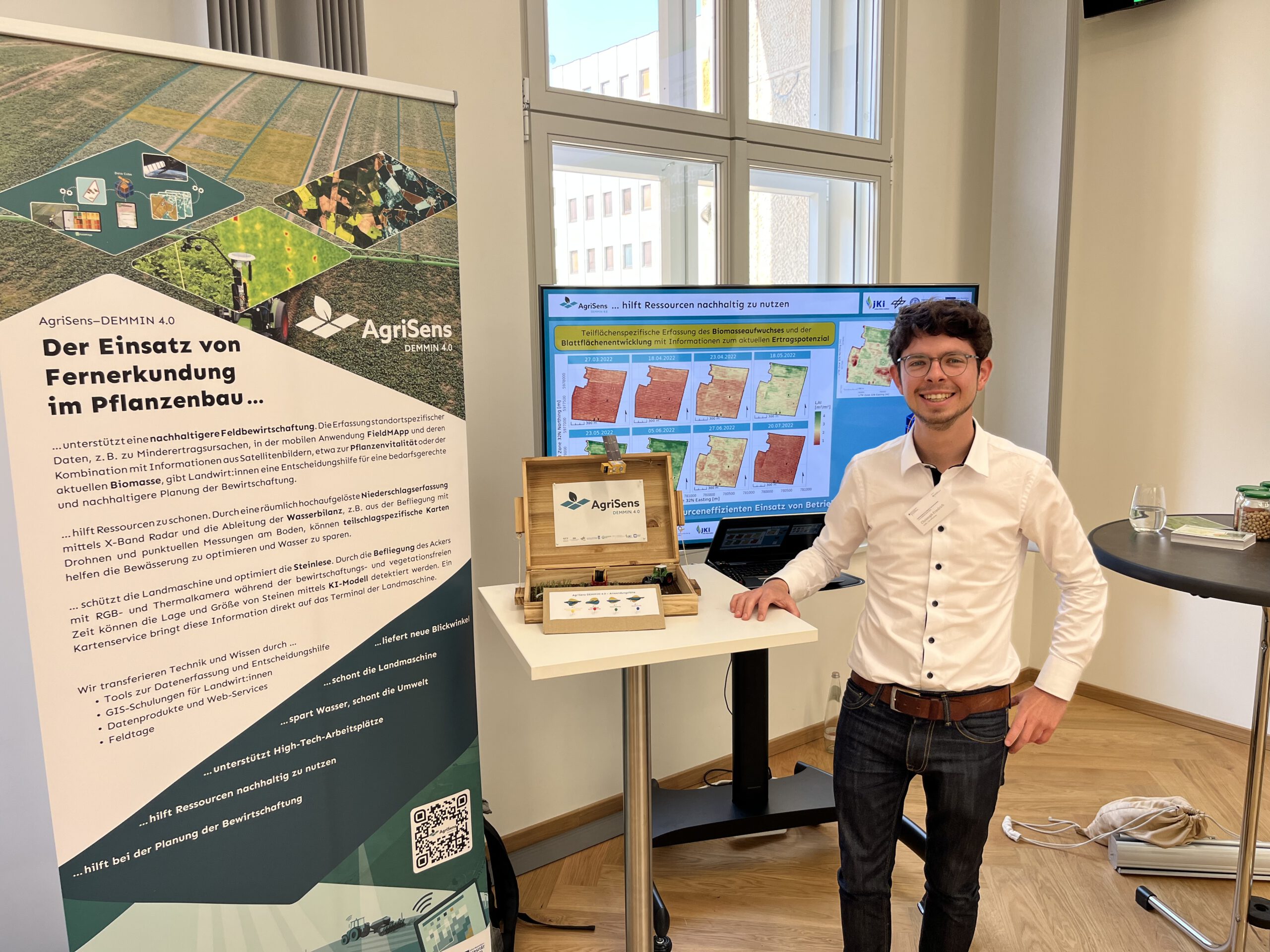
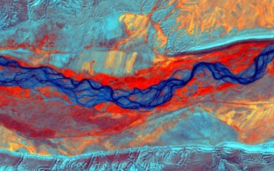
The project “AgriSens DEMMIN 4.0” deals with remote sensing in field crop production and is one of the 14 “experimenting fields” funded by the German Ministry for Agriculture. As the funding period is approaching its end, all 14 projects held a joint conference in Berlin to showcase their results, and of course AgriSens was also proud to display theirs! Our staff member Christoph Friedrich, who took care of the project’s datacube during its second phase, travelled to Berlin to explain everything about satellite data provision, processing and presentation. His luggage also included a self-built miniature model of an agricultural scene that illustrates the four use cases of the project: yield prediction, sustainable cultivation, stone detection, and irrigation (right picture below). One of the visitors to the AgriSens booth was State Secretary Silvia Bender, who was very interested to see the mobile application “FieldMApp” that was developed by the project consortium. It helps farmers to track and manage areas of lower yield in heterogeneous fields and gets much of its data from the EORC-powered datacube, which acts as a central hub for all data products generated in the project. The presentation programme that accompanied the exhibition further included four talks by AgriSens staff, from a general overview to highly in-depth topics such as water balance modelling or the search for field stones with thermal drones. Overall, it was very nice to show intermediate results to stakeholders in practice and politics, but the work doesn’t stop just yet: AgriSens has another half a year in which the work that was done so far will be polished and finalised!
