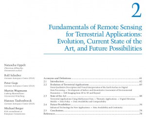
 Our book chapter “Fundamentals of Remote Sensing for Terrestrial Applications: Evolution, Current State of the Art, and Future Possibility” in the book “Remotely Sensed Data Characterization, Classification, and Accuracies” edited by Thenkabail is now available.
From the webpage: “This volume demonstrates the experience, utility, methods, and models used in studying a wide array of remotely sensed data characterization, classification, and accuracies for terrestrial applications. Leading experts on global geographic coverage, study areas, and array of satellite and sensors contribute to this unique handbook. This theoretical as well as highly practical book represents a thorough history of advancement in the field over last 50 years, bringing us to where we are now, and highlighting future possibilities.”
Natascha Oppelt, Rolf Scheiber, Peter Gege, Martin Wegmann, Hannes Taubenboeck, Michael Berger


