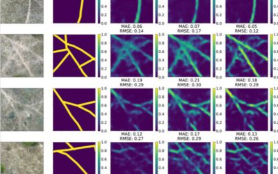
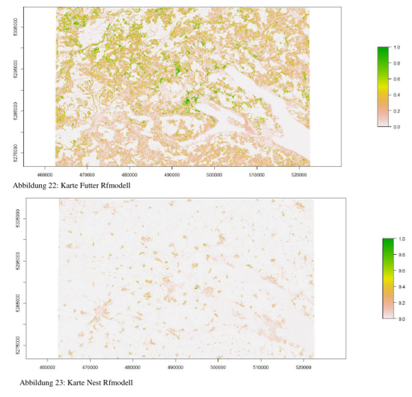
 Leonard Hammer handed in his B.Sc. thesis on “explaining spatial patterns of stork movements using remote sensing data”. He used stork data from the Lake Constance region and applied species distribution models on different behavioral states (nesting, feeding etc.) using Landsat TimeScan data. This data set provides temporal metrics for the last years, such as max, min and variance of the NDVI. Moreover, he tested different model performances and scaling effects and found partly that lower resolution data resulted in more sounds results. He was supervised by R. Remelgado and Dr. Martin Wegmann
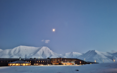
EORC colleagues return to the High Arctic for UAS-Based Earth Observation
Our EORC researchers Dr. Jakob Schwalb-Willmann and Dr. Mirjana Bevanda are once again spending several weeks in the high Arctic as guest lecturers at UNIS, the University Centre in Svalbard. This annual visit has become a valued part of our collaboration, bringing...


