On the second day of the 44th EARSeL Symposium in Prague, the EORC and the DLR contributed again to the programme.
Today, the keynote presentation was given by Hannes Taubenböck. It was titled “Making poverty visible – The successes and failures of remote sensing and other geodata“. “Because some are in the dark. And others are in the light. And you see those in the light. You don’t see the ones in the dark” is a quote from the Mackie Messer’s Moritat from the 1928 play ‘The Threepenny Opera’ by Bertolt Brecht. This quote was just as relevant back then as it is today. Today, however, remote sensing is a data source that helps to bring more light into the darkness. Through the proxy of settlement structures of slums or comparable structures or through night-time light data the gigantic dimension of poverty becomes not only visible in remote sensing data, but also quantifiable. This keynote showed how much light remote sensing in combination with other geodata has shed on the global issue of poverty, where knowledge gaps still exist, what limitations prevent the necessary knowledge gain and where science needs to break new ground.
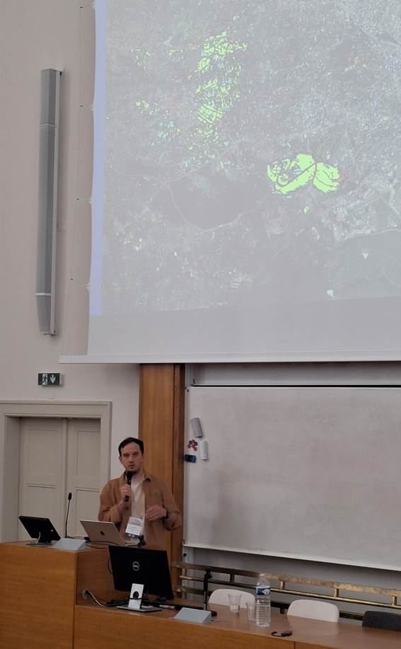
John Friesen moderated a session within the workshop “Global South”. He also presented his work conducted in collaboration with Nicolas J. Kraff, Angela Abascal (Department of Engineering, Public University of Navarra, Spain), Monika Kuffer (ITC Twente) and Hannes Taubenböck. The talk was titled “Shifting Landscapes in Nairobi: Unveiling Slum Dynamics, Growth, and Mobility Patterns Over Time“. In this work, he showed how data from remote sensing allow to outline where poor urban areas are and how dynamic these are over time. And, he showed how in-situ survey data on the frequency of people changing their home reveal insights on the mobility of people in those areas.
Sai Ganesh Veeravalli (Karlstad University, Sweden) presented work which was carried out in collaboration with John Friesen, Stefanos Georganos (Karlstad University, Sweden) and Jan Haas (Karlstad University, Sweden). The presentation was titled “Understanding Informal Settlement Transformation through Google’s 2.5D Dataset and Street View based Validation“. In this work, geospatial data sets have been used to identify four key transformation types in informal settlements: vertical densification, horizontal densification, combined densification (increase in both count and height), and decline.
John Friesen also contributed to the work presented by Stefanos Georganos titled “Towards a Spatial Measure of SDG 11.1.1: Open Data for Urban Deprivation Mapping“. In this work a composite deprivation score was presented to localize poor urban areas.