Contributions to the Joint Urban Remote Sensing Event #1

Contributions to the Joint Urban Remote Sensing Event #1

m

May 17, 2023

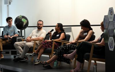
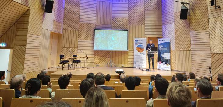
Today was the first day of the Joint Urban Remote Sensing Event (JURSE). This event is committed to introduce innovative methodologies and technological resources recently employed to investigate the manifold aspects of the urban environment through orbital and airborne remote sensing data. The 2023 edition of JURSE takes place in Heraklion in Greece. You can follow the event at http://jurse2023.org/ or at Twitter via #JURSE2023 

The Earth Observation Research Hub and the Earth Observation Center of the German Aerospace Center provided today a lot of contributions. Hannes Taubenböck gave on behalf of the fellow conference chairs Monika Kuffer, Clement Mallet and Devis Tuia a talk in the introductory session on the vision and the history of the JURSE.  


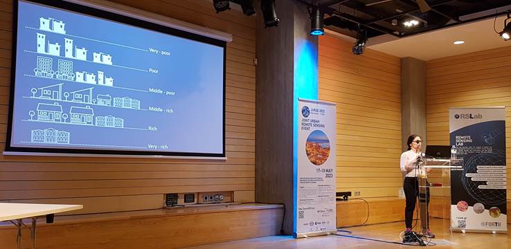
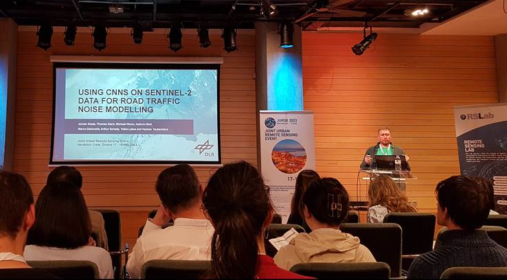
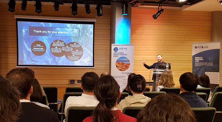
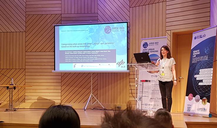
Ines Standfuß gave a presentation titled “Categorizing urban areas into “core”, “fringe” and “periphery” based on the built-up morphology“. Jeroen Staab presented his work in a talk on “Using CNNs on Sentinel-2 data for noise modelling“. Thomas Stark gave a talk on “Detecting challenging urban environments using a few-shot meta-learning approach“. Yrneh Ulloa-Torrealba presented her research work on “Solid waste on the streets and socioeconomic class using remote sensing“. 


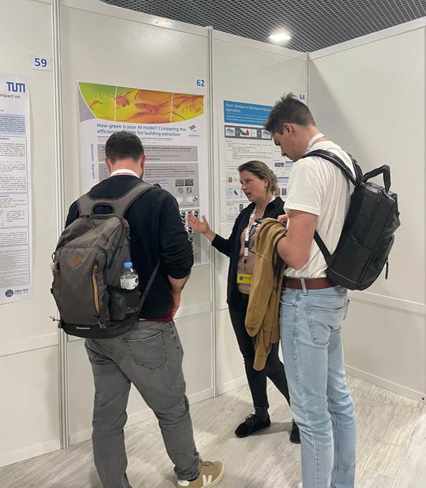
Dorothee Stiller presented a poster titled “Performance, Time, Efficiency: Comparative Analysis of CNNs for Building Extraction“. Johannes Mast presented a poster titled “Linking remote sensing data and online engagement in flood events in Nigeria“.

Hannes Taubenböck presented a poster on “The ‘ghost city’ phenomenon in China: mapping and categorization at intra-urban scale“.  


follow us and share it on:

you may also like:

Ticks from Above: UAS Fieldwork for the MONID Habitrack Project

Ticks from Above: UAS Fieldwork for the MONID Habitrack Project

Forest edges are tricky places. They're where woodland meets open ground, where light and shade trade off every few meters, and where, it turns out, ticks tend to do really well. That last bit is exactly why Dr. Ariane Droin, Sofica Garcia de Leon, Dr. Jakob...

Course on urban EO by Michael Wurm

Course on urban EO by Michael Wurm

Walk through any city and you pick up on things that are hard to put a number on. The noise of a main road, the heat that sits between buildings in summer, the question of whether that little park around the corner is really enough green space for the whole...

EireR R package: unified gateway to Irish geospatial data

EireR R package: unified gateway to Irish geospatial data

Anyone who's tried to do geospatial work across the whole island of Ireland knows the headache. Ireland is one island geographically, but it's split across two jurisdictions, the Republic and Northern Ireland, and each one runs its own data infrastructure. Different...

Impact of agrophotovoltaic facilities – an R package

Impact of agrophotovoltaic facilities – an R package

There's a new R package on the block, and it's solving a problem that sounds simple until you actually try to do it: how do you tell whether putting solar panels over a farm field is good or bad for the soil and the crops around them? Marlene, one of our EAGLE...

Presentation at the Kolloquium of the Technical University of Graz

Presentation at the Kolloquium of the Technical University of Graz

Dr. Ariane Droin presented the works of her PhD-Thesis at the Geo-Kolloquium of the Technical University of Graz with the title "Hochauflösende, skalenübergreifende Modellierung von Nachbarschaftserreichbarkeiten im urbanen Raum" on the 17th of June 2026. She showed...

Share This