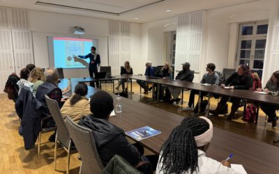
On November 18, 2025, Angie Torres will present her internship at ” Detecting Wildfires in Brandenburg, Germany” at 12:00 in seminar room 3, John-Skilton-Str. 4a.
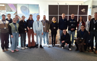
From the abstract: Wildfires have become an increasing concern in Germany, particularly in the region of Brandenburg, where dry summers and extensive pine forests create favourable conditions for fire events. To support ongoing research in this area, the internship was done at the German Aerospace Center (DLR) within the Department of Georisks and Civil Security.
The work focused on monitoring surface wildfires using Sentinel-2 satellite imagery, in combination with governmental statistics and news reports. The main objective was to support a doctoral student in data collection and processing by applying remote sensing and coding techniques to identify small-scale surface. Data was processed in R, QGIS, and Excel, involving manual digitization and pre-processing steps.
The work contributed to testing and refining an algorithm for wildfire detection and helped to strengthen technical skills in coding, GIS, and remote sensing, and provided valuable insights into the research process for environmental risk monitoring.
1st supervisors: Dr. Insa Otte Host: DLR