
Earth Observation for Grassland Biodiversity – Insights from AK Fernerkundung 2026

Earth Observation for Grassland Biodiversity – Insights from AK Fernerkundung 2026

m

October 9, 2026

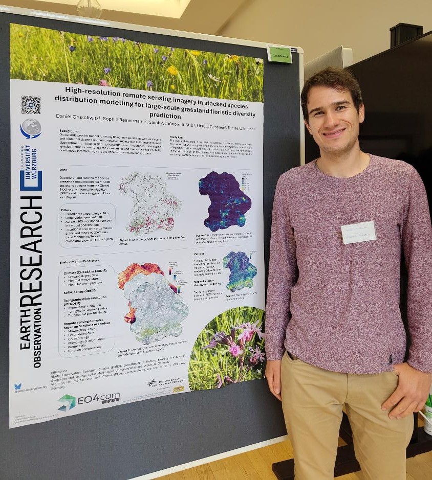
At the 2026 annual meeting of the German Working Group on Remote Sensing (AK Fernerkundung), hosted by the Thünen Institute in Braunschweig, Daniel Gruschwitz from the Earth Observation Research Cluster (EORC) at Julius-Maximilians-Universität Würzburg presented ongoing research on mapping grassland plant diversity across Bavaria.

Species-rich grasslands provide important habitats for flowering plants, insects, and birds, but are increasingly threatened by agricultural intensification and land abandonment. Understanding their spatial distribution and biodiversity is essential for effective conservation and sustainable land management.

The presented research explores how Earth observation and environmental data can contribute to mapping grassland plant species richness across Bavaria. Particular attention is given to the potential of satellite-derived information for improving our understanding of spatial biodiversity patterns and supporting large-scale biodiversity monitoring.

The work highlights the value of combining Earth observation and ecological research to provide spatial information relevant to biodiversity conservation and sustainable grassland management.

The poster, entitled “High-resolution remote sensing imagery in stacked species distribution modelling for large-scale grassland floristic diversity prediction”, was jointly authored by Daniel Gruschwitz (1), Sophie Reinermann (2), Sarah Schönbrodt-Stitt (1), Ursula Gessner (2), and Tobias Ullmann (1).

The research is conducted in collaboration between the (1) Earth Observation Research Cluster (EORC), Julius-Maximilians-Universität Würzburg, and the (2) German Remote Sensing Data Center (DFD), German Aerospace Center (DLR), in the context of the EO4CAM project, funded by the Bavarian State Ministry of Economic Affairs, Regional Development and Energy.

For further information, please visit the AK Fernerkundung 2026 program.


follow us and share it on:

you may also like:

Setting Up for the 2nd EO4CAM Nutzerworkshop

Setting Up for the 2nd EO4CAM Nutzerworkshop

Right now our staff are busy hauling cases, mounting displays and testing every cable for the 2nd EO4CAM Nutzerworkshop, “Erdbeobachtung für die Klimaanpassung, behördliche Akteure in Bayern”. The doors open tomorrow, and the exhibition...

A dashboard for multi-UAS thermal data

A dashboard for multi-UAS thermal data

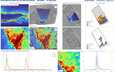
Mapping an active fire with various drones flying in parallel is hard enough. But getting the data processed, evaluated and turned into research datasets is a different story. The publication is on its way, and for now we’d like to share a dashboard by Antonio José...

Have you ever wondered how many trees there are on our campus?

Have you ever wondered how many trees there are on our campus?

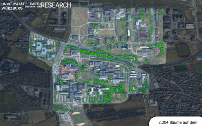
Sometimes a chat during a formal event like the one for the Urban:Pulse funding celebration, results in something totally different. Following a discussion with the vice-president of our University, we promised to look into the research by one of our PhD students...

Earth Observation at the DFG BETAFOR workshop

Earth Observation at the DFG BETAFOR workshop

Jakob Schwalb-Willmann represented our team at the DFG BETAFOR workshop in the Bavarian Forest National Park. The room was full of biologists, which is the whole point of an interdisciplinary project, and our UAS multisensor time series drew a lot of interest from the...

Thermal Drone Data Acquisitions: CalVal project with Informatics

Thermal Drone Data Acquisitions: CalVal project with Informatics

Thermal cameras on drones look very good - visually. They show us temperature of our study objects be it stressed trees, warm patches in a city or active fires. But we do not yet know for sure how far we can trust the temperature values they deliver especially when...

bzgl. Art. 50 Verordnung (EU) 2024/1689 (AI Act):

Überwiegend werden eigene originäre Texte und Bilder des EORC genutzt, jedoch sind einige Inhalte von blog post Texten teilweise mit Hilfe von KI überarbeitet worden und einige Bilder sind ganz mit KI erstellt, die jedoch deutlich keine photorealistische Darstellungen abbilden. Aussnahmen sind KI generierte fernerkundliche Datensätze, die explizit für Forschungszwecke mit KI erstellt wurden, hier wird aber durch den assoziierten Text der wissenschaftliche Grund der KI generierten Bilder erläutert.

Share This