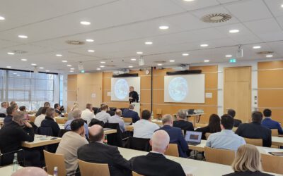
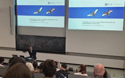
Our EGU session “Mapping, Monitoring & Modelling of Vegetation Characteristics using Earth Observation” got accepted and is now online.
The EGU, the General Assembly of the European Geosciences Union, is held at the Austria Center Vienna (ACV) in Vienna, Austria, from 17–22 April 2016.
Remote sensing, be it in the form of satellite imagery or aerial photography from manned aircrafts or UAVs, has proven its potential as a unique tool for retrieving vegetation properties at the local, the regional and global scales. Over the last decades, a substantial amount of work has been allocated to the retrieval of vegetation characteristics, e.g. mapping of the extent of vegetation cover, monitoring of vegetation condition using the NDVI or other indices, monitoring forest cover trends, monitoring the expansion of bushes in the expense of palatable grasses in the drylands, woody structure modelling and mapping using Synthetic Aperture Radar data, extracting structural vegetation components from LiDAR for biomass estimation, combining hyperspectral and LiDAR data for upscaling vegetation structural information, to mention but a few. Numerous satellite missions are currently being used to quantify such characteristics in a wide range of temporal and spatial resolutions; new missions with improved capacities are constantly becoming available or planned for the near future in an ever-increasing rate. However, the use of remote sensing for mapping, monitoring or modelling vegetation characteristics is clearly not problem-free: quite the contrary. Within this context, we welcome studies that present novel approaches of mapping, monitoring and modelling vegetation characteristics. We endeavour this session to provide the platform for the analysis of the benefits as well as the pitfalls of using aerial photography, UAVs, LiDAR, Radar, hyperspectral or multi-spectral satellite data in this field.
Compton J. Tucker by NASA will be the keynote speaker.
chairs: Elias Symeonakis, Hanna Meyer, Thomas Higginbottom, Martin Wegmann
more details here:
http://meetingorganizer.copernicus.org/EGU2016/session/21860