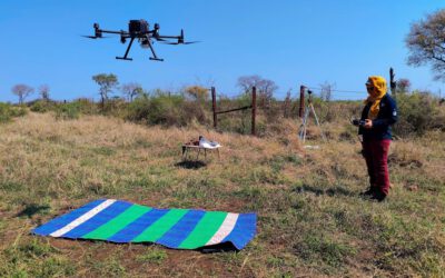
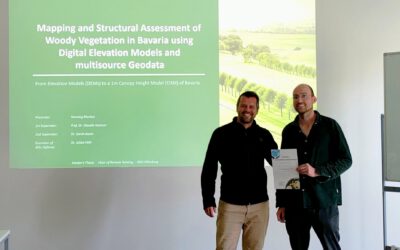
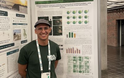
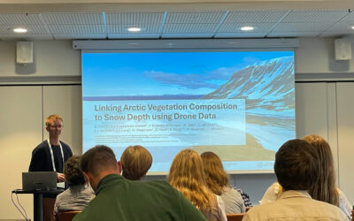
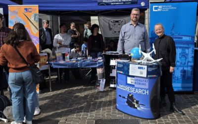
We will be actively participating at InterGeo this September: we’ve got a small booth right next to Wingtra’s exhibition space, over in Hall B6, booth B6E045. Come by and have a look on what we’ve been working on across the EORC especially focused on our UAS earth observation research but not exclusively.
Thenwe will also be at the INTERGEO CONFERENCE – the central platform for the exchange of knowledge and ideas within the geospatial community. On the 16th of September at 3pm, in room C54, Hannes Taubenböck is giving a presentation titled “Die Geographie der Gewalt: Fernerkundung zur Analyse von Flucht, Vertreibung, bewaffneten Konflikten und Kriegen [engl. The Geography of Violence: Remote Sensing for the Analysis of Flight, Displacement, Armed Conflicts and Wars “]. programm.dvw.de/intergeo-agenda/die-geographie-der-gewalt-fernerkundung-zur-analyse-von-flucht-vertreibung-bewaffneten-konflikten-und-kriegen Definitely worth carving out time for if you’re on site that day.
Between the booth and the talk, we’re bringing a pretty wide diversity of what EORC does, both UAS and space borne Earth observation work. We’re talking research and applications that stretch from Africa to the Arctic, from cities to forests to farmland. Biodiversity monitoring, forest management, glaciology, it’s all in there. If you want to see where drone based fieldwork and satellite data are actually taking us right now, this is a good chance to see it in one place.
Hope to see some of you there and looking forward talking to you.
Thenwe will also be at the INTERGEO CONFERENCE – the central platform for the exchange of knowledge and ideas within the geospatial community. On the 16th of September at 3pm, in room C54, Hannes Taubenböck is giving a presentation titled “Die Geographie der Gewalt: Fernerkundung zur Analyse von Flucht, Vertreibung, bewaffneten Konflikten und Kriegen [engl. The Geography of Violence: Remote Sensing for the Analysis of Flight, Displacement, Armed Conflicts and Wars “]. programm.dvw.de/intergeo-agenda/die-geographie-der-gewalt-fernerkundung-zur-analyse-von-flucht-vertreibung-bewaffneten-konflikten-und-kriegen Definitely worth carving out time for if you’re on site that day.
Between the booth and the talk, we’re bringing a pretty wide diversity of what EORC does, both UAS and space borne Earth observation work. We’re talking research and applications that stretch from Africa to the Arctic, from cities to forests to farmland. Biodiversity monitoring, forest management, glaciology, it’s all in there. If you want to see where drone based fieldwork and satellite data are actually taking us right now, this is a good chance to see it in one place.
Hope to see some of you there and looking forward talking to you.