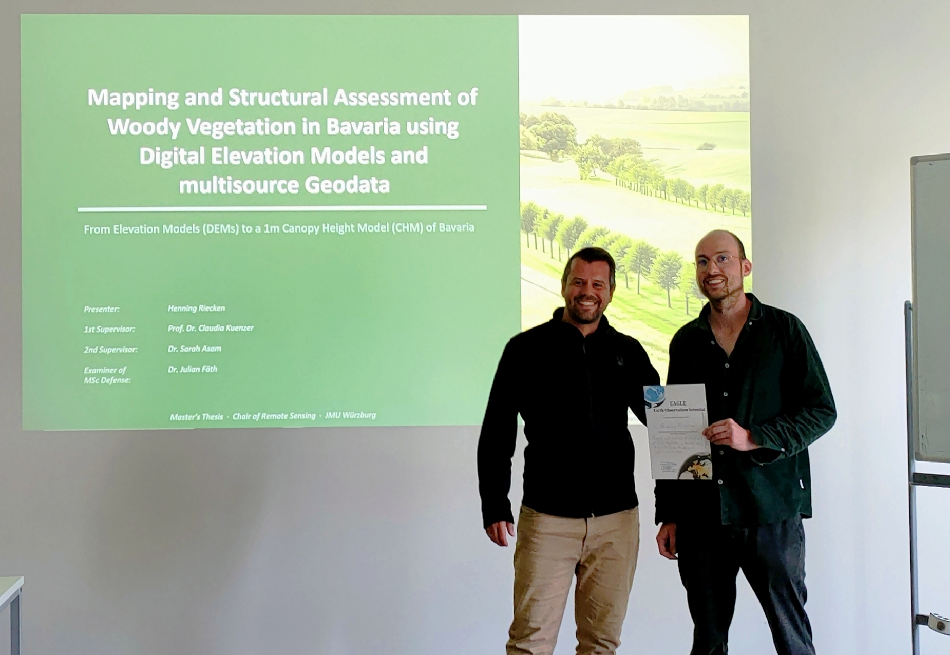

Congratulations to Henning Riecken, who successfully defended his MSc thesis on September 28, 2026:
“Mapping and Structural Assessment of Woody Vegetation in Bavaria Using Digital Elevation Models and Multisource Geodata”
Henning’s thesis explores how newly available high-resolution geodata can be used to map woody vegetation across the entire State of Bavaria. By combining an image-based normalized Digital Surface Model with spectral indices and additional geodata, he developed a transparent and reproducible rule-based workflow for deriving a Woody Vegetation Height Model at 1 m spatial resolution.
A particular strength of the approach is that it maps woody vegetation independently of land-use classes. In addition to forests, it therefore captures trees and woody structures outside forests, including hedgerows, riparian vegetation, orchards, and other small woody features that are often not represented comprehensively in conventional forest datasets.
The resulting dataset provides detailed information on the spatial distribution and height structure of woody vegetation throughout Bavaria and demonstrates the potential of combining openly available elevation and multisource geodata for large-scale vegetation monitoring.
The thesis was supervised by Prof. Dr. Claudia Kuenzer and Dr. Sarah Asam from DLR. The defense was examined by Dr. Julian Fäth.
Congratulations, Henning, on the successful defense and a great piece of work!