
At the EORC, curiosity is more than a mindset — it’s a working principle. Our lecturers and researchers are constantly exploring new spatial methods, analytical approaches, and emerging software tools to push the boundaries of how we work with spatial data. From established programming languages like R and Python to emerging frameworks such as GeoJulia or DataCubes, we continuously monitor developments within the scientific community to ensure our methods remain state of the art.
But staying up to date is not only about reading papers or following release notes. True understanding comes from practice.
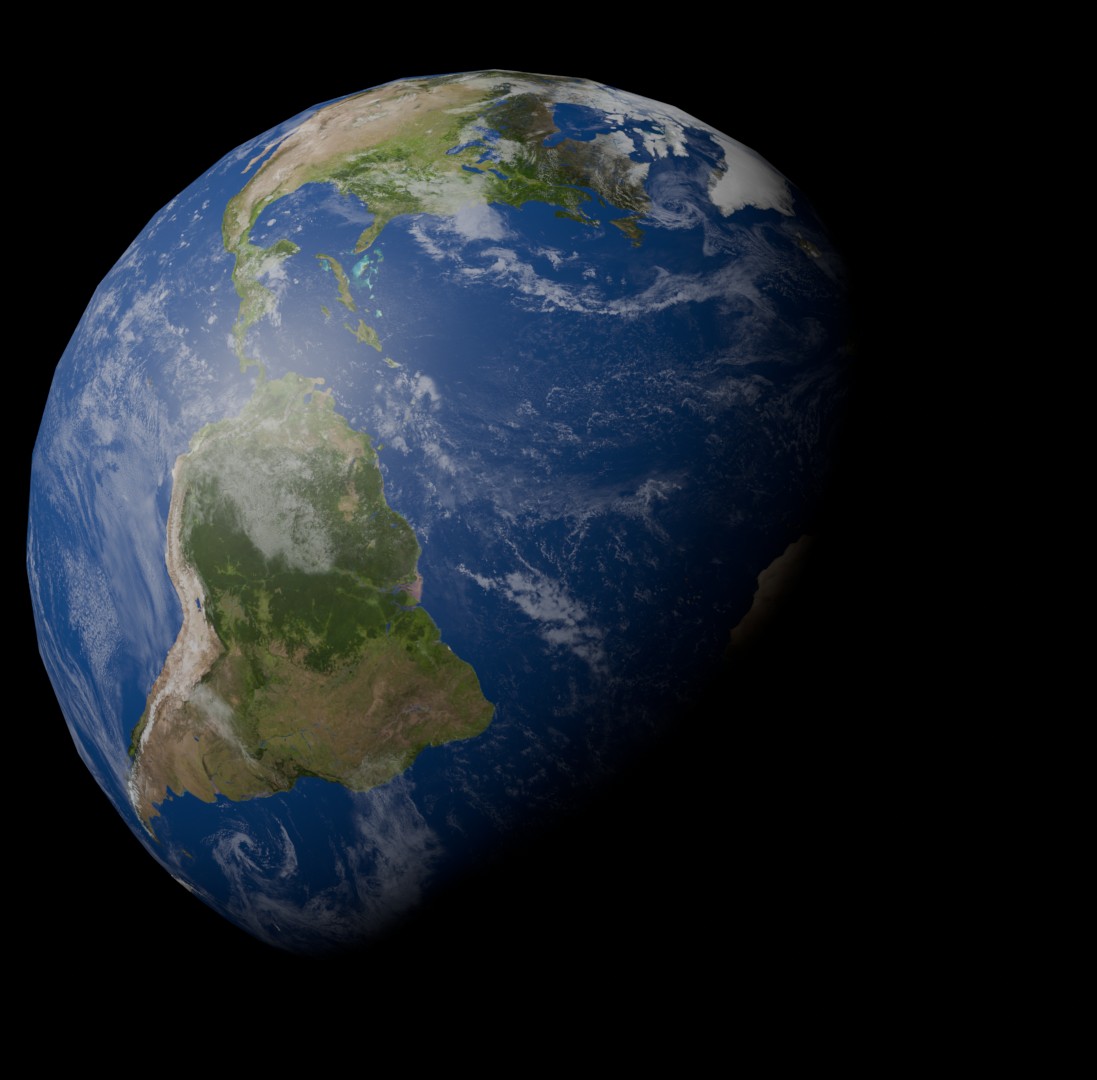
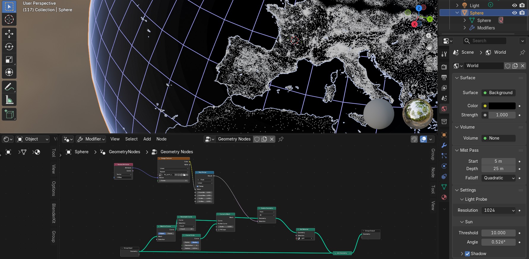
A great example of this hands-on approach is our recent exploration of Blender as a tool for spatial data visualization. Traditionally known for 3D animation and design, Blender opens exciting new possibilities for displaying spatial data in immersive and visually compelling ways. Learning a new software like Blender, however, is not something that happens overnight. It requires time, patience, and — perhaps most importantly — the willingness to experiment.
Small projects play a key role in this learning process. By pursuing a focused idea and working through real-world challenges, errors, and limitations, our lecturers and researchers gain a much deeper understanding of both the software and the underlying spatial data. Each obstacle becomes an opportunity: to refine workflows, improve visual outputs, and discover creative solutions that might not emerge in a purely theoretical setting.
This philosophy is central to both science and teaching. Continuous learning ensures that our research remains innovative, while our teaching stays relevant and inspiring. As our lecturers and researchers expand their skill sets, this knowledge flows directly into the classroom — empowering students to develop strong competencies in spatial data handling, analysis, and visualization.
At EORC, learning never stops. By actively experimenting with new tools, coding environments, and visualization techniques, we not only advance our own research but also cultivate a dynamic educational environment. One small project at a time, we build the expertise that allows us — and our students — to explore spatial data in new and exciting dimensions.