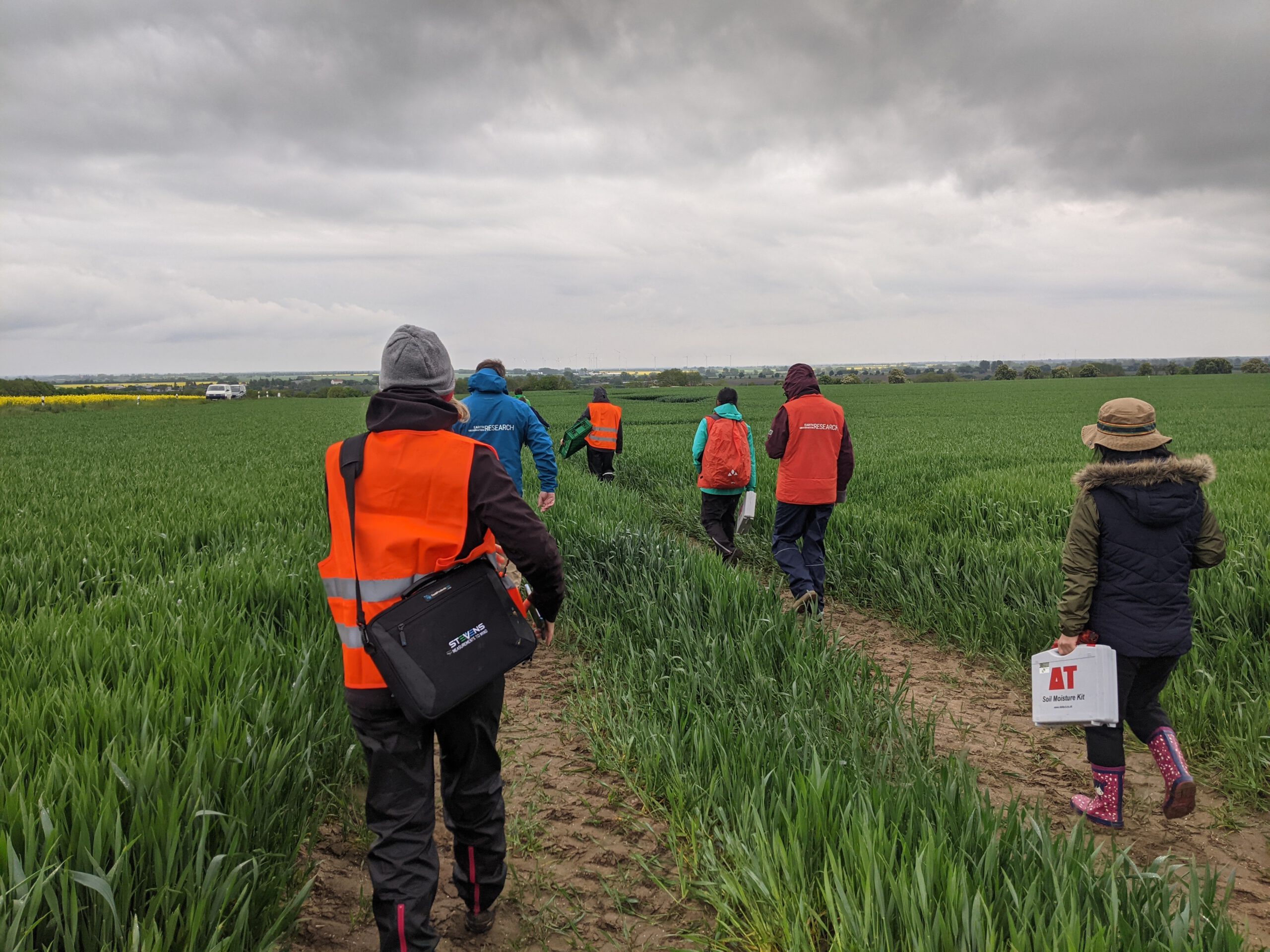
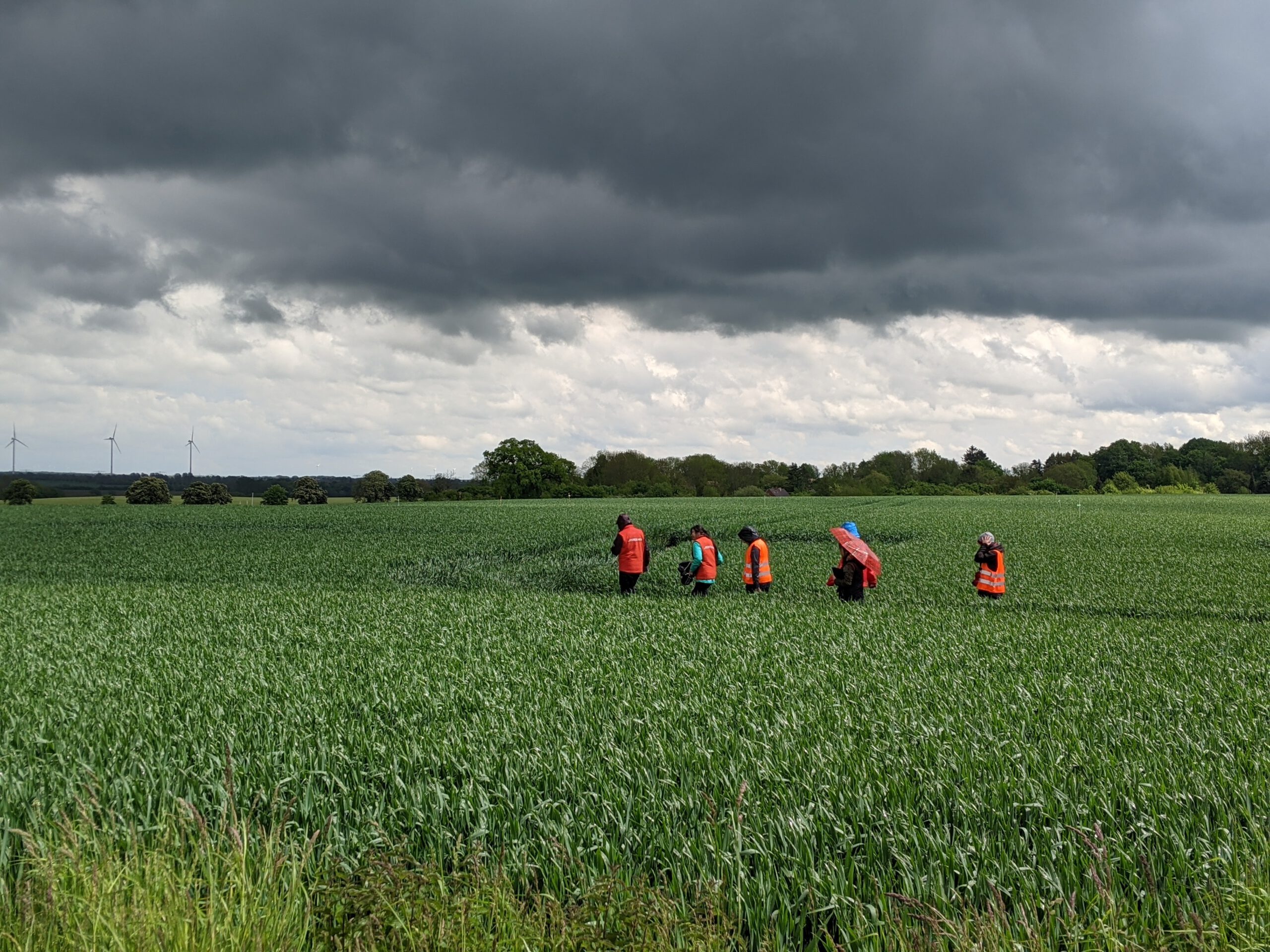
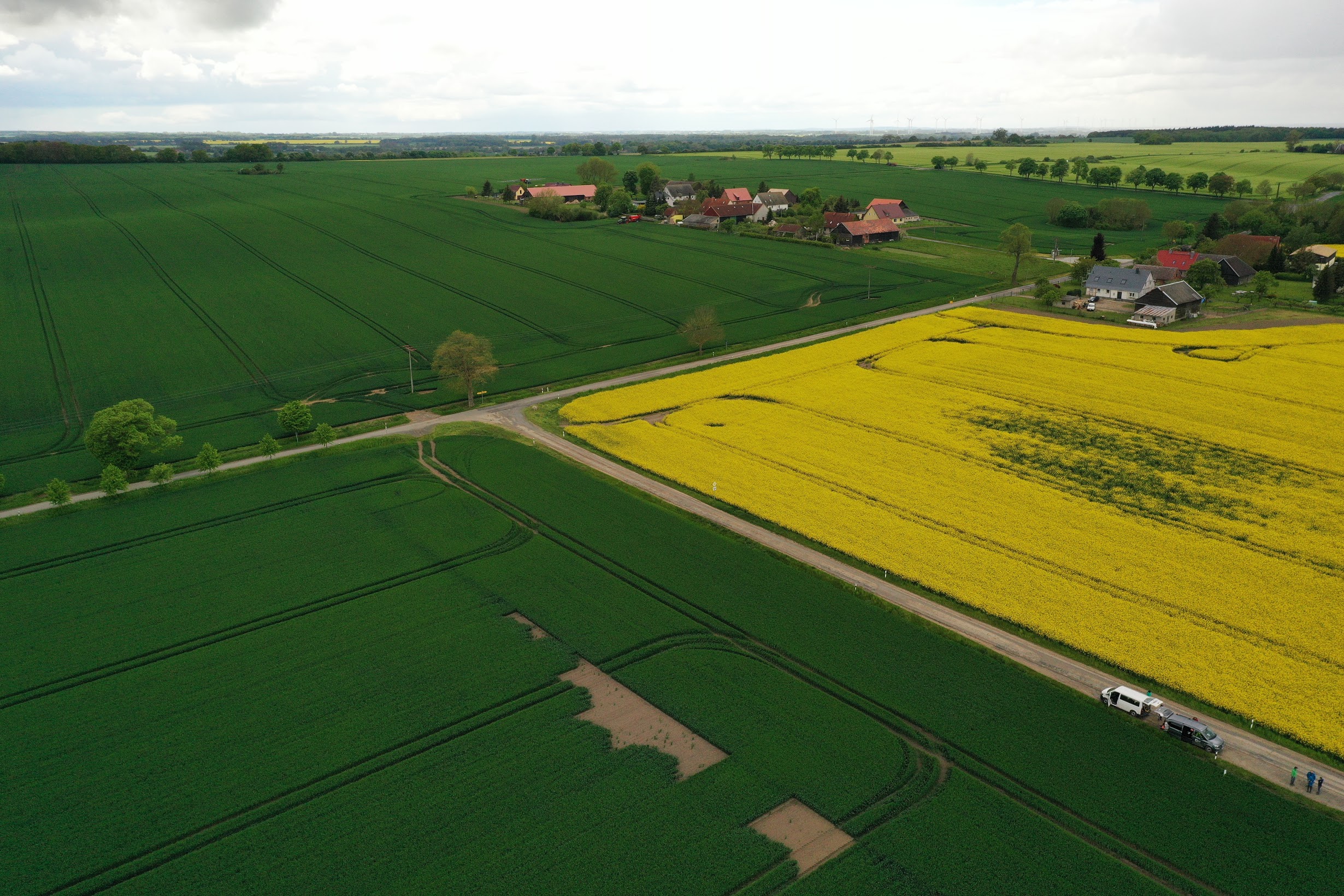
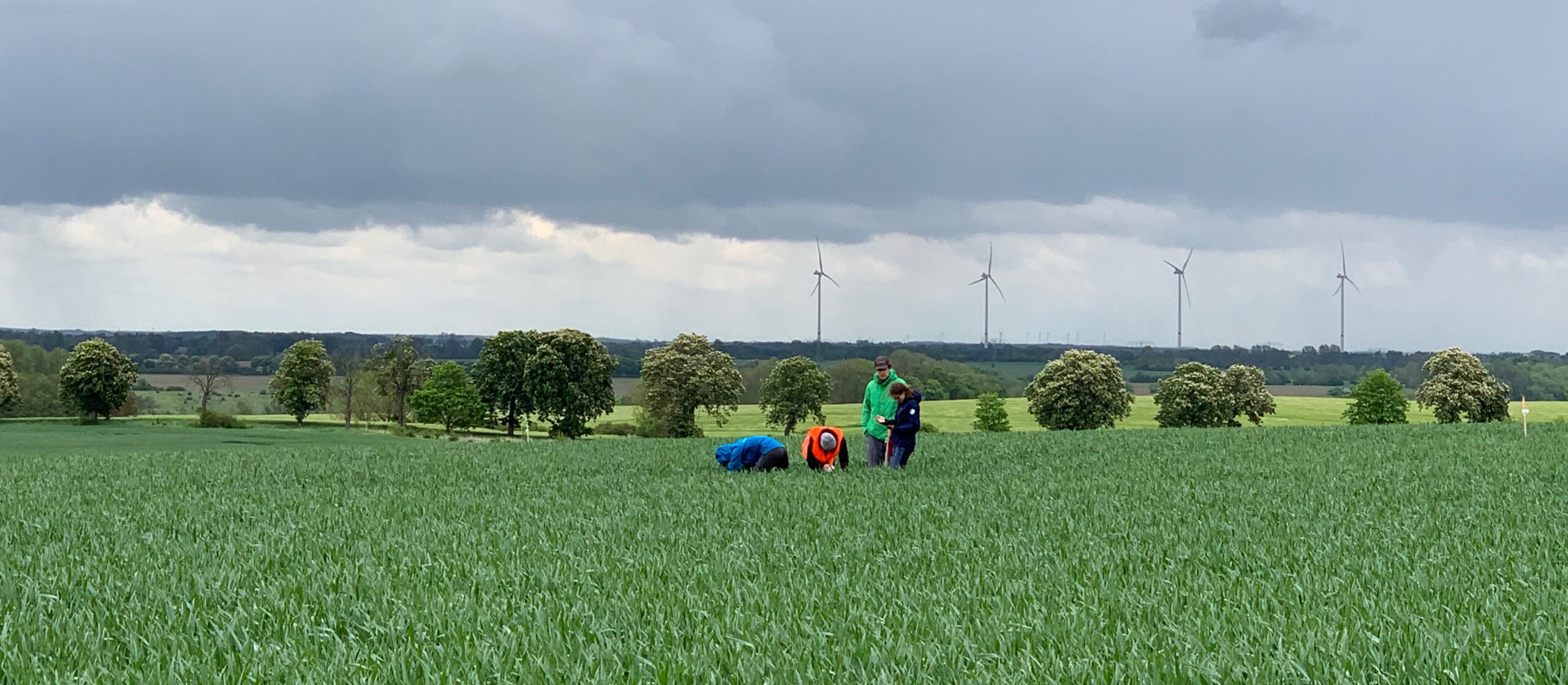
Last week the EAGLE students ventured out for a field campaign at the Durable Environmental Multidisciplinary Monitoring Information Network (DEMMIN) test site to support us in the field work for the AgriSens DEMMIN 4.0 project funded by the Federal Ministry of Food and Agriculture (FKZ: 28DE114D18). The site is located near the city of Demmin in Mecklenburg-Western Pomerania, and intensively used for agriculture. EAGLEs had a closer look at the landscape formed during the Weichsel glaciation over 11,600 years ago. In particular, students conducted vegetation and soil property surveys on the winter wheat fields despite challenging weather conditions.
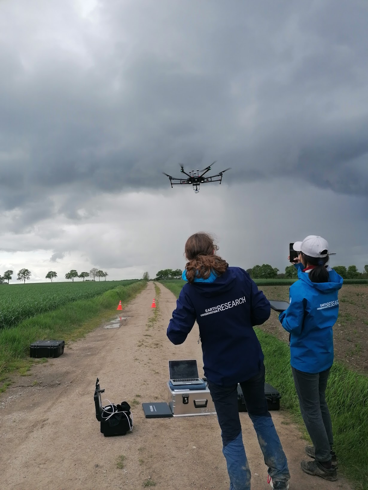
In return to their support, they learned how to collect in-situ data with a variety of devices under the supervision of Johannes Löw who got seconded by Dr. Michael Thiel. In the context of agricultural applications for remote sensing, the relevance of phenological cycle, soil moisture, and biomass were extensively discussed. In addition, our UAV was used to collect high-resolution images with its multispectral sensor. EAGLEs have gained a valuable perspective on field information and planning in the scope of earth observation.
