
First Call for Papers for the Joint Urban Remote Sensing Event – JURSE 2025

First Call for Papers for the Joint Urban Remote Sensing Event – JURSE 2025

m

April 24, 2024

First Call for Papers for the Joint Urban Remote Sensing Event – JURSE 2025


JURSE 2025, the 17th International Conference on Joint Urban Remote Sensing, organized by Higher School of Communication of Tunis (SUP’COM), invites to explore the future of sustainable development. Marking the first JURSE conference held in Africa, this event brings together leading researchers, practitioners, and policymakers from around the world to exchange ideas, showcase groundbreaking advancements, and navigate the challenges facing our cities.


JURSE 2025 focuses on exploring innovative applications of Joint Urban Remote Sensing and Earth Observation in building resilient and thriving urban centers. The conference delves into cutting-edge research and explores how these technologies can contribute to achieving the UN Sustainable Development Goals (SDGs).


Our Earth Observation Research Cluster (EORC) as well as the Earth Observation Center (EOC) of DLR have contributed to this conference for a long time – with papers, presentations as well as organization. Together with Prof. Kuffer from ITC Enschede, Dr. Stokes from NASA, Dr. Clement Mallet from IGN our professor Hannes Taubenböck is chair of this conference.


Please find more details here: https://2025.ieee-jurse.org/


follow us and share it on:

you may also like:

Help Us Understand Ticks: Join the MONID HABITRACK Study

Help Us Understand Ticks: Join the MONID HABITRACK Study

Lyme borreliosis and tick-borne encephalitis (TBE) are the most common tick-borne diseases in Germany, and they are becoming more relevant. Many infections go unnoticed because they cause mild symptoms or none at all. The MONID HABITRACK project, funded by the BMFTR,...

Setting Up for the 2nd EO4CAM Nutzerworkshop

Setting Up for the 2nd EO4CAM Nutzerworkshop

Right now our staff are busy hauling cases, mounting displays and testing every cable for the 2nd EO4CAM Nutzerworkshop, “Erdbeobachtung für die Klimaanpassung, behördliche Akteure in Bayern”. The doors open tomorrow, and the exhibition...

A dashboard for multi-UAS thermal data

A dashboard for multi-UAS thermal data

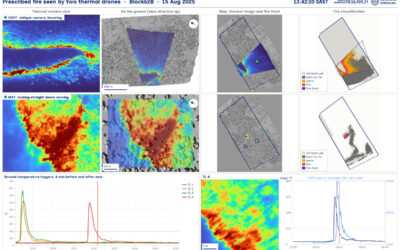
Mapping an active fire with various drones flying in parallel is hard enough. But getting the data processed, evaluated and turned into research datasets is a different story. The publication is on its way, and for now we’d like to share a dashboard by Antonio José...

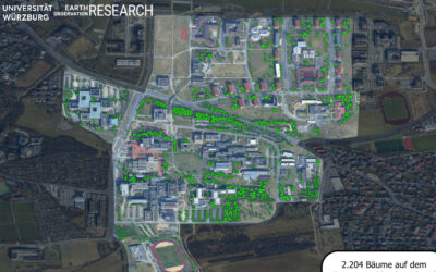
Have you ever wondered how many trees there are on our campus?

Have you ever wondered how many trees there are on our campus?

Sometimes a chat during a formal event like the one for the Urban:Pulse funding celebration, results in something totally different. Following a discussion with the vice-president of our University, we promised to look into the research by one of our PhD students...

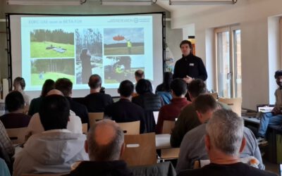
Earth Observation at the DFG BETAFOR workshop

Earth Observation at the DFG BETAFOR workshop

Jakob Schwalb-Willmann represented our team at the DFG BETAFOR workshop in the Bavarian Forest National Park. The room was full of biologists, which is the whole point of an interdisciplinary project, and our UAS multisensor time series drew a lot of interest from the...

bzgl. Art. 50 Verordnung (EU) 2024/1689 (AI Act):

Überwiegend werden eigene originäre Texte und Bilder des EORC genutzt, jedoch sind einige Inhalte von blog post Texten teilweise mit Hilfe von KI überarbeitet worden und einige Bilder sind ganz mit KI erstellt, die jedoch deutlich keine photorealistische Darstellungen abbilden. Aussnahmen sind KI generierte fernerkundliche Datensätze, die explizit für Forschungszwecke mit KI erstellt wurden, hier wird aber durch den assoziierten Text der wissenschaftliche Grund der KI generierten Bilder erläutert.

Share This