Geospatial Analytics Training Course in Rwanda

Geospatial Analytics Training Course in Rwanda

April 11, 2022

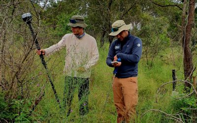
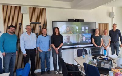
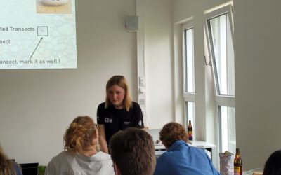
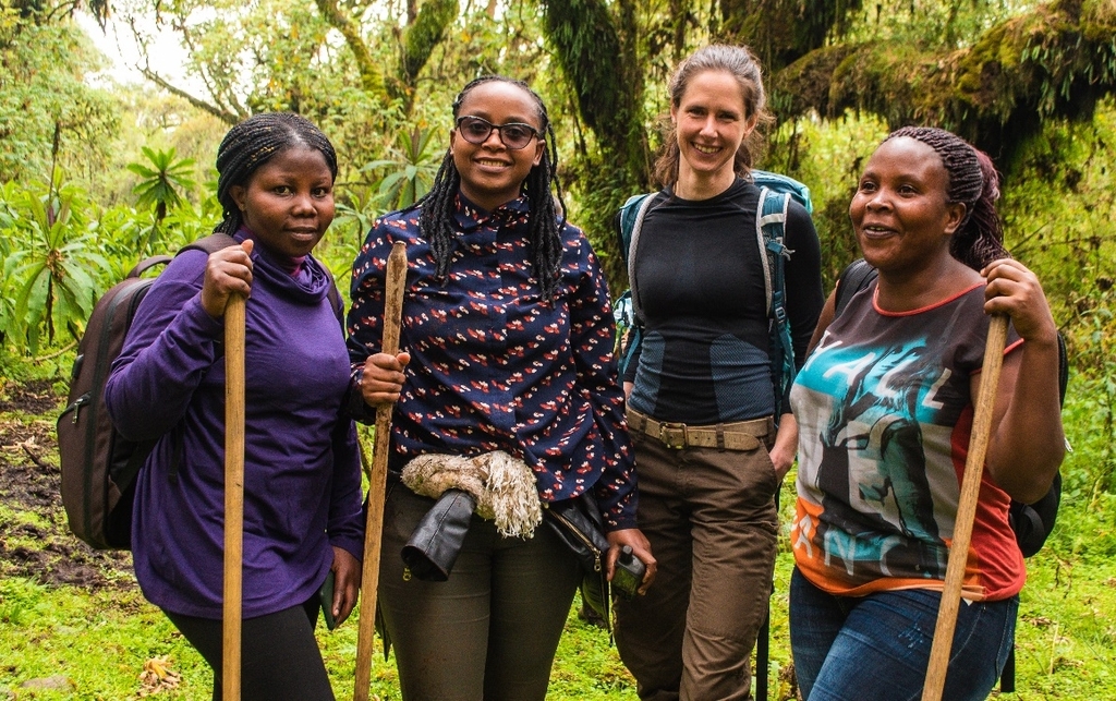
A 4-days geospatial analytics training course was held at the Ellen DeGeneres Campus in Kinigi, Musanze district, Rwanda from 15th-18th March. The training was designed in close collaboration with Beth Kaplin from the Center of Excellence in Biodiversity and Natural Resource Management at University of Rwanda and two members from GIS and Geodata4Africa. Steven Hill and Insa Otte were two of the main trainers. The course targeted 20 highly motivated practitioners in conservation-related fields with basic knowledge in geospatial analysis and had a strong focus on capacity building by integrating a training for future trainers. The successful training at the impressively equipped and beautiful located campus comprised the full process of designing and implementing satellite-based monitoring approaches in the context of global change. This also included a full excursion day of field work within the Virunga Massif, which is home to the endangered mountain gorillas.

you may also like:

EORC at the GfÖ Annual Symposium 2025 in Würzburg

EORC at the GfÖ Annual Symposium 2025 in Würzburg

Last week, EORC staff co-organized and partizipated in the Ecological Society of Germany, Austria and Switzerland (GfÖ) Annual Symposium 2025, this year hosted at University of Würzburg. The symposium, attended by more than 600 people, covered a wide range of topics...

New study on the conservation of biodiversity in West Africa

New study on the conservation of biodiversity in West Africa

A new study by our team, led by Insa Otte, on the conflict between biodiversity conservation in protected areas and agricultural development in West Africa has been published in the journal Natur und Landschaft. The abstract: According to the Human Development Report...

New study on invasive species in Rwanda

New study on invasive species in Rwanda

A new publication by EORC members Lilly Schell, Insa Otte, Sarah Schönbrodt-Stitt and Konstantin Müller, was just published   in the Journal Frontiers in Plant Science. Their study, “Synergistic use of satellite, legacy, and in situ data to predict spatio-temporal...

Poster Presentations at the GfÖ-Conference in Würzburg

Poster Presentations at the GfÖ-Conference in Würzburg

Being part of the organizers of this year's GfÖ-Conference in Würzburg our staff members Sonja Maas, Jakob Schwalb-Willmann and Maninder Singh Dhillon were happy to present the posters on their research topics today. The annual meeting of the GfÖ (Society for Ecology)...

Bridging Scales: How Radar Satellites supports Crop Monitoring

Bridging Scales: How Radar Satellites supports Crop Monitoring

In an era of climate uncertainty and increasing pressure on agricultural systems, understanding how crops grow and respond to environmental stress is more important than ever. A new study led by researchers from Martin-Luther-University Halle-Wittenberg, in close...