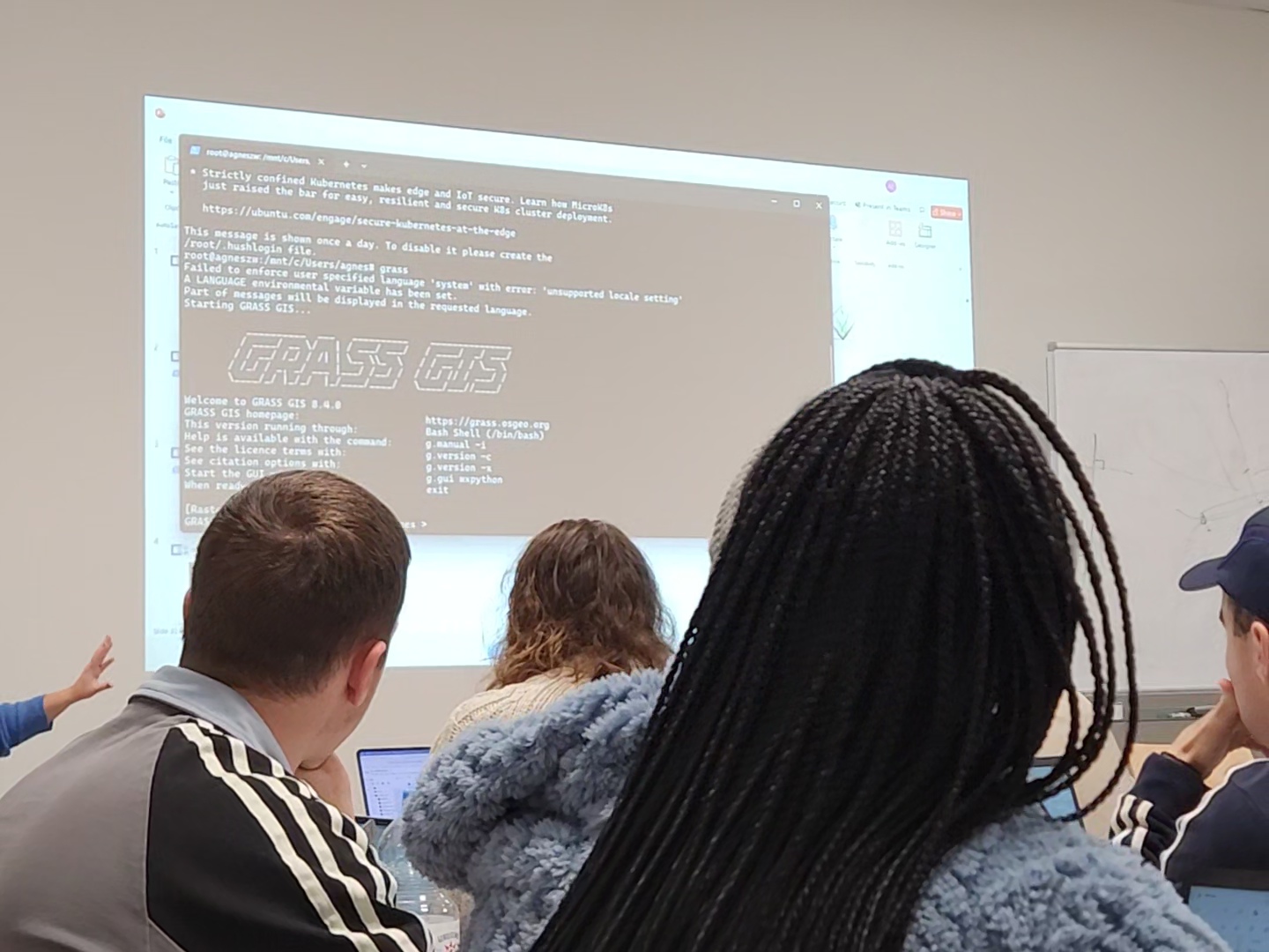
Recently, we focused on time-series analysis using GRASS GIS, highlighting its unique features and scientific capabilities. In the upcoming sessions, we will explore additional tools, including OTB, Whitebox, and SAGA, further broadening our students’ technical expertise and versatility.
EOCap4Africa Training in Kinshasa
This week, 14 students are attending a test run of our Remote Sensing module on Remote Sensing for Biodiversity Conservation at the University of Kinshasa. This module is part of the EOCap4Africa project (funded by the Federal Agency for Nature Conservation, lead Dr....


