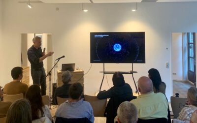
On Monday the 20th of April 2026, we welcomed Dr Felicitas Sommer and Hope Ewudor from the Technical University of Munich at DLR in Oberpfaffenhofen.
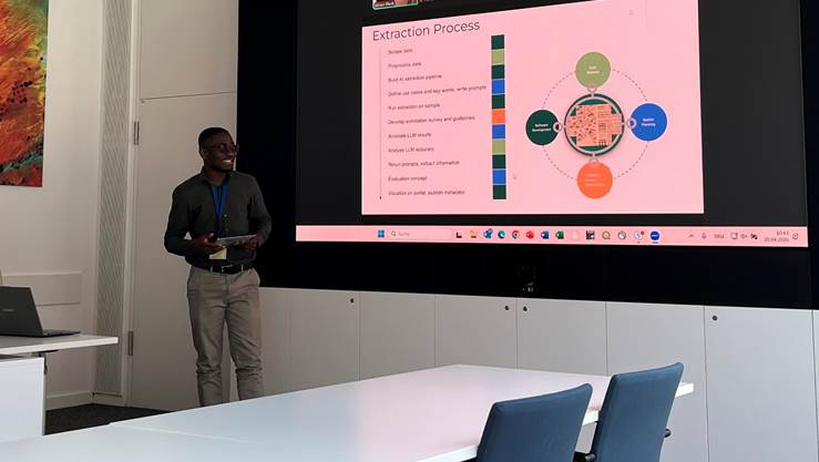
At our GZS-seminar series, they gave an inspiring guest lecture titled “Building a spatial regulatory information dataset: an interdisciplinary approach to extracting and validating structured data from historic binding land-use plans in Germany “.
Here is the Abstract of the lecture: Urban land-use planning shapes urban and peri-urban settlement development by translating higher-level planning goals into parcel-level regulations in textual and graphical form. Urban land-use plans determine permitted building uses, land coverage, building dimensions and form, as well as site features such as trees, cisterns, and other built or green elements. They balance development rights of property owners with environmental and social concerns, like climate adaptation or pollution reduction. Yet most historic binding land-use plans in Germany remain only partly digitized, inconsistently formatted, and difficult to use for analysis. To enable structured, machine-readable and FAIR planning data, we propose an interdisciplinary human-in-the-loop workflow for selecting relevant metrics, extracting regulatory instances with large language models, and validating the results with planning experts. We will also discuss how public governance data can be linked with environmental and earth-information datasets to support regional planning, infrastructure assessment, climate resilience analysis.
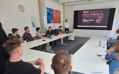
In their return visit (we have reported on the discussions for collaboration https://remote-sensing.org/dr-felicitas-sommer-and-hope-ewudor-from-the-technical-university-of-munich-visit-the-dlr-in-oberpfaffenhofen/ ), further future collaborations, e.g. within our EO4Cam project, were discussed.