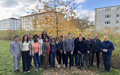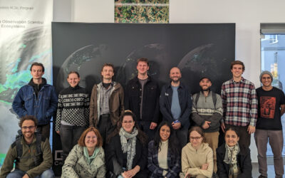

Sometimes a chat during a formal event like the one for the Urban:Pulse funding celebration, results in something totally different. Following a discussion with the vice-president of our University, we promised to look into the research by one of our PhD students concerning a tree count within our campus using remote sensing. And of course we did it right the day after.
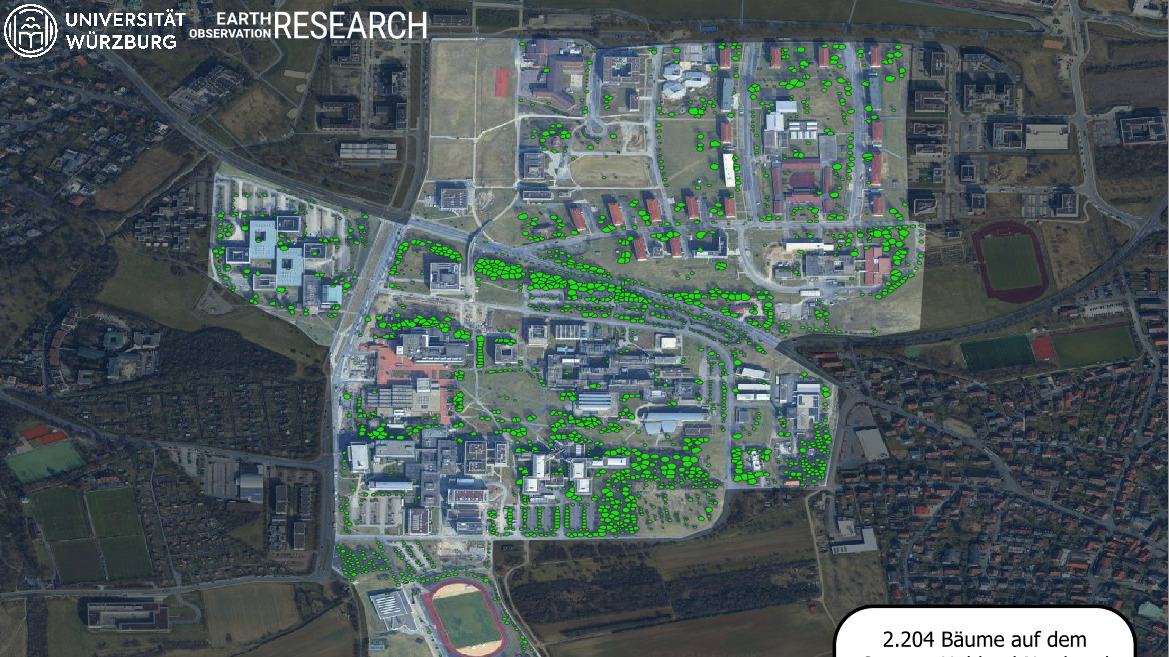
Andrea Sofía García de León, who is currently doing her PhD at the EORC with Hannes Taubenböck, has tested a tree detection and segmentation algorithm based on Leichtle et al. (2021). Individual trees were detected using local maximum filtering, and their crowns were delineated using marker-controlled watershed segmentation. The analysis was based on aerial imagery and the digital surface model available through the Open Data Portal of the Bavarian Surveying Authority.
On a first test, we found more than 2000 trees. We look forward to validating the results to see how well our algorithm performed. And of course we are happy to help the sustainable campus initiative by our vice president with the number of trees.
Leichtle, T., Zehner, M., Kühnl, M., Martin, K., Taubenböck, H., 2021. Urban Trees – Detection, Delineation, Quantification, and Characterisation based on VHR Remote Sensing, in: REAL CORP 2021: CITIES 20.50. Creating Habitats for the 3rd Millennium: Smart – Sustainable – Climate Neutral. Presented at the 26th International Conference on Urban Planning, Regional Development and Information Society, Vienna, Austria.