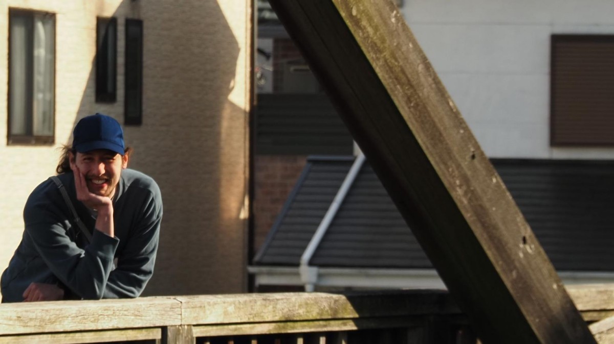

How are we shaping our cities and in turn, how are cities shaping us? This is the question at the core of the work of our lecturer Henri Debray.
As a postdoctoral researcher at the Earth Observation Research Cluster (EORC), he uses remote-sensing-derived geospatial data and advanced computational methods to investigate urban morphology at a global scale. His work connects remote sensing with urban geography, exploring what the physical structure of cities can tell us about the societies that build and inhabit them.
In the EAGLE M.Sc. program, Henri brings this combination of urban geography, remote sensing and computational analysis into the classroom. Since 2021 he has been involved in teaching multiple classes, including our introductory and advanced classes on Spatial Python as well as a class on Urban Forms & Society, helping students understand how programming, geospatial data and Earth observation can be combined to investigate spatially complex systems. And among them: cities. His teaching connects methodological skills with real-world questions, from how cities are organized locally to what patterns urbanization follows on a global scale.
For Henri, remote sensing is much more than observing cities from above. It is a tool to understand the spatial structures of human societies, how these structures evolve across the planet and how this influences us all.