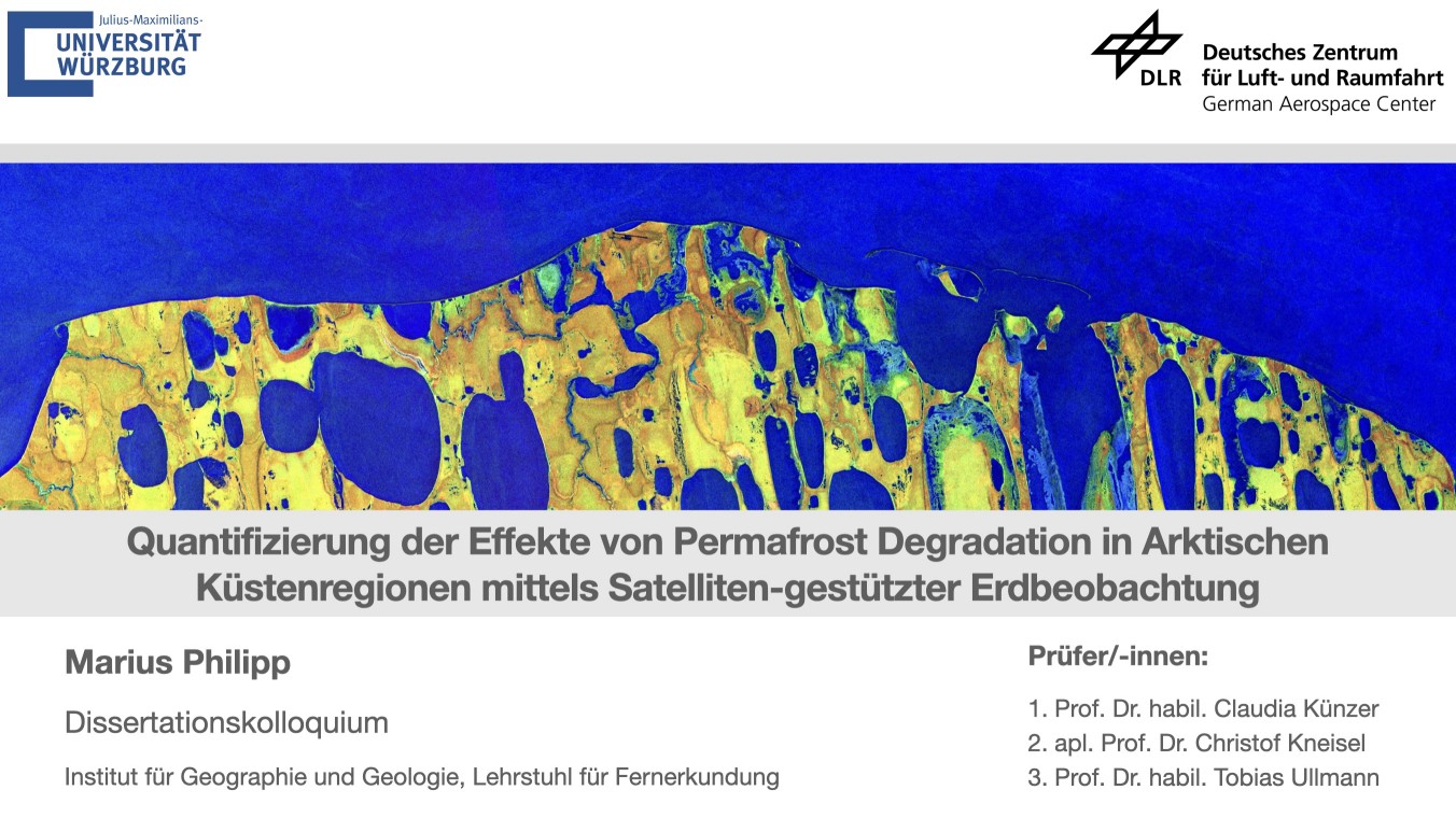
From his abstract: “Roughly one quarter of exposed land on the Northern Hemisphere and more than 65% of terrestrial area above 60°N are underlain by permafrost. Permafrost, defined as ground material which remains frozen for at least two consecutive years, stores around 1460–1600 billion tonnes of organic carbon, roughly twice the amount of carbon in the atmosphere. The climate change driven degradation of permafrost has major implications for the environment and could potentially turn frozen ground from a carbon sink to a carbon source that consequently could cause trillions of dollars in global economic damage. A widespread process and linked to the degradation of permafrost is Arctic coastal erosion. Roughly 30–34% of coastlines on the Earth are affected by permafrost. Erosion processes of permafrost-coasts cause a release of carbon to the oceans, alter fish and wildlife habitats, force changes in the Arctic ecosystem and endanger human settlements and infrastructure. In order to fully assess the implications of eroding permafrost-coastlines, a continuous quantification of the erosion rates, the associated loss of permafrost and the stored carbon is required at high spatial resolution for the entire Arctic. This thesis presents a novel approach for the automated mapping of annual Arctic coastal erosion rates based on Sentinel-1 SAR scenes. The method employs deep learning and Change Vector Analyses (CVA). The proposed data and methods were tested on ten test sites across the Arctic covering about 1830 km of Arctic coastline. The final application on a circum-Arctic scale revealed erosion rates of up to 90 m/year. The generated products were subsequently utilized to quantify the loss of frozen ground as well as the release of stored carbon stocks as a consequence of eroding Arctic coastlines.”
Building Capacity for Climate Research: Remote Sensing Training with West African PhD Students
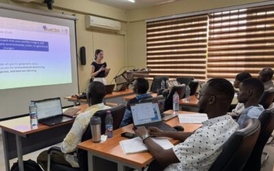
For two weeks, our NetCDA Team, this time formed by our colleagues Lilly Schell and Michael Thiel, is back at the Kwame Nkrumah University of Science and Technology (KNUST) as part of the WASCAL Graduate School on Climate Change and Land Use, supporting PhD candidates in developing their own skills on remote sensing analyses related […]

