Job Announcement: PhD Position on EO research of Drought, Fire and Vegetation in Kruger National Park, South Africa
Position: PhD Researcher
Study Area: Kruger National Park, South Africa
Application Deadline: until position is filled
Start Date: as soon as possible
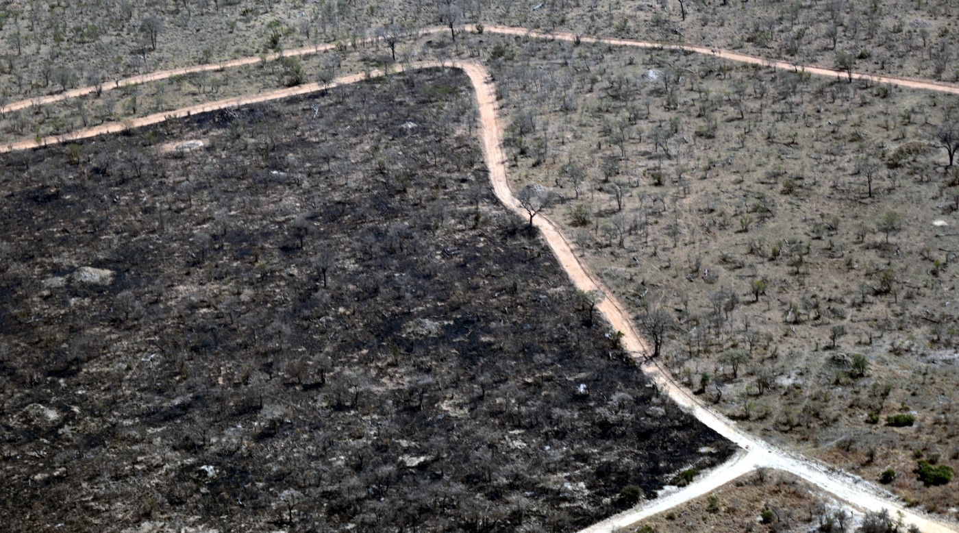
Overview: The Earth Observation Research Cluster at University of Würzburg invites applications for a PhD position focused on the innovative use of space-borne and drone-based remote sensing technology for mapping drought and fire impacts on vegetation dynamics in the Kruger National Park. This research aims to enhance our understanding of ecological responses to droughts and fire events on African savanna ecosystems. Research will be done in common garden experiment settings as well as natural savanna ecosystems.
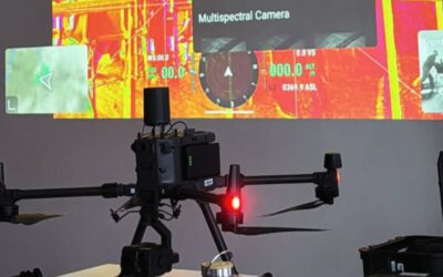
The PhD candidate will have the chance to fly UAS system with various sensors in the African savanna to analyze spatio-temporal changes, to map active fires using UAS thermal systems and collaborate with other disciplines such as botanists for innovative joint research outcomes. Moreover, the candidate will have the opportunity to apply a wide range of earth observation data for mapping vegetation variability, fire pattern and analyze relationships to vegetation status and development.
Key Responsibilities:
- Conduct fieldwork in Kruger National Park, utilizing drone technology equipped with LiDAR, thermal, and multispectral sensors to capture high-resolution imagery and data related to fire and vegetation.
- Analyze collected data to assess the impacts of drought and fire on various vegetation types and ecosystems.
- Collaborate with local researchers and conservation authorities to align project objectives
- Present findings at academic conferences and publish results in peer-reviewed journals.
- Engage with local communities and stakeholders to share research outcomes and implications.
Qualifications:
- A Master’s degree in Remote Sensing/Earth Observation, Environmental Science, Ecology, Geography, or a related field.
- Sound knowledge of current Earth Observation satellite systems such as Sentinel and analysis of active and passive remote sensing data
- Experience with drone operation and a diversity of remote sensing technologies, particularly LiDAR, thermal, and multispectral sensors, is highly desirable.
- Strong analytical skills and proficiency in remote sensing and data analysis software and programming environments (R and Python, optionally also GeoJulia or Java Script)
- Interest to learn UAS data image processing for Lidar, multi-spectral and thermal data and develop analysis processing chains
- Excellent communication and teamwork abilities.
- A strong interest for applied remote sensing research.
Funding and Benefits:
- The position is funded for three years (65%, TVL-13), including travel expenses, and research costs.
- Opportunities for professional development and networking within the remote sensing community.
Application Process: Interested candidates should submit the following documents:
- A cover letter outlining your research interests and relevant experience.
- A detailed CV.
- Contact information for two academic or professional references.
Contact Information: For inquiries, please contact Dr. Mirjana Bevanda.
To Apply: Please submit your application materials as one (1) pdf to .. position is filled!
We are committed to fostering an inclusive and diverse workplace and strongly encourage applications from individuals with disabilities, those from underprivileged and diverse backgrounds, and other groups. Our hiring process is designed to ensure equal opportunity where needed, as we believe that diverse perspectives enrich our team and drive innovation. If you require any specific support during the application process, please do not hesitate to reach out.
Join us in this exciting opportunity to contribute to the understanding of drought and fire dynamics and vegetation management in one of South Africa’s national parks!


