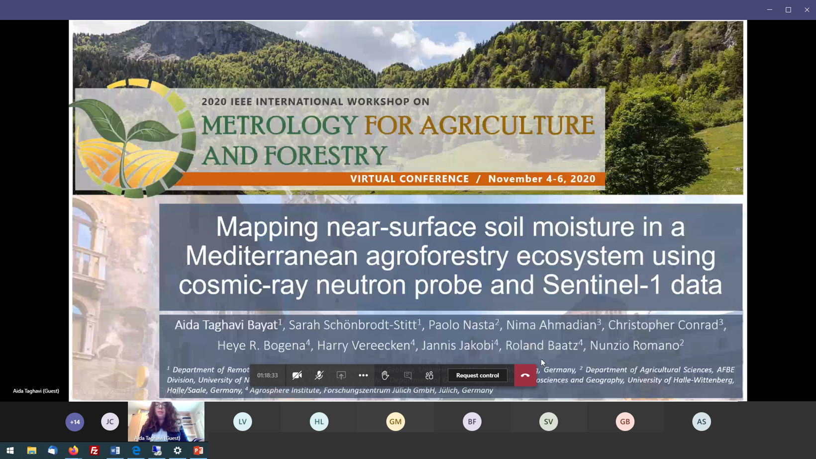
On November 4, the EAGLE MSc student Aida Tagahvai Bayat presented recent activities on “Mapping near-surface soil moisture in a Mediterranean agroforestry ecosystem using cosmic-ray neutron probe and Sentinel-1 data” in Session 1.5 – Special Session on Integrated Water Management for Agriculture (PART I): Sensing, Modeling, and Data Integration – PART 1. The research is conducted in close collaboration with colleagues from the Department of Remote Sensing at the University of Würzburg, the Department of Agricultural Sciences (AFBE Division) at the University of Napoli Federico II in Naples, Italy, the Department of Geoecology at the University of Halle-Wittenberg in Halle/Saale, and at the Agrosphere Institute at Forschungszentrum Jülich. The presentation highlights the enormous potential of integrating soft data such as Sentinel-1 SAR-based measurements, topographic information, and Cosmic-ray neutron probe data to map the near-surface soil moisture at high spatiotemporal resolution (17 m grid size, 6 days) in a small-scale agroforestry experimental site (~ 30 ha) in southern Italy.

Taghavi Bayat, A.; Schönbrodt-Stitt, S.; Nasta, P.; Ahmadian, N.; Conrad, C.; Bogena, H.R.; Vereecken, H.; Jakobi, J.; Baatz, R.; Romano, N. Mapping near-surface soil moisture in a Mediterranean agroforestry ecosystem using cosmic-ray neutron probe and Sentinel-1 data. in 2020 IEEE International Workshop on Metrology for Agriculture and Forestry (MetroAgriFor), Trente, Italy, virtual conference.


