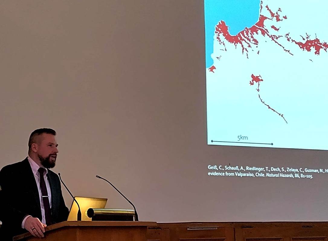
Prof. Christian Geiß is currently pursuing a habilitation @ JMU and is also with the German Aerospace Center (DLR) and the University of Bonn. On December 4th he gave a brilliant inaugural lecture on „Multimodal Earth Vision and Artificial Intelligence Techniques for Natural Hazard Risk and Impact Assessment” at University of Bonn’s the Dies Academicus.
With his group Georisks he focuses on the interactions between natural hazards and settlement areas.
From a data-oriented perspective, they utilize modern Earth Observation missions for this interdisciplinary field of application. Additionally, they deploy ancillary geospatial data sources, such as Volunteered Geographic Information, geolocated text-based data, and street-level imagery, among others. At a methodological level, they adapt and develop techniques from the field of Machine Learning/Artificial Intelligence to extract thematic information from frequently multimodal data sources.
In terms of data and technique application, they specifically analyze risks from natural hazards such as earthquakes, tsunamis, landslides, flooding, and fires. Additionally, they aim to support the analysis of cascading effects and multi-risk situations. They also address the forecasting of future risk scenarios and the image-based mapping of damage to the built and natural environments.

