remote sensing lecture at AniMove

remote sensing lecture at AniMove

December 14, 2016

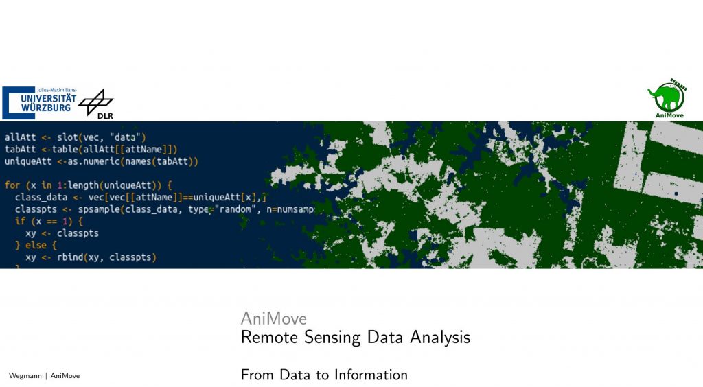
Martin Wegmann and Ruben Remelgado gave a 2 days lecture at the AniMove.org science school at BIK-F in Frankfurt covering applied aspects of remote sensing especially for ecology with a focus on animal movement. More than 20 international PhD and PostDocs attended this winter school, all with their own animal tracking data and specific needs concerning environmental analysis. The basics and background of remote sensing as well as the application was introduced. Moreover, theoretical and practical parts covered data visualization, data import and export, computation of vegetation indices, unsupervised classification, supervised classification, generation of vector training data and projection issues. All practical courses were using R and QGIS to comply to the standards of AniMove.


Additionally, Martin Wegmann is part of the AniMove board and jointly with the colleagues from MPI, Smithsonian and BIK-F the dates, locations and aims of the AniMoves in 2017 any beyond were discussed. More details will be posted soon on www.animove.org


you may also like:

Science Communication training with our NetCDA partners

Science Communication training with our NetCDA partners

Friday last week we had the chance to offer our NetCDA guests and partners various workshops on science communication. Depending on their previous knowledge, the participants in these workshops were able to expand their skills in the external representation and...

Project meeting NetCDA

Project meeting NetCDA

The first annual NetCDA project meeting took place in Würzburg on November 21st, 2024. Together with all German and West African partners from the West African Science Service Centre on Climate Change and Land Use (WASCAL), we have laid the foundation for our future...

The EORC can also be found on bluesky

The EORC can also be found on bluesky

We are active on various social media channels but in the last weeks we monitored a very strong increase of scientists joining bluesky and following our activities on that platform. Therefore we decided to be more active on bluesky and post regular news about our...

Blender GIS introduction

Blender GIS introduction

Within out EAGLE Earth Observation M.Sc. we also cover software applications which might not be used on a regular basis within our field of research but are sometimes highly useful to display our spatial data in a visually appealing way - and also potentially provides...