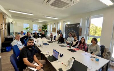

Last week a group of PhD and EAGLE MSc students visited the Umweltforschungsstation Schneefernerhaus (UFS) at the Zugspitze for a workshop on research in high alpine ecosystems. The workshop was kicked-off by presentations from some of our students, who are conducting research at the Zugspitze as part of their PhD and MSc thesis projects. PhD student Basil Tufail presented his work on mountain pine mapping in the German Alps using Sentinel-2 and uncrewed aerial system (UAS) data. Mountain pines (Pinus mugo) are a type of conifer that typically grows along the treeline. Basil’s research uses remote sensing to detect how the distribution of mountain pines has changed in response to climate change.
Our PhD student Elio Rauth also presented results from our ongoing project on snow depth mapping using UAS data. Together with Basil and more than 40 other field assistants he has spent the last 2 years collecting UAS data in varying snow conditions to analyze patterns of snow accumulation and ablation. As part of this project, he wants to use multispectral UAS data to detect areas where vegetation can grow in the summer to find out how snow conditions differ in vegetated areas. During the workshop the group therefore collected high-resolution multispectral UAS data in snow-free conditions.
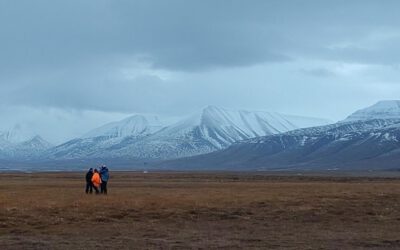
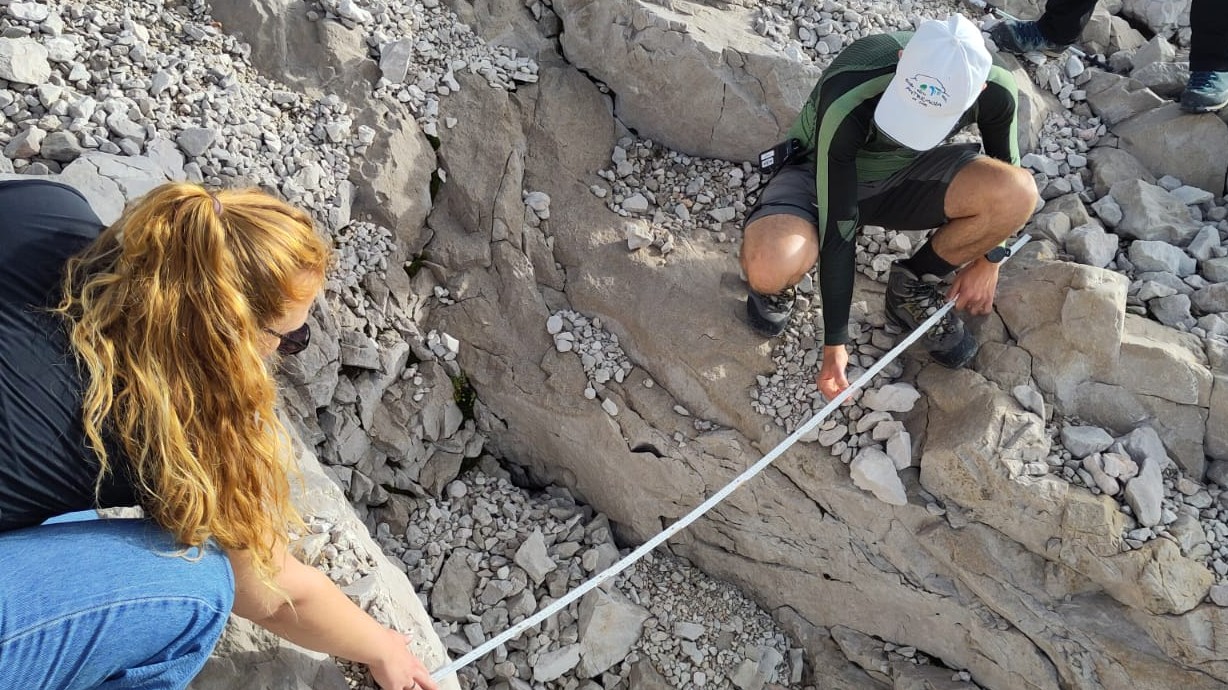
In addition to snow and vegetation, the group was also interested in geomorphology. MSc student Hanna Schulten is writing her master’s thesis about sinkholes on the Zugspitzplatt and used this workshop as an opportunity to get a closer look at the sinkholes. As the mountains in the Zugspitz region are primarily composed of limestone, sinkholes (also called dolines) are a common occurrence and can vastly differ in size. While many sinkholes can be easily spotted when hiking on the Zugspitzeplatt in summer, they disappear under a thick snow cover during the winter and are often filled with snow as late as June or July. Hanna and the rest of the group therefore spent a whole day in the field measuring the size and depth of several sinkholes to be able to validate UAS-based observations with measurements taken in the field.
The trip to the Zugspitze of course also included visits to the crystal-clear Eibsee lake and the observation deck next to the Zugspitze summit, which at 2962 m is Germany’s highest mountain. Situated slightly lower down on the mountain, the UFS also offers stunning views of the Zugspitzplatt and is the perfect starting point for field campaigns. We thank the UFS staff for the great stay and hope to be back soon!