Research Topic: Earth observation for health monitoring – Emission sources from satellite data for an improved forecast of the pollen flight in Bavaria
The aim of the PhD project is a valid and practicable pollen forecast for Bavaria, which is characterized by a high spatial resolution as well as by a prediction as early as possible. The emission sources shall be derived from current Sentinel-2 time series using EO data cubes and coupled with dispersion models developed for atmospheric composition and pollen prediction. The overeall goal of the project is to integrate latest Earth observation technologies with digital health mapping to improve the provision of allergy risk maps.
- time series analyses of Sentinel-2 satellite data and in-situ data on vegetation phenology in forest and grassland ecosystems.
- time series analyses and mapping workflows using analyses ready data (ARD) in an Earth Observation Data Cube framework.
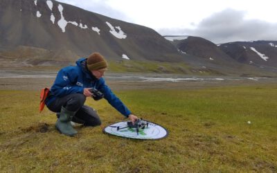
- integrate research on in-situ field data on forest tree species and grassland land use and land cover data together with multi-scale UAV and satellite data for vegetation structure and land dynamics mapping.
- testing and integrating satellite-based land use and land cover data with existing spatially related numerical dispersion models developed for atmospheric composition.
- training and workshops for stakeholder and user trainings within the project team.
Your Profile
- You have sound experience in dealing with satellite data, in particular SAR data and optical satellite data.
- You have experience in working with GIS and Remote Sensing and have already used it in a project-related context.
- You have knowledge in programming languages like Python, R or Java Script and are motivated to develop yourself further here.
- You like to work in an multi-disciplinary project Earth Observation/remote sensing context including computer science, forestry, biology and geography.
- You have completed your M.Sc. in environmental science (preferably, geography, geoinformatics or computer science)
- You are interested to familiarize with the development of cloud-based software solutions
We offer you
- New exciting challenges of future-oriented topics in a creative team-oriented environment at the Remote Sensing Department of the University of Würzburg.
- You benefit from an extensive scientific network and the close connection to the German Aerospace Center (DLR).
- We offer a 50% position for three years and a close scientific mentoring to advance your academic career. You have the opportunity to write a doctoral thesis within the framework of this activity.
Severely disabled persons are given preferential employment if their aptitude, skills and professional performance are essentially the same. The recruitment is subject to the approval of the project by the funding agency.
Apply with your complete application documents by e-mail to:
christian.huettich@uni-wuerzburg.de
Further Information:
Web: https://remote-sensing.org | Phone: +49 (0) 931 31 82583

