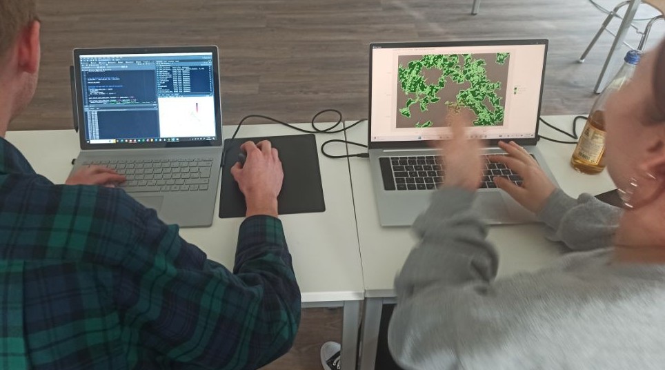
The biology student learned a wide range of spatial functionality from creating maps up to classifications – they learned how to do it in QGIS as well as R. We are very much looking forward to see their skills being applied in forthcoming courses within the biology faculty and their MSc thesis research.
KI4Stereo – Hybrid kick-off meeting at DLR
KI4Stereo – Hybrid kick-off meeting at DLR: AI-based analysis of stereo image data for tree monitoringOn January 23rd, 2026, a hybrid kick-off meeting was held at DLR to officially launch the research project KI4Stereo (funded under the KMU-innovativ programme,...


