Today’s Workshop Report at the Department of Remote Sensing – March 21, 2018

Today’s Workshop Report at the Department of Remote Sensing – March 21, 2018

m

March 21, 2018

CAWa project – validation and dissemination activities in the final CAWa project phase (2018-2019)

Today, the CAWa team members at the Department of Remote Sensing (University of Würzburg) will give the first workshop report in 2018.

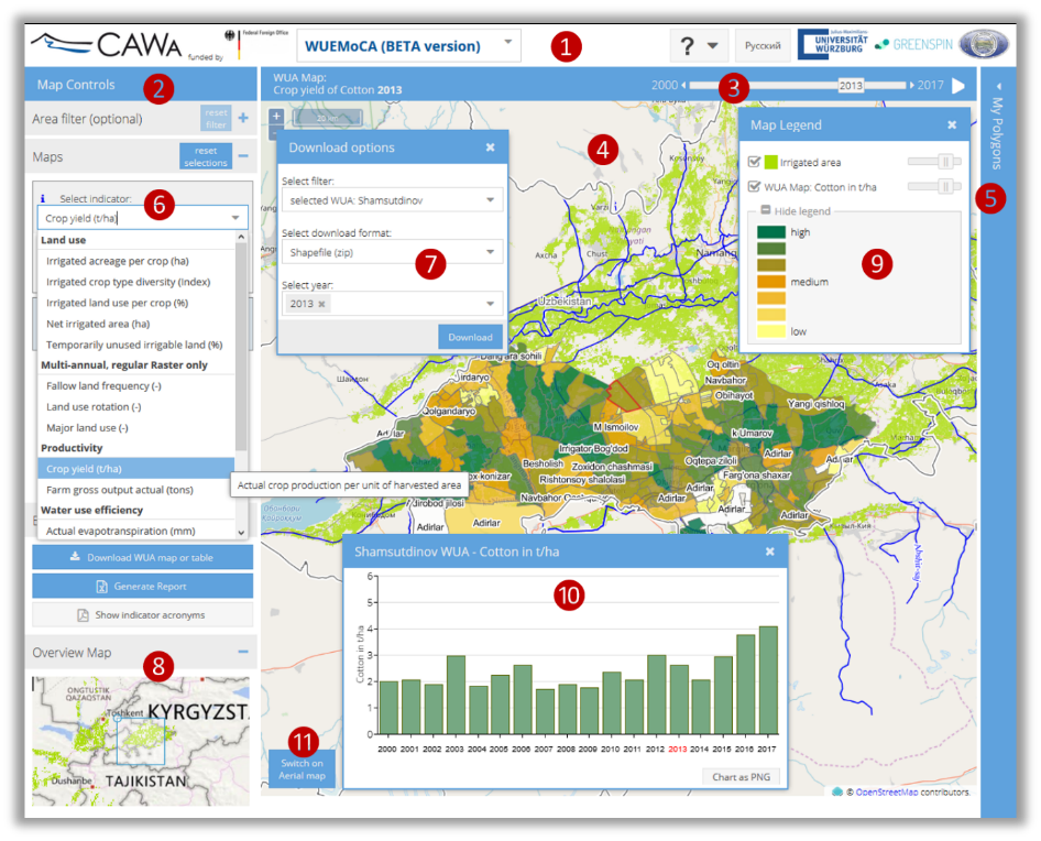
They will talk about validation and dissemination activities in the final project phase of CAWa (2018-2019). The focus of presentation will be on providing a status quo report and outlook of planned activities concerning the validation of existing satellite image classification procedures as well as further improvements based on training data from former and further planned field sampling campaigns. In this presentation, recent tool improvements of WUEMoCA (Water Use Efficiency Monitor in Central Asia) and dissemination activities planned for the remaining project time will also be addressed.


Title of presentation: CAWa project – validation and dissemination activities in the final CAWa project phase (2018-2019)

Presenters: Maik Netzband, Ruben Remelgado, Lucia-Morper-Busch, Sarah Schönbrodt-Stitt, Christopher Conrad

Time: 10 – 12 am

Place: Josef-Martin-Weg 52, Campus Hubland Nord


All interested persons are cordially invited!


What are the workshop reports about? Presentation of ongoing PhD studies and projects, as well as new modules for the
scientific exchange but also for preparation to presenting at conferences. Topics presented will be discussed in an environment of different expertise.

you may also like:

EORC and EAGLE summer BBQ

EORC and EAGLE summer BBQ

We’re happy to announce that our summer BBQ is happening again on Thursday, July 24th at 4pm! Alongside good food and a relaxed atmosphere, we’re also hosting a series of short talks highlighting exciting topics in Earth Observation and environmental science: “The...

🗺 Exploring Map Visualizations

🗺 Exploring Map Visualizations

Within our EAGLE courses our students have to learn a wide variety of skills - beside the fundamental earth observation theory and practice also skills like map creation is part of the curriculum. One of our students Ronja Seitz has created three visualizations guides...

Successful Completion of UNIversInternational Certificate

Successful Completion of UNIversInternational Certificate

In line with its internationalization strategy, the University of Würzburg supports administrative staff in their task of advising and supporting international students, guests, and academics. To this end, it has launched the "UNIversInternational" certificate...

The “Geolingual Studies” team visited the DLR EOC

The “Geolingual Studies” team visited the DLR EOC

The "Geolingual Studies" team of the University Würzburg visited the DLR-EOC on 3 and 4 July 2025. Geolingual Studies is an innovative area of research and teaching which takes a decisively applied linguistic approach and combines methodologies from linguistics,...

Course on Object-based image analysis

Course on Object-based image analysis

Dr. Michael Wurm from the German Aerospace Center (DLR) gave a class about Object-based image analysis (OBIA) using the eCognition Software for the EAGLE students. The course gives an insight into the theoretical basis of OBIA and using different datasets and tasks...