
UAS-based Hyperspectral and LiDAR Sensing at the EORC

UAS-based Hyperspectral and LiDAR Sensing at the EORC

m

March 6, 2024

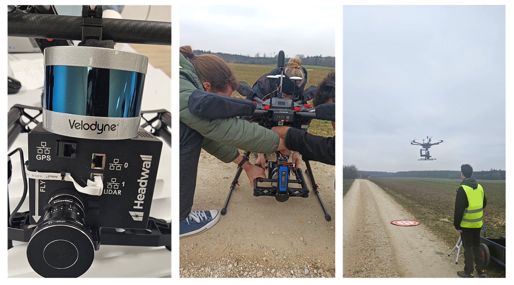
The UAS team from the Earth Observation Research Cluster was trained last week on its new sensor. The new addition is a compact radiometric VNIR hyperspectral imaging system for remote sensing, the Headwall Nano HP VNIR with onboard LiDAR, mounted to a Gremsy H16 V2 gimbal for the DJI M600.

In an exciting, intensive training session at the German distributor of the Headwall Nano HP VNIR, geo-konzept GmbH, the UAS team took the first flights and devoted themselves to processing the hyperspectral data.

We look forward to applying the sensor system, e.g., in detecting vegetation stressors in forests and agriculture, as in the BigData@Geo 2.0 project.

follow us and share it on:

you may also like:

EORC at City Festival

EORC at City Festival

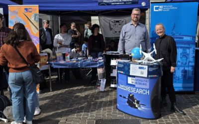
The Stadtfest Würzburg took over the city this weekend, and any many organisations, local initiatives, like DLRG and all other kinds of groups had booths, and we joined in with our own little corner on Earth observation beside various other University tents by...

bzgl. Art. 50 Verordnung (EU) 2024/1689 (AI Act):

Überwiegend werden eigene originäre Texte und Bilder des EORC genutzt, jedoch sind einige Inhalte von blog post Texten teilweise mit Hilfe von KI überarbeitet worden und einige Bilder sind ganz mit KI erstellt, die jedoch deutlich keine photorealistische Darstellungen abbilden. Aussnahmen sind KI generierte fernerkundliche Datensätze, die explizit für Forschungszwecke mit KI erstellt wurden, hier wird aber durch den assoziierten Text der wissenschaftliche Grund der KI generierten Bilder erläutert.

Share This