UAS Lidar and multispectral field work on Zugspitze

UAS Lidar and multispectral field work on Zugspitze

April 24, 2023

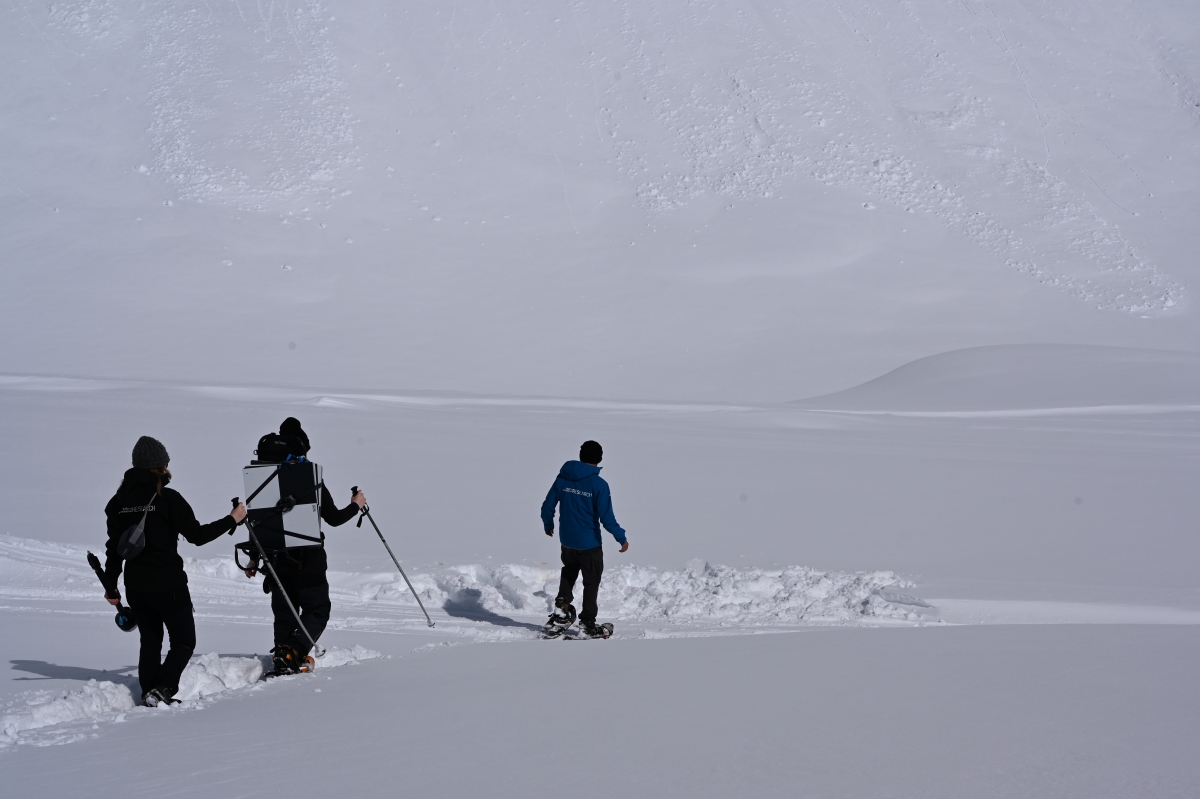
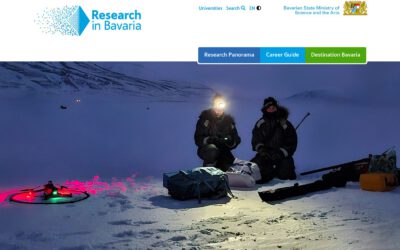
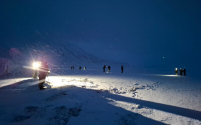
Last week we spend some time on the UFS research station at Zugspitze to collect Lidar, multispectral and thermal data from UAS/UAV systems. The weather was great for collecting data and we had plenty of snow to walk through to our launch site.

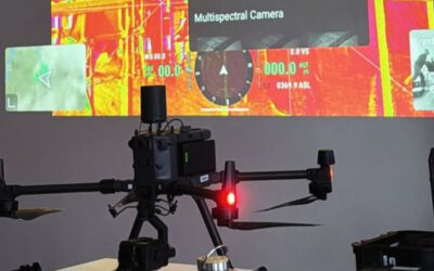
Various systems were used and acquired data, from TLS to ALS and some of our EAGLE MSc. students helped a lot with the data acquisition. We already plan the next field work and also collecting data of other sites within the area.

We mainly used the M300 system with dual payloads to collect as much data as possible with the shortest time due to the unpredictable weather in the Alps. Luckily the weather was quite stable for the whole time even though the forecast predicted storm and snow/rain.

Also walking with snowshoes through the fresh snow was an experience especially with all the heavy equipment. The results will be posted soon.

you may also like:

Five Years of Data Cube Innovations in AgriSens DEMMIN 4.0

Five Years of Data Cube Innovations in AgriSens DEMMIN 4.0

Over the past five years, we made significant advancements with our Data Cube development within the AgriSens DEMMIN 4.0 project. We enhanced the system architecture and the offerings of the Data Cube to optimize the use of remote sensing data for agricultural...

Workshop on “Geodata, (social) media data and linguistics”

Workshop on “Geodata, (social) media data and linguistics”

On 26 February 2025, a workshop on "Geodata, (social) media data and linguistics" was held at DLR in Oberpfaffenhofen. Colleagues from the German Remote Sensing Data Center (DFD) of the DLR and from the Chair of English Linguistics as well as our Earth Observation...

UAS Team Acquires high alpine snow data

UAS Team Acquires high alpine snow data

In a remarkable display of teamwork, our UAS (Unoccupied Aerial Systems) team has successfully managed to overcome some technical obstacles present since last summer on UAS data collection in steep terrain and acquired a wealth of data using lidar, multispectral, and...