UAS team – meme

UAS team – meme

m

July 3, 2024

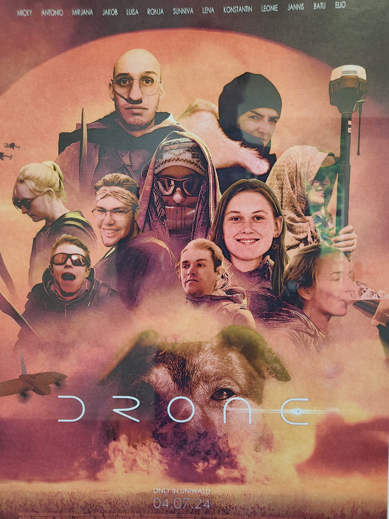
The UAS (UAV or drone) team was quite busy the last months to collect data in Europe, Africa or Arctic and the group spend plenty of hours traveling and collecting Lidar, multispectral, thermal or hyperspectral data in various ecosystems. Of course in many cases faced by various challenges and most of them could be resolved by the team.
The team spirit also leads to various jokes or memes like the one posted here – great to see our EAGLE student assistants and our EORC staff members appearing in this graphic created by one of our student assistants for fun.

you may also like:

New DFG project on tree mortality

New DFG project on tree mortality

Our DFG project on tree mortality jointly with the University of Bayreuth and other partners in Germany and Africa got funded and will start in the next months. The project addresses the impact of fire and drought as stress factors for tree mortality in savanna...

welcome of the new EAGLE Earth Observation students

welcome of the new EAGLE Earth Observation students

Today our new EAGLE students were welcomed and introduced to our remote sensing work. Tobias Ullmann presented various remote sensing projects at our EORC from Africa to the Arctic and also outlined our structure. Martin Wegmann introduced the general concept of EAGLE...

EORC at the Annual Meeting of the German Society for Geomorphology

EORC at the Annual Meeting of the German Society for Geomorphology

From Wednesday to Friday, EORC scientists Baturalp Arisoy and Florian Betz participated in the annual meeting of the German Society for Geomorphology which took place at the University of Leipzig. EORC showed two posters on "High performance Desert Analytics:...

Science slam with Earth Observation

Science slam with Earth Observation

On November 8th the University Wuerzburg Science Slam will take place on the Campus Hubland again - this time with the head of our Department of Global Urbanization and Remote Sensing, Prof. Hannes Taubenboeck. He will present our urban research using remote sensing...