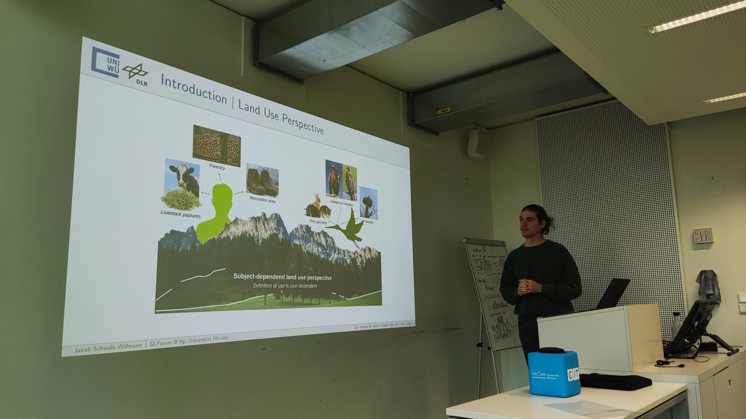
Two days ago, our PostDoc Dr. Jakob Schwalb-Willmann visited the Institute for Geoinformatics at University of Münster. On invitation by Prof. Dr. Edzer Pebesma and Johannes Heisig, he gave a talk at IFGI’s GI Forum titled “Can animals be used to classify land use? Employing movement-tracked animals as environmental informants using deep learning”. In his talk, Dr. Schwalb-Willmann explored the potential of large-scale, multi-species animal movement tracking for Earth observation (see abstract below) and the opportunities in convincing remote sensing and ecological data. The talk was followed by a discussion on both the presented methods and applications. The weekly GI forum is a series of talks by researchers from inside and outside of IFGI on topics across Geoinformatic sciences and is open to the public.
During his visit, Dr. Schwalb-Willmann also had the chance to meet with colleagues at IFGI an the Institute for Landscape Ecology (ILÖK), including Prof. Dr. Edzer Pebesma, Prof. Dr. Hanna Meyer, Dr. Jakub Nowosad and Johannes Heisig. The visit was a great opportunity for exchange on topics and projects that the Earth Observation Research Cluster (EORC) at University of Würzburg and IFGI at University of Münster are working on in both research and teaching, including software development in R and Python, remote sensing research, and science schools and workshops.
We are grateful for the invitation and happy for the chance of exchange!
Abstract of the talk:
“Land use/land cover (LU/LC) classifiers are models that transform environmental data into interpretable, quantifiable information. Conventional LU/LC classification approaches rely on human-defined classes and human-collected ground truth data to train a classifier. Animals, like humans, perceive, interpret and differentiate their environment, resulting in distinctive movement behavior governed by the animals’ needs and the surrounding conditions. In this study, we utilize the animal’s unique view on the landscape to classify environmental data: We propose a Deep Learning approach that learns cluster-friendly representations from animal-environment interactions, generating behavior-derived ground truth data for animal land use (ALU) classification from environmental data. The classifier’s applicability was measured within 153 areas of interest (AOI) within Europe, covering an area of 53,167.55 km2. Our approach achieved high accuracies in both representation learning (0.881) and and ALU classification (0.806), showing that, overall, classes defined by clustered representations of animal-environment interactiond were well-differentiable in the environmental data. With an average ground truth spatial density of one sample per 0.51 km2 every three years, the presented approach exceeded sampling densities of state-of-the-art human labelling campaigns such as the European Land Use/Cover Area frame Survey (LUCAS) with 15 km2 per sample/three years. In comparison to human LU/LC, thematic resolution of ALU varied per land surface type, with higher thematic resolution in natural habitats such as grasslands and lower thematic resolution in urban areas. Our study demonstrates how animals can be employed as environmental informants in remote sensing research by using them as landscape interpreters to generate ground truth for land use classifications.”


