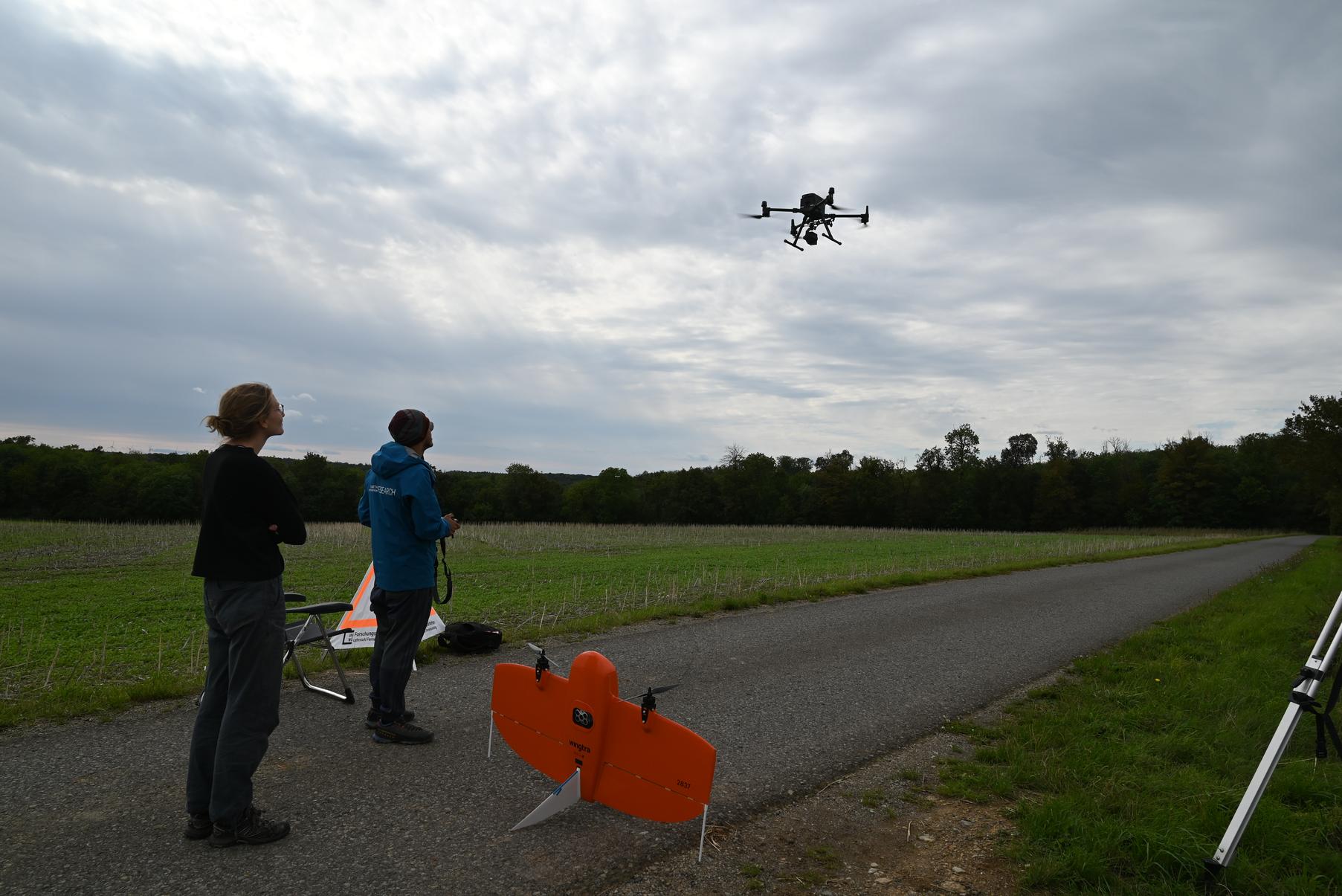
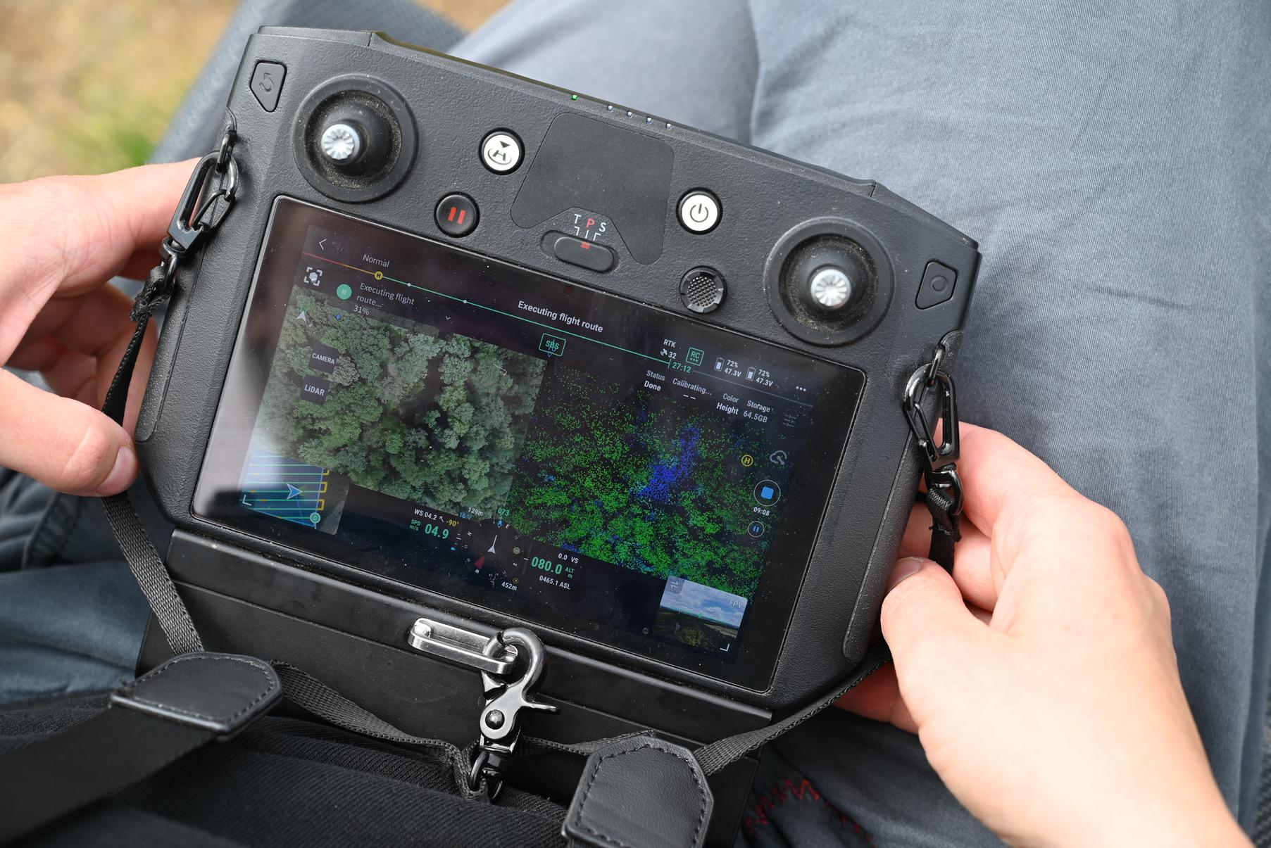
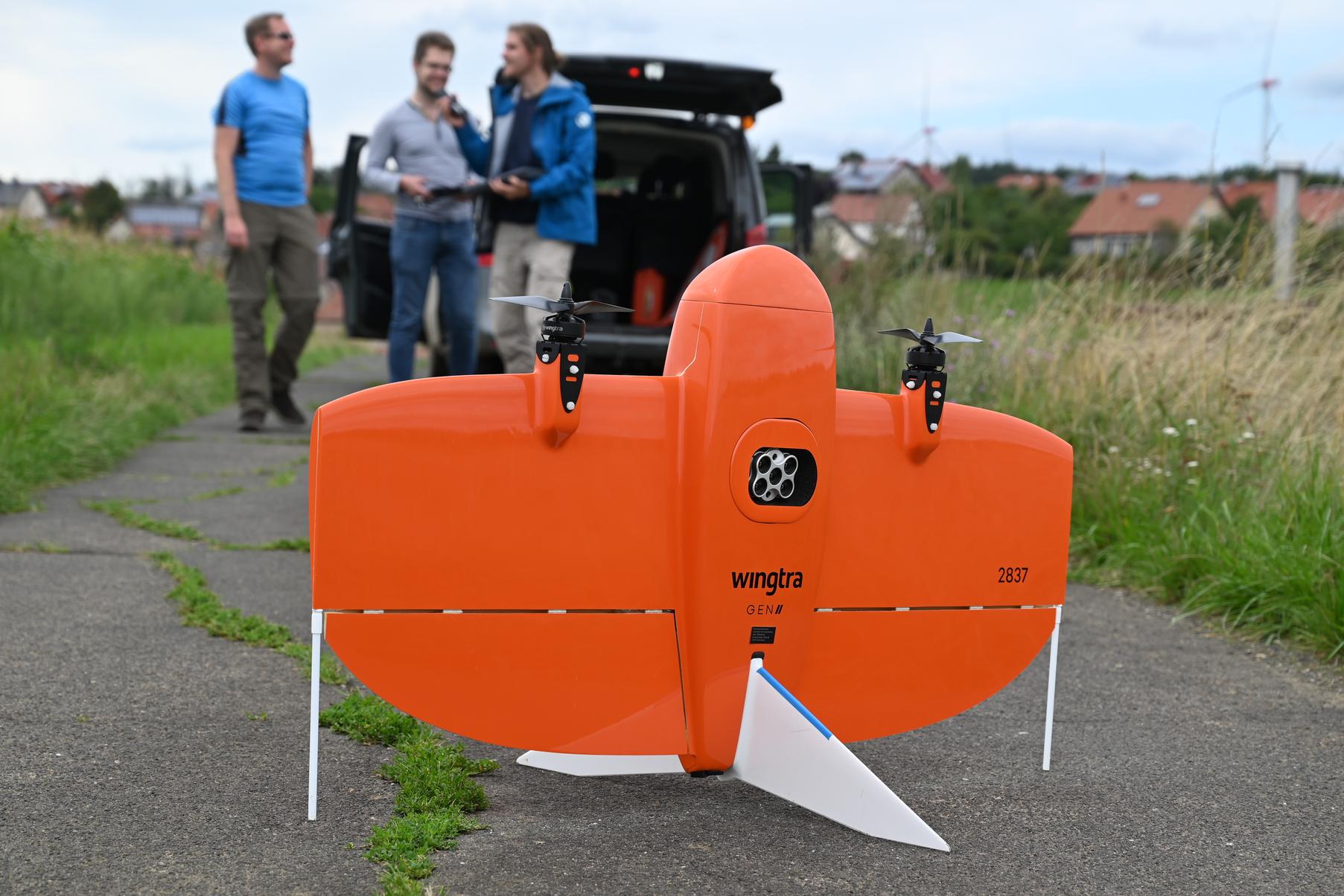
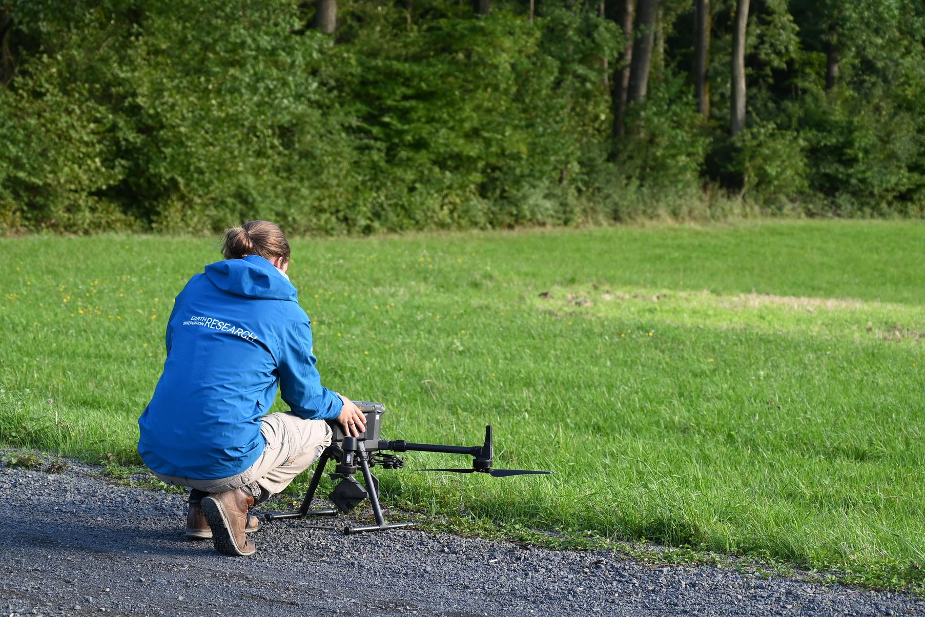
Since 1582 and expanded in 1821, the University of Würzburg owns around 2300 hectares of forest near Sailershausen, a village some 45 kilometers north-east of Würzburg. The Earth Observation Research Cluster is monitoring the status of this commendably managed ecosystem with UAVs (Uninhabited Aerial Vehicles), also referred to as drones: Every two weeks for a year, our team sets out to image the entire area from above. For this, we utilize an optical sensor mounted on a Wingtra (a fixed wing aircraft) that delivers multispectal imagery with centimeter resolution. Once a month, the same area is additionally covered with a DJI-M300 multicopter drone carrying a LIDAR sensor that acquires a dense point cloud. From such, we construct a highly detailed 3D model of the vegetation.
As we acquire these kinds of data continuously over the course of a year, we can see how the forest develops and changes. This includes the development of tree canopies and other structural components as well as changes in the photosynthetic activity of trees, indicating stresses and health conditions. To better understand the drivers of these changes, we can correlate our observations with other influencing factors such as climatic variables or forest management impacts.
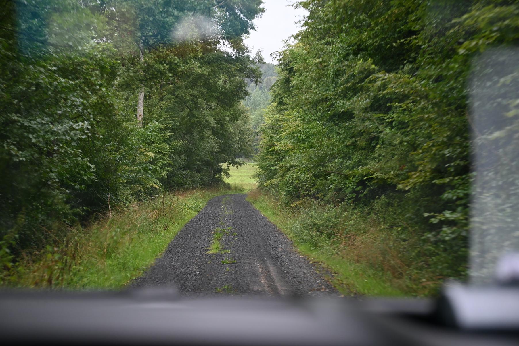
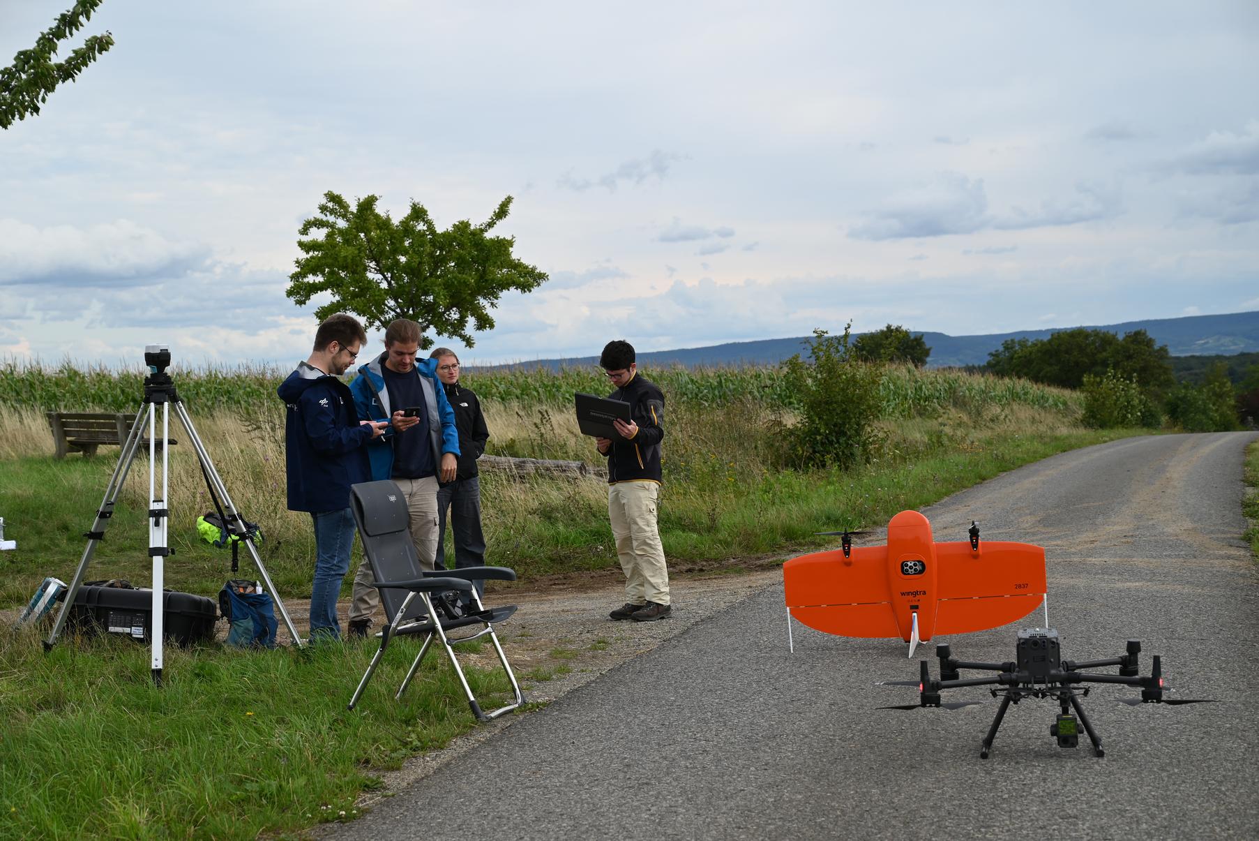
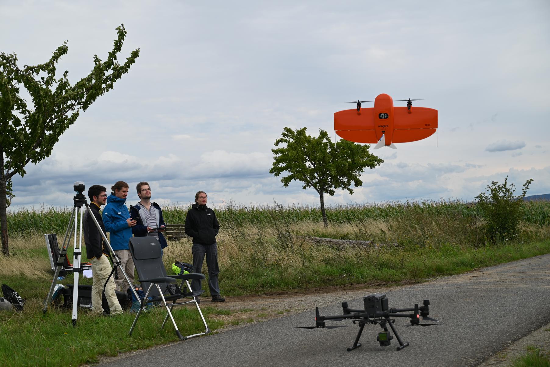
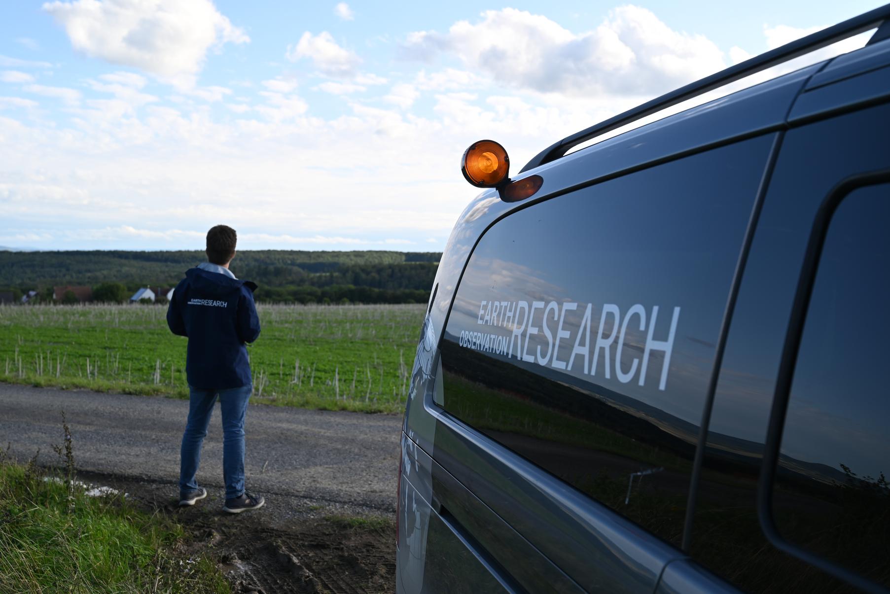
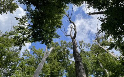
Last Wednesday was one of these “dual mission” days described above at which we fly both drones. Thus, the team met early in the morning and packed all the equipment to depart for Sailershausen no later than 07:00. Once arrived on site, the deployment of the airborne systems was delayed by bad weather. This is a risk that accompanies us and our tight flight schedules all the time when we go to the field: Too much rain is no good for the electricity of the delicate devices – and the steamy clouds rising from the forest, albeit beautiful to look at, would have hindered the acquisition of high quality data sets. Thankfully, the rain cleared later in the morning, so that the drones could finally launch. To fully cover the massive area, the vehicles continued flying for the rest of the day.
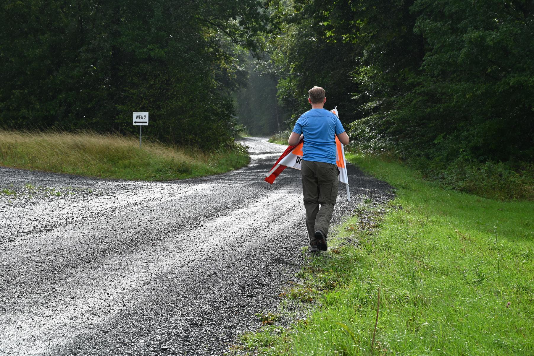
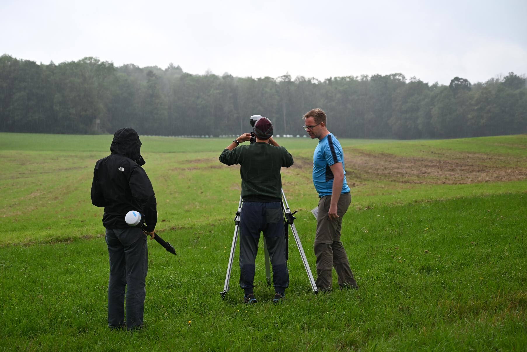
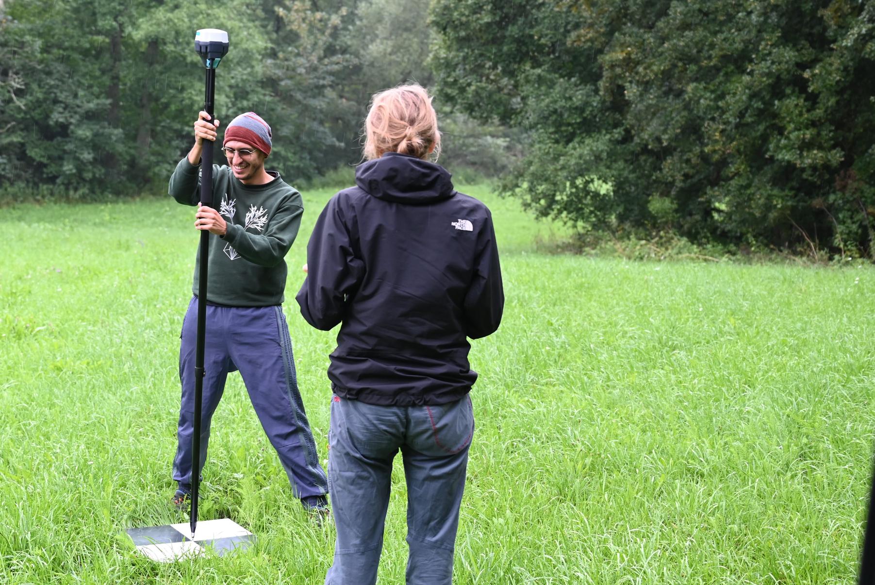
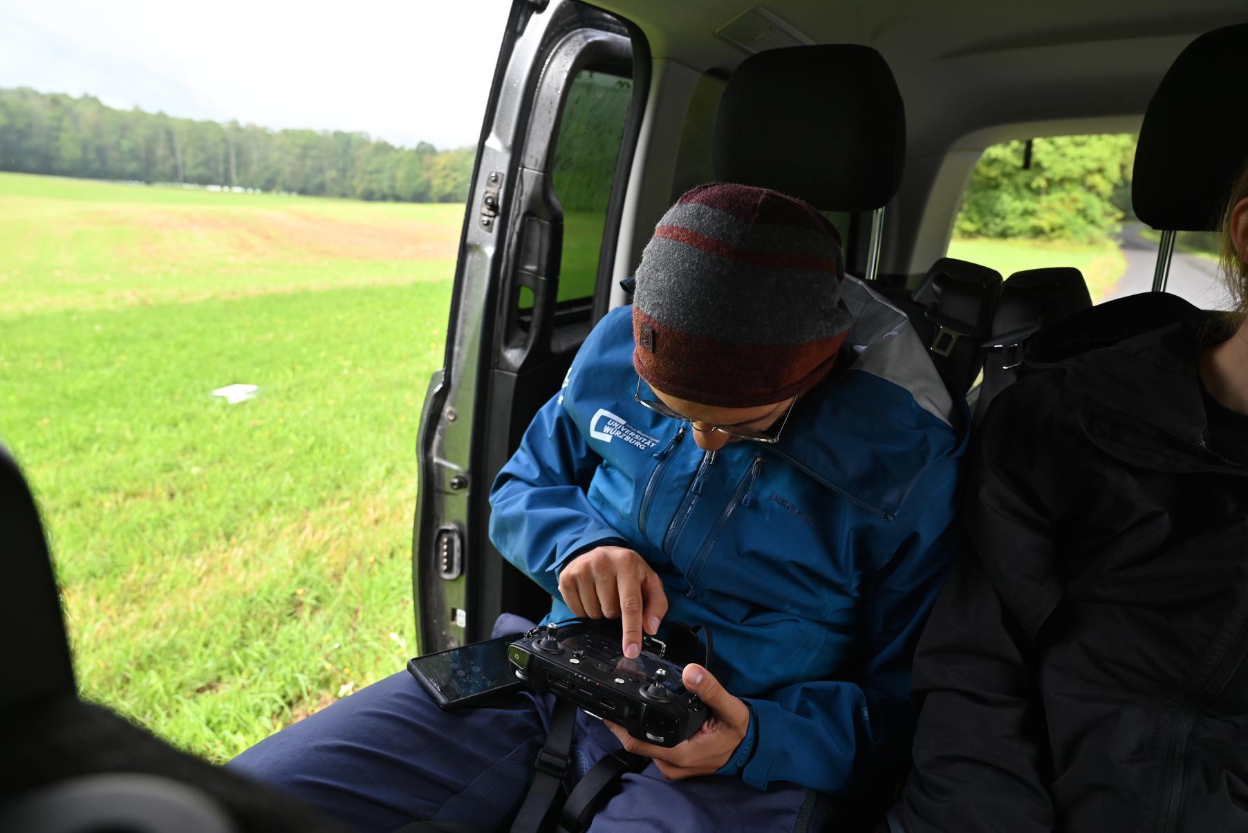
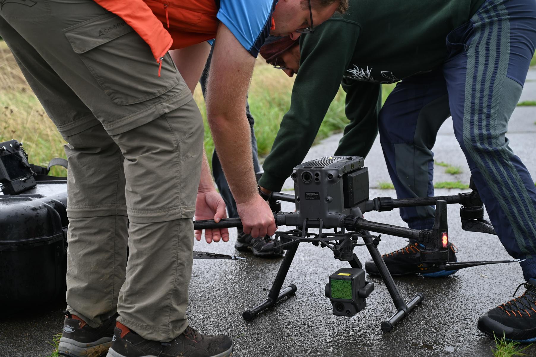
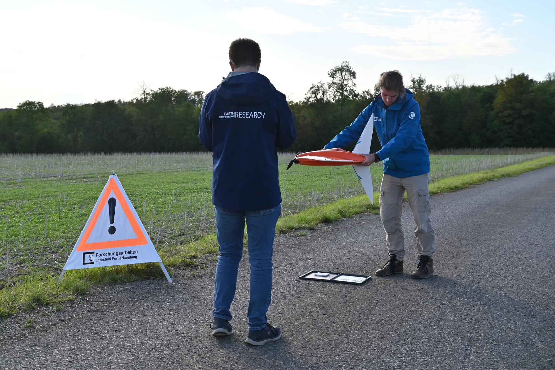
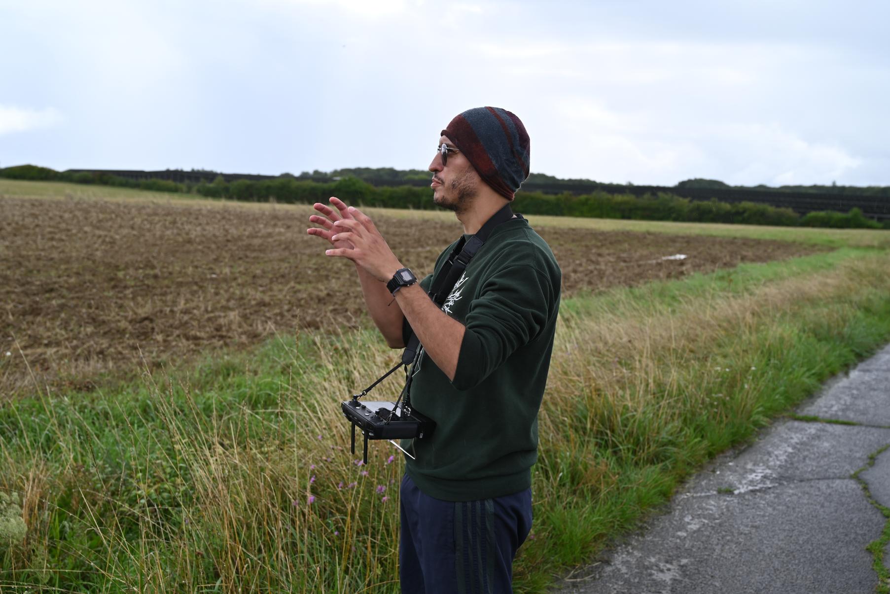
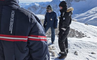
Usually, our Uniwald UAS core team consists of our pilots Ronja Seitz, Sunniva McKeever and Jannis Midasch who are working at the Earth Observation Research Cluster as student assistants, supervised by Dr. Mirjana Bevanda and Antonio José Castañeda Gómez. To keep up with our acquisition schedule, in exceptional cases, additional help is required, e.g. if core team members are not available: This time, Antonio José Castañeda Gómez, Svenja Dobelmann, Jakob Schwalb-Willmann and Jannis Midasch piloted the missions, assisted by Sebastian Buchelt and Christoph Friedrich supplying freshly charged batteries inbetween individual flights, shuttling pilots and equipment to the respective launch locations, helping with calibration of the sensors, and taking care of the ground control points. These had been laid out in the morning and their exact location measured via RTK-assisted GNSS, so that the captured imagery can be precisely georeferenced during the post-processing workflow.
After a long day in the field that started challenging but ended quite nicely, the team returned to Würzburg with SD cards filled with nearly 400 GB of excellent imagery – some of it obtained on the ground with an “ordinary” camera, so that we can share a few impressions of the work in the gallery below.
If you like to learn more about our UAV research at the Earth Observation Research Cluster, please contact Dr. Mirjana Bevanda.
Written by Christoph Friedrich and Jakob Schwalb-Willmann