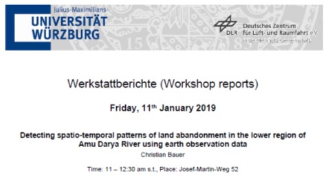
We are glad to announcing the 01st workshop report in the new year at the Department of Remote Sensing for Friday, 11th January 2019.
The presentation will be about
DETECTING SPATIO-TEMPORAL PATTERNS OF LAND ABANDONMENT IN THE LOWER REGION OF AMU DARYA RIVER USING EARTH OBSERVATION DATA
Abstract
Since the collapse of the Soviet Union, farmlands in Uzbekistan have been widely abandoned. However, the dependency on agriculture is still high for cash crops, particularly in context of food security and a rapidly growing population. Despite vast research in land degradation, the processes and drivers for abandonment remain hardly understood. Until now, no or little attention was paid to site-specific developments such as abandonment of arable land in irrigation agriculture and abandonment of land that was reclaimed in arid and semi-arid regions. Analysis of time series from Landsat earth observation data are recognized as highly suitable to establish retrospective and current land use changes. We combined multi-annual Landsat data and Random Forest machine learning to classify arable land and to discriminate between used and unused fields for the observation period between 1998 and 2016. The fields classified as “unused” were then subdivided according to their intensity of intra-annual NDVI signal that was used as further proxy to get information on the time at which the field became abandoned. A pixel-based classification was preferred instead an object-based classification to minimize prediction errors on field level. Furthermore, intensity information was used for validating retrospective data for years without field survey information. Overall, the classification of unused land was challenged by the complexity of the crop rotations, long fallow cycles, and the data scarcity. The derived information is concluded to support regional land use planners and decision makers to improve land management and to designate regions for alternative usages such as pastoralism.
Title of presentation: Detecting spatio-temporal patterns of land abandonment in the lower region of Amu Darya River using earth observation data
Presenter: Christian Bauer
Date: Friday, 11th January 2019 Time: 11 – 12:30 am s.t. Place: Josef-Martin-Weg 52 (1), Campus Hubland Nord, Würzburg
Presentation language: English Slides: English
All interested persons are cordially invited! We are looking forward to seeing you.

