Category: R
PhD position: Earth Observation of drought and fire impacts
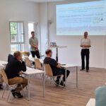
Job Announcement: PhD Position on EO research of Drought, Fire and Vegetation in Kruger National...
Read More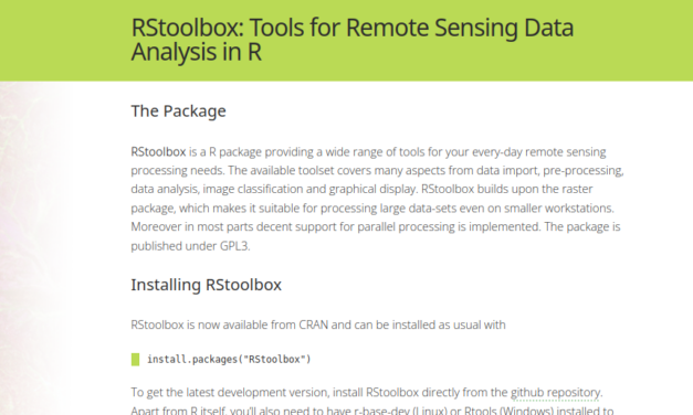
Our remote sensing toolbox RStoolbox updated
Last year the R remote sensing universe changed a bit and sp plus (partly) raster was deprecated....
Read More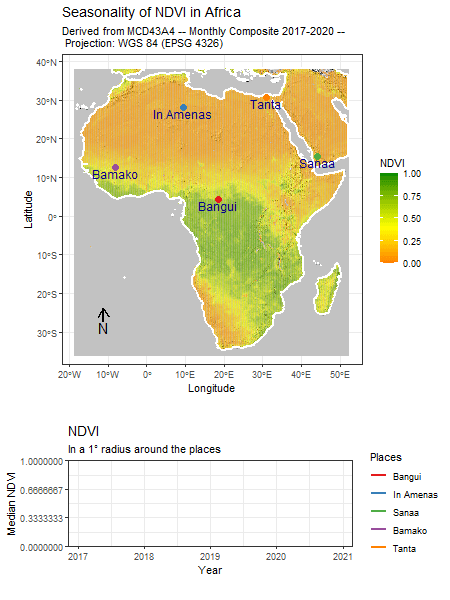
R package for time-series animation of rasters
One of remote sensing’s greatest strengths is its capability to deliver consistent and...
Read MoreCourse on Advanced Remote Sensing taught at FUT Minna
Our colleagues Steven Hill and Dr. Michael Thiel were giving a two weeks online course on Advanced...
Read MoreLecture on Advanced remote Sensing in Ghana
Our staff members Dr. Frank Thonfeld, Steven Hill, and Dr. Michael Thiel taught a three-week...
Read More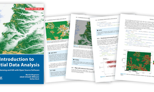
Book “Intro to Spatial Data Analysis” in Print
Our upcoming book “Introduction to Spatial Data Analysis” is finally in print and...
Read More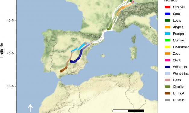
Visualizing movement trajectories in R using moveVis: Article published in the latest issue of Methods in Ecology and Evolution
Figure 1: Migratory movements of white storks Ciconia ciconia on a Mapbox satellite base map...
Read More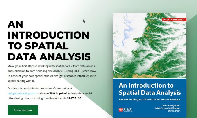
Upcoming book “Introduction to Spatial Data Analysis” – 30% discount for pre-order
Our book is available for pre-order! Order today at pelagicpublishing.com and save 30% in price!...
Read More
DevLab 2020: EO Data Cube Workshop by Steven Hill
In our Department’s first DevLab workshop of 2020, Steven Hill will give an introduction into the Open Data Cube infrastructure of our Department and demonstrate the cube’s web and Python user interfaces.
Read More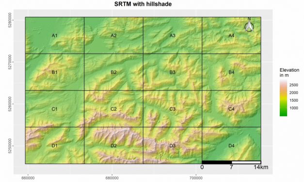
R package for field map creation
A new R package was designed by Marius Philipp for the automatized generation of map booklet pdfs...
Read More
7 R-tips for Rookies
A short course in R helps to get in touch with the software and to overcome some beginner’s...
Read More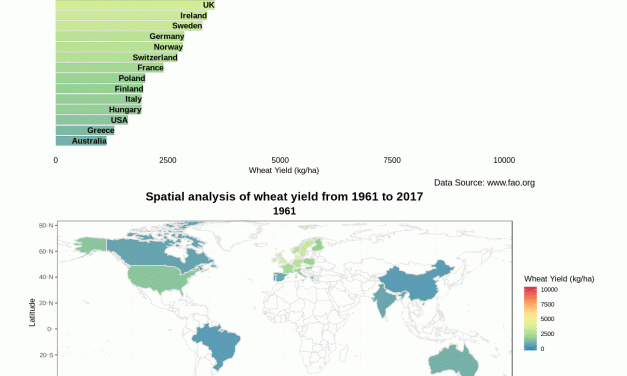
Bar Chart race using ‘gganimate’ for world’s most efficient wheat yield producing countries
Easy spatio-temporal visualization of 15 selected efficient wheat yield producing countries using...
Read More