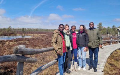
Application is now open for those interested in participating in the training course funded by the European Facility for Airborne Research (EUFAR) through EU’s 7th Framework Programme will be held at the Bavarian Forest National Park and DLR from 3th to 14th of July 2017. In this training course, the special skills required for processing the new generation of airborne hyperspectral, thermal, and LiDAR data for retrieving essential biodiversity variables in forest ecosystems will be presented. The course features Dr. Hooman Latifi from the Dept. of Remote Sensing of the University of Würzburg.
The ground data collection that will be performed during the first week of the training course at the Bavarian Forest National Park aims to provide the participants (PhD students, post-docs and university lecturers) with knowhow on tools (field spectroscopy, thermal spectrometry and terrestrial LiDAR) and measurement techniques to collect different vegetation variables. In addition, an airborne campaign with a NERC Twin Otter for the concurrent acquisitions of hyperspectral imaging data in visible, near-infrared, shortwave-infrared and longwave-infrared (thermal) wavelengths as well as LiDAR data (with full wave form component) will be organised during the training course if the weather conditions allow.
Data acquired during the training course as well as archived data will be processed and analysed in the hands-on sessions with the support of experienced users of airborne facilities and form the basis for the final scientific report. RS4forestEBV data will also be made available after the training course via the EUFAR website, accessible to all EUFAR registered members.
Furthermore, during the second week, participants will be able to attend certain sessions of the 2nd International Conference on Airborne Research for the Environment (ICARE) that will be held simultaneously on the DLR premises from 10 -13 July 2017.


