
new MSc: Sarah Malec

new MSc: Sarah Malec

December 18, 2014

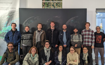
LogoGCE_transWe welcome Sarah Sophia Malec as new MSc student. Her thesis in done in close collaboration with DLR-EOC (Dr. Derek Rogge & Dr. Uta Heiden) on “Assessment of Soil degradation in Costa Rica using reflectance hyperspectral and simulated EnMAP imagery”. Sarah will work with hyperspectral imagery from Costa Rica and use spatial statistical models to analyse soil degradation. Sarah is a Global Change Ecology student and trained extensively in remote sensing, GIS, spatial modelling in the context of ecology, global change and its political implications. The first supervisor is Martin Wegmann, the second on Thomas Köllner.

follow us and share it on:

you may also like:

Mainpost reported on Stefan Dech’s Bavarian State Medal

Mainpost reported on Stefan Dech’s Bavarian State Medal

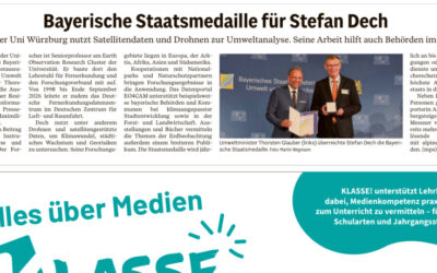
We’re happy to see that Mainpost, our local newspaper, also reported on the Bavarian State Medal for Outstanding Services to the Environment. Stefan Dech received it on October 21 at the Munich Residenz, and Environment Minister Thorsten Glauber gave the laudatory...

UrbanPulse in the Mainpost, and invitation to the festivities

UrbanPulse in the Mainpost, and invitation to the festivities

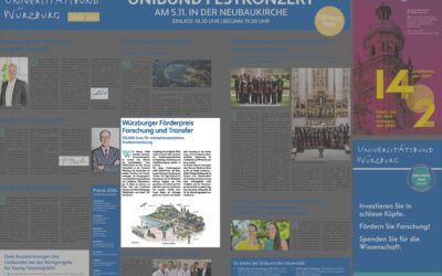
If you open the printed Mainpost today, keep an eye out for the Universitätsbund Würzburg’s invitation to the Festkonzert. Among the topics on the page, there’s one we’re rather proud of: our newly funded project URBAN:Pulse, which will be officially celebrated at the...

Field work for MONID-HABITRACK project

Field work for MONID-HABITRACK project

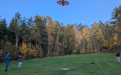
Today our researchers from the department working on the MONID-HABITRACK project, that is funded by the BMFTR, went to the field to acquire LiDAR, thermal and multispectral data with their drones. Within our department the project is located at the Chair of Remote...

bzgl. Art. 50 Verordnung (EU) 2024/1689 (AI Act):

Überwiegend werden eigene originäre Texte und Bilder des EORC genutzt, jedoch sind einige Inhalte von blog post Texten teilweise mit Hilfe von KI überarbeitet worden und einige Bilder sind ganz mit KI erstellt, die jedoch deutlich keine photorealistische Darstellungen abbilden. Aussnahmen sind KI generierte fernerkundliche Datensätze, die explizit für Forschungszwecke mit KI erstellt wurden, hier wird aber durch den assoziierten Text der wissenschaftliche Grund der KI generierten Bilder erläutert.

Share This